
Payl:Andorra location map.svg

Size of this PNG preview of this SVG file: 683 x 599 ka mga piksel. Uban pang mga resoluyon: 274 x 240 ka mga piksel | 547 x 480 ka mga piksel | 875 x 768 ka mga piksel | 1,167 x 1,024 ka mga piksel | 2,333 x 2,048 ka mga piksel | 1,161 x 1,019 ka mga piksel.
Tibuok resolusyon (SVG nga payl, nominally 1,161 × 1,019 pixels, size sa payl: 149 KB)
Mubong sugid:
| Deskripsyon |
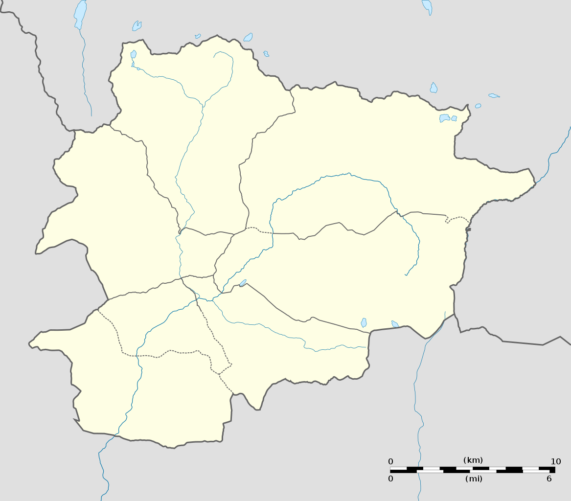
English: Blank administrative map of Andorra with parishes boundaries for geo-location purpose.
Note: Dotted lines are boundaries estimated from very small scale reference maps. Français : Carte administrative vierge de l'Andorre avec limites des paroisses destinée à la géolocalisation. Note : les lignes pointillées sont des limites estimées à partir de cartes de référence à très petite échelle. Equirectangular projection, WGS84 datum
Topographic scale: 1:372,000 (precision: 93 m)
|
||
| Petsa | |||
| Gigikanan |
Kaugalingong trabaho (Original text: Own work) |
||
| Tagsulat | Eric Gaba (Sting - fr:Sting) | ||
| Pagtugot (Paggamit pag-usab niini nga file) |
|
||
| Other versions |
|
||
| SVG genesis |

| Camera location | | View this and other nearby images on: OpenStreetMap |
|---|
Pagtugot
I, the copyright holder of this work, hereby publish it under the following licenses:
This file is licensed under the Creative Commons Attribution-Share Alike 3.0 Unported license.
- Libre ka:
- sa pagsabwag – sa pagkopya, pag-apod-apod ug pagsabwag sa hinimo
- sa pag-remix – sa pag-adap sa binuhat
- Ubos sa mosunod nga mga kondisyon:
- atribusyon – Kinahanglan nimo nga hatagan ang angay nga kredito, maghatag usa ka link sa lisensya, ug ipakita kung adunay mga pagbag-o. Mahimo nimo kini buhaton sa bisan unsang makatarunganon nga paagi, apan dili sa bisan unsang paagi nga nagsugyot nga gi-endorso ka sa licensor o ang imong paggamit.
- share parehas – Kung imong gi-remix, gibag-o, o gibase sa materyal, kinahanglan nimo nga iapod-apod ang imong mga kontribusyon sa ilawom sa parehas o katugma nga lisensya sama sa orihinal.

|
Gitugot ang pagkopya, pag-apud-apod o/ug pag-usab ning maong dokumento ubos sa mga termino sa GNU Free Documentation License, Version 1.2 o mas bag-ong bersiyon nga gimantala sa Free Software Foundation; nga walay Invariant Sections, walay Front-Cover Texts, ug walay Back-Cover Texts. Ang kopya sa lisensiya gilakip sa bahin nga giulohang GNU Free Documentation License. |
You may select the license of your choice.
Kaagi sa payl
I-klik ang petsa/oras aron makit-an ang hulagway sa payl niadtong panahona.
| Petsa/Takna | Thumbnail | Mga dimensyon | Tiggamit | Komento | |
|---|---|---|---|---|---|
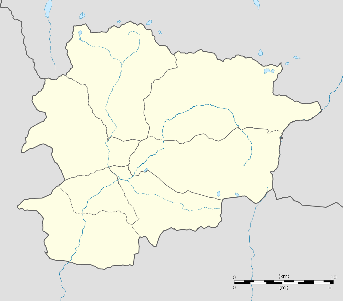
| kasamtangan | 20:06, 27 Disyembre 2010 | | 1,161 × 1,019 (149 KB) | Sting | Added parishes boundaries (some of them estimated) |
| 20:02, 17 Disyembre 2008 |  | 1,161 × 1,019 (142 KB) | Sting | Deleted temporary parishes boundaries | |
| 20:01, 17 Disyembre 2008 |  | 1,161 × 1,019 (171 KB) | Sting | Corrections on international boundaries; added (incomplete but reliable) parishes boundaries | |
| 20:24, 16 Disyembre 2008 |  | 1,161 × 1,019 (116 KB) | Sting | == Summary == {{Location|42|32|15|N|01|36|00|E|scale:200000}} <br/> {{Information |Description={{en|Blank administrative map of Andorra for geo-location purpose.}} {{fr|Carte administrative vierge de l'Andorre destinée à |
Mga paggamit sa payl
More than 100 pages use this file. The following list shows the first 100 pages that use this file only. A full list is available.
- Andorra la Vella
- Barranc de Montaup
- Bosc Negre
- Bosc de la Mata
- Bosc de la Pinosa
- Bosc del Tosquer
- Canal Fosca
- Canal Gran
- Canal Llisa
- Canal Pregona
- Canal Torta
- Canal de la Molina
- Canal de les Molleres
- Canal de l’Óssa
- Canal del Quer
- Canals Males
- Canya de les Grailes
- Cap de la Serra
- Coll Jovell
- Coll Pa
- Coll de Jou
- Coll de la Manyiga
- Collet Martí
- Cova de l'Óssa
- Cova de l’Óssa
- Escaldes-Engordany
- Estany Mort
- Estany Negre
- Estany Primer
- Estany Rodó
- Font Freda
- Font Roja
- Font dels Meners
- Fonts Roges
- La Massana
- La Planada
- La Portella
- Marrades Negres
- Massana
- Ordino
- Ortafà
- Pic Negre
- Pic du Port
- Planell Gran
- Port Dret
- Port Negre
- Port Vell
- Riu Sec
- Riu del Querol
- Roc Rodó
- Roc del Quer
- Roc del Rellotge
- Roca Negra
- Sant Julià de Lòria
- Sant Martí
- Sella
- Serra Mitjana
- Serra Plana
- Gumagamit:Lsjbot/geotest/Bosc del Tosquer (pagklaro)
- Gumagamit:Lsjbot/geotest/Canal Torta (pagklaro)
- Gumagamit:Lsjbot/geotest/Cap de la Serra (pagklaro)
- Gumagamit:Lsjbot/geotest/Coll de Vista (pagklaro)
- Gumagamit:Lsjbot/geotest/Pic de Font Blanca
- Gumagamit:Lsjbot/geotest/Pic de Mil-Menut
- Gumagamit:Lsjbot/geotest/Port Vell (pagklaro)
- Gumagamit:Lsjbot/geotest/Riu Sec (pagklaro)
- Gumagamit:Lsjbot/geotest/Riu del Seig (pagklaro)
- Gumagamit:Lsjbot/geotest/Sant Julià de Lòria (pagklaro)
- Gumagamit:Lsjbot/geotest/Sant Julià de Lòria (rehyon)
- Gumagamit:Lsjbot/geotest/Sant Marti (pagklaro)
- Gumagamit:Lsjbot/geotest/Sant Martí (pagklaro)
- Gumagamit:Lsjbot/geotest/Sella (pagklaro)
- Gumagamit:Lsjbot/geotest/Siscaro (pagklaro)
- Gumagamit:Lsjbot/geotest/Siscaró (pagklaro)
- Gumagamit:Lsjbot/geotest2/El Tarter
- Gumagamit:Lsjbot/geotest2/Pic de Font Blanca
- Gumagamit:Lsjbot/geotest2/Pic de Mil-Menut
- Gumagamit:Lsjbot/geotest2/Sant Julià de Lòria (rehyon)
- Gumagamit:Lsjbot/geotest3/Sant Julià de Lòria (rehyon)
- Gumagamit:Lsjbot/geotest3/Solana de l’Estall Serrer
- Gumagamit:Lsjbot/geotest3/Solanes de la Peguera
- Gumagamit:Lsjbot/geotest3/Xixerella
- Gumagamit:Lsjbot/geotest4/Ordino (rehyon)
- Gumagamit:Lsjbot/geotest4/Riu del Seig (administratibong yunit)
- Gumagamit:Lsjbot/geotest4/Rocafort (administratibong yunit)
- Gumagamit:Lsjbot/geotest4/Solana de la Baronia
- Gumagamit:Lsjbot/geotest4/Solana de l’Estall Serrer
- Gumagamit:Lsjbot/geotest4/Solanes de la Peguera
- Gumagamit:Lsjbot/geotest4/Solà de Ràmio
- Gumagamit:Lsjbot/geotest4/Solà de Soldeu
- Gumagamit:Lsjbot/geotest4/Solà de la Moixella
- Gumagamit:Lsjbot/geotest4/Solà de l’Aldosa
- Gumagamit:Lsjbot/geotest4/Solà del Pui
- Gumagamit:Lsjbot/geotest4/Solà del Quart Mitger
- Gumagamit:Lsjbot/geotest4/Solà del Tarter
- Gumagamit:Lsjbot/geotest4/Solà dels Plans
- Gumagamit:Lsjbot/geotest4/Solà dels Sulls
- Gumagamit:Lsjbot/geotest4/Solà d’Aixovall
- Gumagamit:Lsjbot/geotest4/Solà d’Andorra
- Gumagamit:Lsjbot/geotest4/Solà d’Encamp
View more links to this file.
Global nga paggamit sa payl
Kining ubang wiki naggamit ning maong payl:
- Paggamit sa af.wikipedia.org
- Paggamit sa an.wikipedia.org
- Paggamit sa ar.wikipedia.org
- Paggamit sa ast.wikipedia.org
- Les Escaldes
- Puertu d'Envalira
- Andorra la Vieya
- Soldeu
- Llagos de Tristaina
- El Tarter
- Incles
- Arans
- Comapedrosa
- Módulu:Mapa de llocalización/datos/Andorra
- Módulu:Mapa de llocalización/datos/Andorra/usu
- Helipuertu d'Andorra la Vieya
- Casa de la Vall
- Ilesia de San Esteban (Andorra)
- Pont de la Margineda
- Ilesia de Sant Vicenç d'Enclar
- Ilesia de Santa Coloma (Andorra)
- Hospital Nostra Senyora de Meritxell
- Paggamit sa av.wikipedia.org
- Paggamit sa az.wikipedia.org
- Paggamit sa ba.wikipedia.org
- Paggamit sa be-tarask.wikipedia.org
- Paggamit sa be.wikipedia.org
- Paggamit sa bg.wikipedia.org
- Paggamit sa bn.wikipedia.org
- Paggamit sa bs.wikipedia.org
View more global usage of this file.