
Payl:Attica Indiana from the west.png
Gidak-on ning maong paunang tan-aw: 800 x 400 ka mga piksel. Uban pang mga resoluyon: 320 x 160 ka mga piksel | 640 x 320 ka mga piksel | 1,024 x 511 ka mga piksel | 1,600 x 799 ka mga piksel.
Tibuok resolusyon (1,600 × 799 pixels, size sa payl: 2.15 MB, MIME type: image/png)
Mubong sugid:
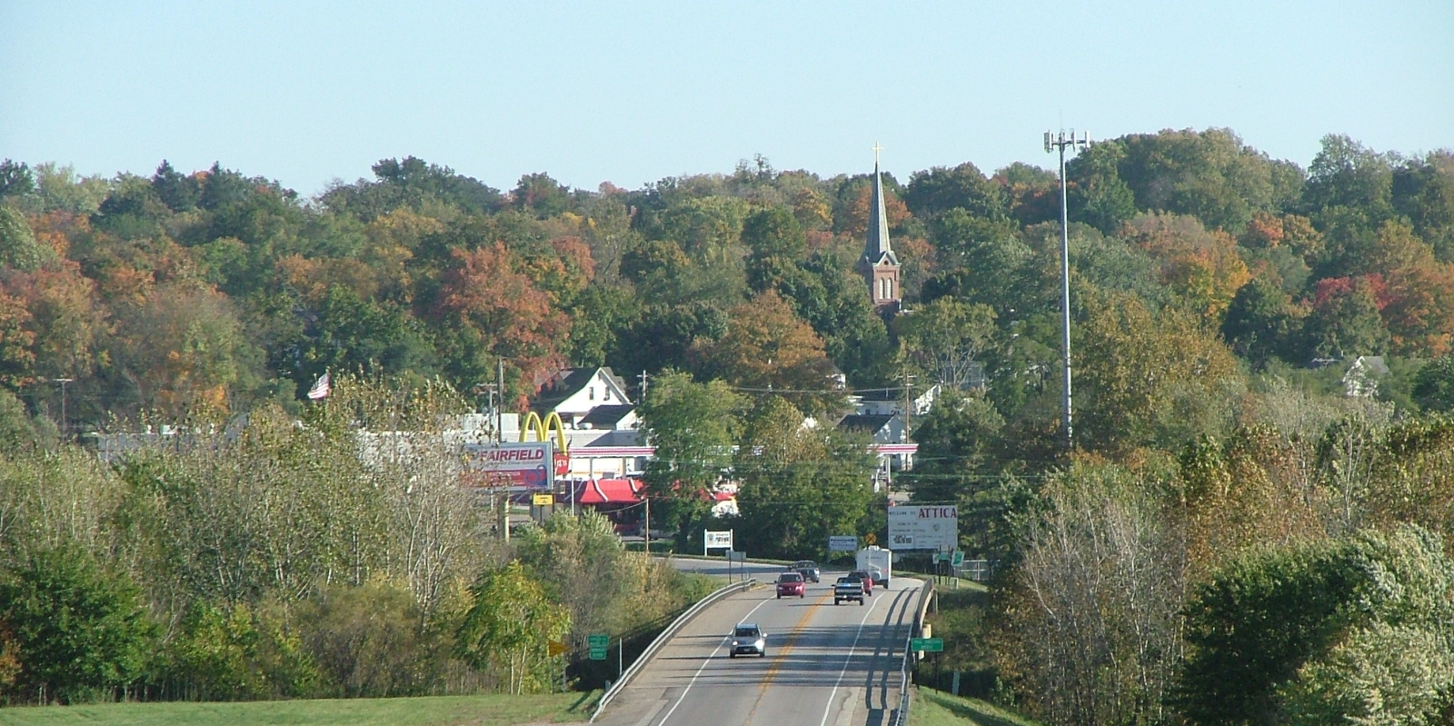
| Deskripsyon | A view of Attica, Indiana, looking east from Warren County across the Wabash River along the Paul Dresser Bridge. |
| Petsa | Taken on 21 Oktubre 2007 |
| Gigikanan | Self-photographed |
| Tagsulat | Omnedon |
| Camera location | | View this and other nearby images on: OpenStreetMap |
|---|
Pagtugot
| I, the copyright holder of this work, release this work into the public domain. This applies worldwide. In some countries this may not be legally possible; if so: I grant anyone the right to use this work for any purpose, without any conditions, unless such conditions are required by law. |
Kaagi sa payl
I-klik ang petsa/oras aron makit-an ang hulagway sa payl niadtong panahona.
| Petsa/Takna | Thumbnail | Mga dimensyon | Tiggamit | Komento | |
|---|---|---|---|---|---|
| kasamtangan | 22:14, 22 Oktubre 2007 | | 1,600 × 799 (2.15 MB) | Omnedon | {{Information |Description=A view of Attica, Indiana, looking east from Warren County across the Wabash River |Source=Own photo |Date=2007-10-21 |Author= Omnedon }} |
Mga paggamit sa payl
Ang mosunod nga mga panid misumpay niining payl:
Global nga paggamit sa payl
Kining ubang wiki naggamit ning maong payl:
- Paggamit sa ar.wikipedia.org
- Paggamit sa arz.wikipedia.org
- Paggamit sa azb.wikipedia.org
- Paggamit sa ca.wikipedia.org
- Paggamit sa ce.wikipedia.org
- Paggamit sa cy.wikipedia.org
- Paggamit sa en.wikipedia.org
- Paggamit sa es.wikipedia.org
- Paggamit sa eu.wikipedia.org
- Paggamit sa fa.wikipedia.org
- Paggamit sa fr.wikipedia.org
- Paggamit sa hi.wikipedia.org
- Paggamit sa ht.wikipedia.org
- Paggamit sa it.wikipedia.org
- Paggamit sa ja.wikipedia.org
- Paggamit sa lld.wikipedia.org
- Paggamit sa nl.wikipedia.org
- Paggamit sa no.wikipedia.org
- Paggamit sa pl.wikipedia.org
- Paggamit sa pt.wikipedia.org
- Paggamit sa sh.wikipedia.org
- Paggamit sa sq.wikipedia.org
- Paggamit sa sr.wikipedia.org
- Paggamit sa tt.wikipedia.org
- Paggamit sa uk.wikipedia.org
- Paggamit sa ur.wikipedia.org
- Paggamit sa uz.wikipedia.org
- Paggamit sa www.wikidata.org
- Paggamit sa zh-min-nan.wikipedia.org
- Paggamit sa zh.wikipedia.org