
Payl:Eglise Sainte Quitterie de Gratentour.jpg

Gidak-on ning maong paunang tan-aw: 800 x 586 ka mga piksel. Uban pang mga resoluyon: 320 x 234 ka mga piksel | 640 x 469 ka mga piksel | 1,024 x 750 ka mga piksel | 1,280 x 937 ka mga piksel | 2,560 x 1,875 ka mga piksel | 6,708 x 4,912 ka mga piksel.
Tibuok resolusyon (6,708 × 4,912 pixels, size sa payl: 20.31 MB, MIME type: image/jpeg)
Mubong sugid:
|
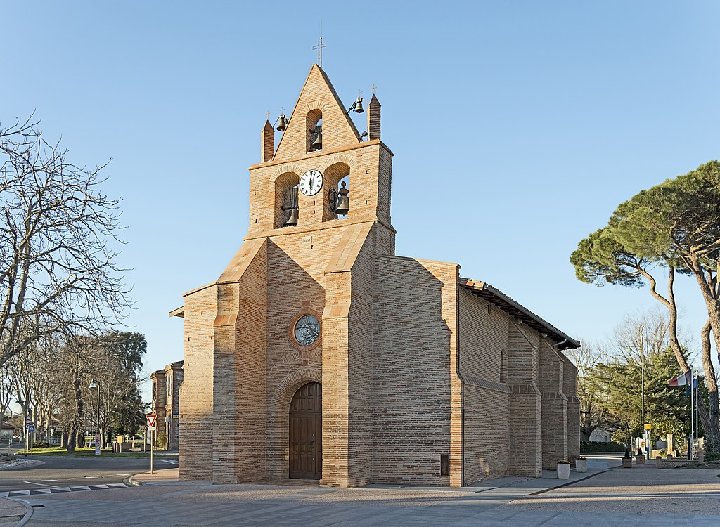
Gratentour, Haute-Garonne France - Sainte-Quitterie Church - South East exposure | |||
|
| |||

| Deskripsyon |
English: Gratentour Haute-Garonne. Sainte-Quitterie Church. Français : Gratentour (Haute-Garonne). L’église Sainte-Quitterie. |
| Petsa | Taken on 9 Marso 2014 |
| Gigikanan | Kaugalingong trabaho |
| Tagsulat | Didier Descouens |
| Pagtugot (Paggamit pag-usab niini nga file) |
I, the copyright holder of this work, hereby publish it under the following license: This file is licensed under the Creative Commons Attribution-Share Alike 4.0 International license.
|
| Camera location | | View this and other nearby images on: OpenStreetMap |
|---|
Kaagi sa payl
I-klik ang petsa/oras aron makit-an ang hulagway sa payl niadtong panahona.
| Petsa/Takna | Thumbnail | Mga dimensyon | Tiggamit | Komento | |
|---|---|---|---|---|---|
| kasamtangan | 06:51, 23 Abril 2014 | | 6,708 × 4,912 (20.31 MB) | Archaeodontosaurus | {{Information |Description= |Source={{own}} |Date= |Author= Archaeodontosaurus |Permission= |other_versions= }} |
Mga paggamit sa payl
Ang mosunod nga mga panid misumpay niining payl:
Global nga paggamit sa payl
Kining ubang wiki naggamit ning maong payl:
- Paggamit sa an.wikipedia.org
- Paggamit sa az.wikipedia.org
- Paggamit sa bug.wikipedia.org
- Paggamit sa ca.wikipedia.org
- Paggamit sa de.wikipedia.org
- Paggamit sa en.wikipedia.org
- Paggamit sa es.wikipedia.org
- Paggamit sa eu.wikipedia.org
- Paggamit sa fr.wikipedia.org
- Paggamit sa it.wikipedia.org
- Paggamit sa ms.wikipedia.org
- Paggamit sa oc.wikipedia.org
- Paggamit sa pl.wikipedia.org
- Paggamit sa ro.wikipedia.org
- Paggamit sa ru.wikipedia.org
- Paggamit sa sk.wikipedia.org
- Paggamit sa sq.wikipedia.org
- Paggamit sa sv.wikipedia.org
- Paggamit sa uk.wikipedia.org
- Paggamit sa vi.wikipedia.org
- Paggamit sa vo.wikipedia.org
- Paggamit sa war.wikipedia.org
- Paggamit sa www.wikidata.org
- Paggamit sa zh.wikipedia.org