
Payl:Iceland location map.svg

Size of this PNG preview of this SVG file: 800 x 567 ka mga piksel. Uban pang mga resoluyon: 320 x 227 ka mga piksel | 640 x 454 ka mga piksel | 1,024 x 726 ka mga piksel | 1,280 x 908 ka mga piksel | 2,560 x 1,815 ka mga piksel | 1,186 x 841 ka mga piksel.
Tibuok resolusyon (SVG nga payl, nominally 1,186 × 841 pixels, size sa payl: 213 KB)
Mubong sugid:
| Deskripsyon |
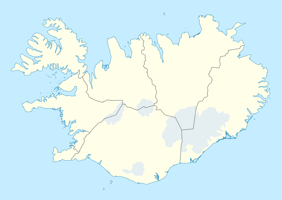
Deutsch: Positionskarte von Island
Quadratische Plattkarte, N-S-Streckung 230 %. Geographische Begrenzung der Karte:
English: Location map of Iceland
Equirectangular projection, N/S stretching 230 %. Geographic limits of the map:
|
| Petsa | |
| Gigikanan | own work, using United States National Imagery and Mapping Agency data |
| Tagsulat | NordNordWest |
| Other versions | Derivative works of this file: Iceland relief map.jpg |

|
This map has been made or improved in the German Kartenwerkstatt (Map Lab). You can propose maps to improve as well.
|
Pagtugot
I, the copyright holder of this work, hereby publish it under the following licenses:

|
Gitugot ang pagkopya, pag-apud-apod o/ug pag-usab ning maong dokumento ubos sa mga termino sa GNU Free Documentation License, Version 1.2 o mas bag-ong bersiyon nga gimantala sa Free Software Foundation; nga walay Invariant Sections, walay Front-Cover Texts, ug walay Back-Cover Texts. Ang kopya sa lisensiya gilakip sa bahin nga giulohang GNU Free Documentation License. |
This file is licensed under the Creative Commons Attribution-Share Alike 3.0 Unported license.
- Libre ka:
- sa pagsabwag – sa pagkopya, pag-apod-apod ug pagsabwag sa hinimo
- sa pag-remix – sa pag-adap sa binuhat
- Ubos sa mosunod nga mga kondisyon:
- atribusyon – Kinahanglan nimo nga hatagan ang angay nga kredito, maghatag usa ka link sa lisensya, ug ipakita kung adunay mga pagbag-o. Mahimo nimo kini buhaton sa bisan unsang makatarunganon nga paagi, apan dili sa bisan unsang paagi nga nagsugyot nga gi-endorso ka sa licensor o ang imong paggamit.
- share parehas – Kung imong gi-remix, gibag-o, o gibase sa materyal, kinahanglan nimo nga iapod-apod ang imong mga kontribusyon sa ilawom sa parehas o katugma nga lisensya sama sa orihinal.
You may select the license of your choice.
Kaagi sa payl
I-klik ang petsa/oras aron makit-an ang hulagway sa payl niadtong panahona.
| Petsa/Takna | Thumbnail | Mga dimensyon | Tiggamit | Komento | |
|---|---|---|---|---|---|
| kasamtangan | 16:25, 11 Oktubre 2013 | | 1,186 × 841 (213 KB) | NordNordWest | upd |
| 14:41, 20 Oktubre 2010 |  | 1,186 × 841 (272 KB) | NordNordWest | upd | |
| 15:25, 3 Hulyo 2008 |  | 1,186 × 841 (271 KB) | NordNordWest | corrected | |
| 19:38, 30 Hunyo 2008 |  | 1,186 × 841 (269 KB) | NordNordWest | ||
| 17:37, 29 Hunyo 2008 |  | 1,186 × 841 (273 KB) | NordNordWest | {{Information |Description= {{de|Positionskarte von Island}} Quadratische Plattkarte, N-S-Streckung 230 %. Geographische Begrenzung der Karte: * N: 66.8° N * S: 63.1° N * W: 25° W * O: 13° W {{en|Location map of Iceland} |
Mga paggamit sa payl
More than 100 pages use this file. The following list shows the first 100 pages that use this file only. A full list is available.
- Araos
- Arnes
- As (pagklaro)
- Baka
- Bani
- Bard (pagklaro)
- Berg (pagklaro)
- Berga
- Blesa
- Branda
- Bruni
- Bunga
- Capital Region
- Dala
- Dalaa
- East
- Elda
- Etna
- Fell
- Flag
- Framnes
- Fula
- Gilsa
- Graborg
- Grim
- Grima
- Grind
- Hafur
- Hala (pagklaro)
- Hals
- Heima
- Hemön
- Heya
- Hola
- Horn
- Horna
- Joka
- Kana (pagklaro)
- Karl
- Kista
- Kolka
- Kolla (pagklaro)
- Kota
- Kula
- Lamba
- Langa
- Langa River
- Las
- Lax
- Leira
- Lja
- Loki (pagklaro)
- Lon
- Lonsa
- Lutur
- Mana (pagklaro)
- Mora (pagklaro)
- Mosar
- Muli
- Nesa
- Nipa
- North Cape
- Northeast
- Northwest
- Ok
- Ol’shanka
- Osa (pagklaro)
- Pap
- Paradis
- Penna
- Portland
- Rauda
- Sand (pagklaro)
- Sanda
- Sandvatn
- Sandvig
- Sata
- Sela
- Selas
- Selja
- Skagen
- South
- Stafa
- Steina
- Steinnes
- Stod
- Storaa
- Sulur
- Sunna
- Svina
- Syd
- The Nest
- Tinda Mountain
- Tofi
- Trong
- Tunga (pagklaro)
- Tó
- Vala
- Veita
- Vik
View more links to this file.
Global nga paggamit sa payl
Kining ubang wiki naggamit ning maong payl:
- Paggamit sa af.wikipedia.org
- Paggamit sa als.wikipedia.org
- Paggamit sa ar.wikipedia.org
- Paggamit sa arz.wikipedia.org
- Paggamit sa av.wikipedia.org
- Paggamit sa az.wikipedia.org
- Paggamit sa ba.wikipedia.org
- Paggamit sa be-tarask.wikipedia.org
- Paggamit sa be.wikipedia.org
View more global usage of this file.