
Payl:Japan bluemarble location map with side map of the Ryukyu Islands.jpg
Gidak-on ning maong paunang tan-aw: 664 x 600 ka mga piksel. Uban pang mga resoluyon: 266 x 240 ka mga piksel | 531 x 480 ka mga piksel | 850 x 768 ka mga piksel | 1,133 x 1,024 ka mga piksel | 2,497 x 2,256 ka mga piksel.
Tibuok resolusyon (2,497 × 2,256 pixels, size sa payl: 1.38 MB, MIME type: image/jpeg)
Mubong sugid:
| Deskripsyon |
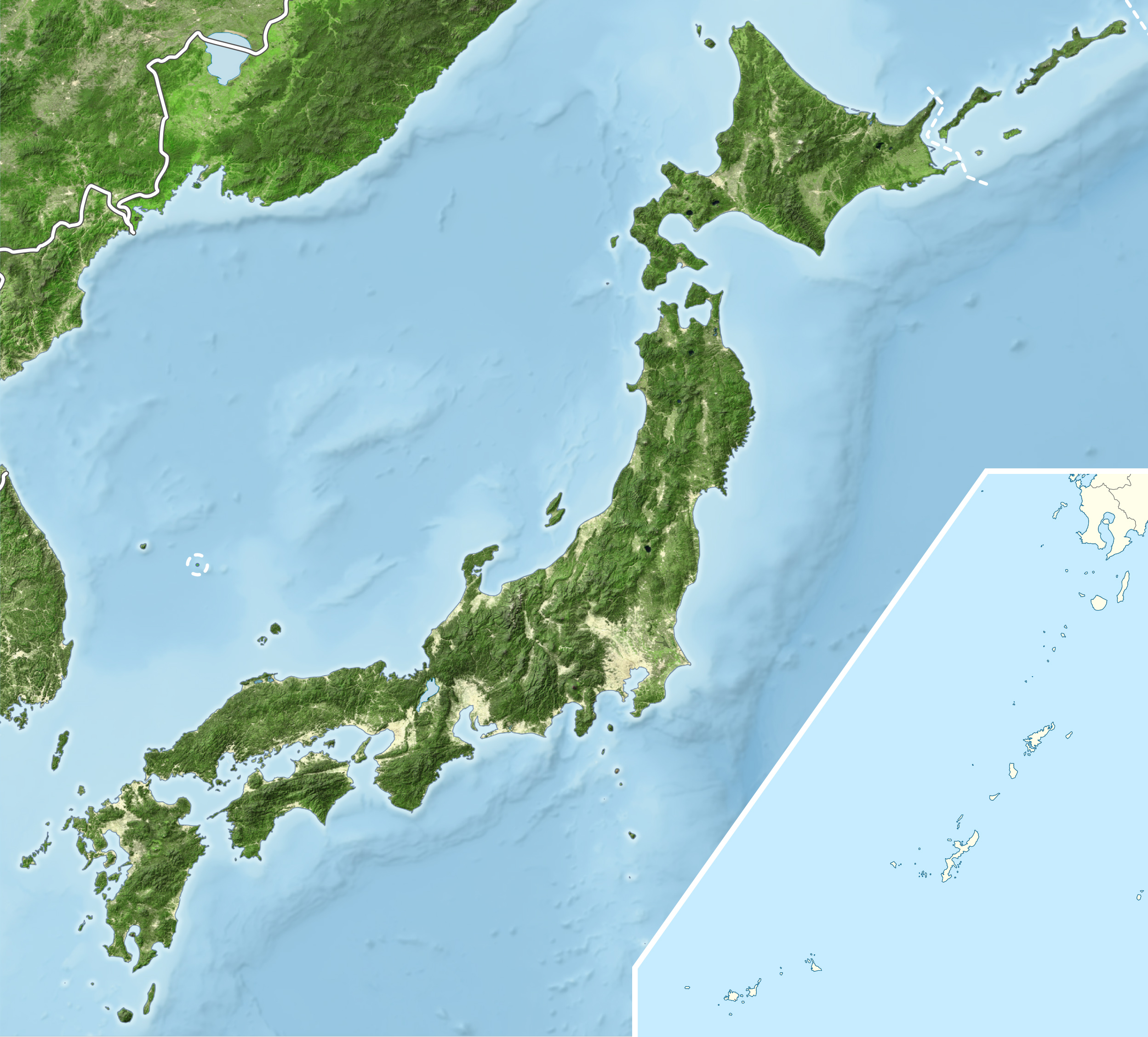
English: Blue Marble Location map of Japan
Equirectangular projection. Geographic limits to locate objects in the main map with the main islands:
Geographic limits to locate objects in the side map with the Ryukyu Islands:
|
||
| Petsa | |||
| Gigikanan |
|
||
| Tagsulat | Alexrk2 | ||
| Pagtugot (Paggamit pag-usab niini nga file) |
This file is licensed under the Creative Commons Attribution-Share Alike 3.0 Unported license.
|
||
| Other versions |
|


Kaagi sa payl
I-klik ang petsa/oras aron makit-an ang hulagway sa payl niadtong panahona.
| Petsa/Takna | Thumbnail | Mga dimensyon | Tiggamit | Komento | |
|---|---|---|---|---|---|
| kasamtangan | 19:55, 22 Marso 2011 | | 2,497 × 2,256 (1.38 MB) | Alexrk2 | RGB |
| 19:07, 22 Marso 2011 |  | 2,497 × 2,256 (878 KB) | Chumwa | RGB mode | |
| 21:57, 21 Marso 2011 |  | 2,497 × 2,256 (1.88 MB) | Alexrk2 | jpg quality | |
| 21:05, 21 Marso 2011 |  | 2,497 × 2,256 (1.82 MB) | Alexrk2 | == {{int:filedesc}} == {{Information |Description= {{en|Blue Marble Location map of Japan Equirectangular projection. Geographic limits to locate objects in the main map with the main islands: * N: 45°51'37" N (45.86°N) * S: 30°01'13" N |
Mga paggamit sa payl
Ang mosunod nga mga panid misumpay niining payl:
Global nga paggamit sa payl
Kining ubang wiki naggamit ning maong payl:
- Paggamit sa ace.wikipedia.org
- Paggamit sa ar.wikipedia.org
- Paggamit sa arz.wikipedia.org
- Paggamit sa ast.wikipedia.org
- Paggamit sa as.wikipedia.org
- Paggamit sa azb.wikipedia.org
- Paggamit sa ban.wikipedia.org
- Paggamit sa bcl.wikipedia.org
- Paggamit sa bh.wikipedia.org
- Paggamit sa bn.wikipedia.org
- Paggamit sa br.wikipedia.org
- Paggamit sa bs.wikipedia.org
- Paggamit sa ca.wikipedia.org
- Paggamit sa ckb.wikipedia.org
- Paggamit sa cs.wikipedia.org
- Paggamit sa da.wikipedia.org
- Paggamit sa de.wikipedia.org
- Paggamit sa diq.wikipedia.org
- Paggamit sa dty.wikipedia.org
- Paggamit sa el.wikipedia.org
View more global usage of this file.