
Payl:Japan natural location map with side map of the Ryukyu Islands.jpg

Gidak-on ning maong paunang tan-aw: 664 x 600 ka mga piksel. Uban pang mga resoluyon: 266 x 240 ka mga piksel | 531 x 480 ka mga piksel | 850 x 768 ka mga piksel | 1,133 x 1,024 ka mga piksel | 2,497 x 2,256 ka mga piksel.
Tibuok resolusyon (2,497 × 2,256 pixels, size sa payl: 830 KB, MIME type: image/jpeg)
Mubong sugid:
| Deskripsyon |
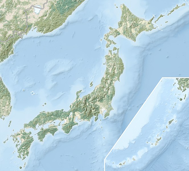
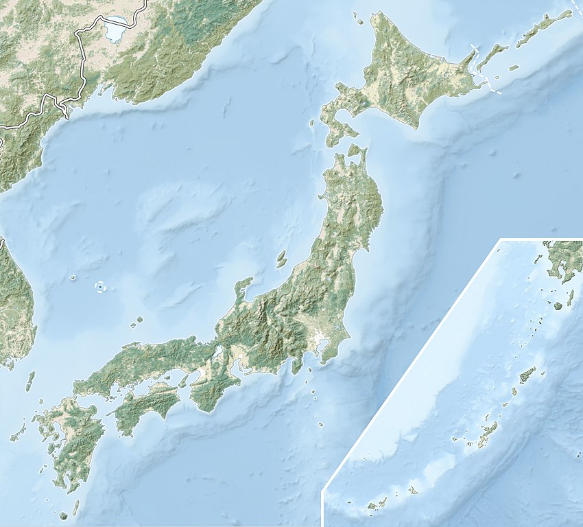
English: Natural Location map of Japan
Equirectangular projection. Geographic limits to locate objects in the main map with the main islands:
Geographic limits to locate objects in the side map with the Ryukyu Islands:
|
||
| Petsa | |||
| Gigikanan |
|
||
| Tagsulat | Alexrk2 | ||
| Pagtugot (Paggamit pag-usab niini nga file) |
This file is licensed under the Creative Commons Attribution-Share Alike 3.0 Unported license.
|
||
| Other versions |
|


Kaagi sa payl
I-klik ang petsa/oras aron makit-an ang hulagway sa payl niadtong panahona.
| Petsa/Takna | Thumbnail | Mga dimensyon | Tiggamit | Komento | |
|---|---|---|---|---|---|
| kasamtangan | 21:41, 9 Marso 2022 | | 2,497 × 2,256 (830 KB) | Sting | Natural Earth land cover data for Ryukyu Islands |
| 09:44, 22 Hunyo 2018 |  | 2,497 × 2,256 (794 KB) | Mardetanha | Reverted to version as of 19:56, 22 March 2011 (UTC) | |
| 19:56, 22 Marso 2011 |  | 2,497 × 2,256 (794 KB) | Alexrk2 | RGB | |
| 19:07, 22 Marso 2011 |  | 2,497 × 2,256 (745 KB) | Chumwa | RGB mode | |
| 21:08, 21 Marso 2011 |  | 2,497 × 2,256 (1.54 MB) | Alexrk2 | == {{int:filedesc}} == {{Information |Description= {{en|Natural Location map of Japan Equirectangular projection. Geographic limits to locate objects in the main map with the main islands: * N: 45°51'37" N (45.86°N) * S: 30°01'13" N (30. |
Mga paggamit sa payl
Ang mosunod nga mga panid misumpay niining payl:
Global nga paggamit sa payl
Kining ubang wiki naggamit ning maong payl:
- Paggamit sa ace.wikipedia.org
- Paggamit sa als.wikipedia.org
- Paggamit sa ar.wikipedia.org
- Paggamit sa arz.wikipedia.org
- Paggamit sa ast.wikipedia.org
- Paggamit sa as.wikipedia.org
- Paggamit sa azb.wikipedia.org
- Paggamit sa az.wikipedia.org
- Hokkaydo
- Kyuşu
- Fuci
- Honşu
- İtsukuşima
- Asama dağı
- Şablon:Yer xəritəsi Yaponiya
- Tohoku zəlzələsi və sunamisi (2011)
- Fukuşima-1 AES
- Böyük Hanşin zəlzələsi
- Böyük Kanto zəlzələsi
- Hoey zəlzələsi
- Mino-Ovari zəlzələsi (1891)
- Yapon çökəkliyi
- Ryukyu adaları
- Osumi boğazı
- Sanqar boğazı
- Koreya boğazı
- Tsuşima boğazı
- Harim dənizi
- Yatsuşiro dənizi
- Hiuqa dənizi
- Daxili Yapon dənizi
- Atsumi yarımadası
- Naqasaki yarımadası
- İzu yarımadası
- Simabara yarımadası
- Şiretoko yarımadası
- Nosuke yarımadası
View more global usage of this file.