
Payl:Mexico Zacatecas location map.svg

Size of this PNG preview of this SVG file: 488 x 599 ka mga piksel. Uban pang mga resoluyon: 195 x 240 ka mga piksel | 391 x 480 ka mga piksel | 626 x 768 ka mga piksel | 834 x 1,024 ka mga piksel | 1,668 x 2,048 ka mga piksel | 4,024 x 4,940 ka mga piksel.
Tibuok resolusyon (SVG nga payl, nominally 4,024 × 4,940 pixels, size sa payl: 106 KB)
Mubong sugid:
| Deskripsyon |
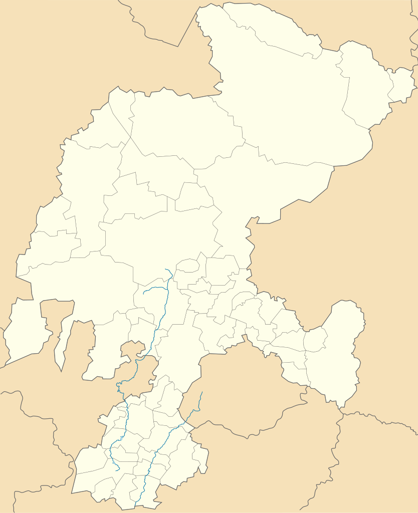
English: Location Map of Zacatecas Equirectangular projection, Geographic limits of the map:
|
| Petsa | |
| Gigikanan | Kaugalingong trabaho |
| Tagsulat | MikSed |
Pagtugot
I, the copyright holder of this work, hereby publish it under the following license:
This file is licensed under the Creative Commons Attribution-Share Alike 3.0 Unported license.
- Libre ka:
- sa pagsabwag – sa pagkopya, pag-apod-apod ug pagsabwag sa hinimo
- sa pag-remix – sa pag-adap sa binuhat
- Ubos sa mosunod nga mga kondisyon:
- atribusyon – Kinahanglan nimo nga hatagan ang angay nga kredito, maghatag usa ka link sa lisensya, ug ipakita kung adunay mga pagbag-o. Mahimo nimo kini buhaton sa bisan unsang makatarunganon nga paagi, apan dili sa bisan unsang paagi nga nagsugyot nga gi-endorso ka sa licensor o ang imong paggamit.
- share parehas – Kung imong gi-remix, gibag-o, o gibase sa materyal, kinahanglan nimo nga iapod-apod ang imong mga kontribusyon sa ilawom sa parehas o katugma nga lisensya sama sa orihinal.
Kaagi sa payl
I-klik ang petsa/oras aron makit-an ang hulagway sa payl niadtong panahona.
| Petsa/Takna | Thumbnail | Mga dimensyon | Tiggamit | Komento | |
|---|---|---|---|---|---|
| kasamtangan | 16:17, 18 Agosto 2023 | | 4,024 × 4,940 (106 KB) | GrandEscogriffe | more correct north-south stretching |
| 04:40, 16 Pebrero 2014 |  | 4,024 × 5,111 (126 KB) | Battroid | =={{int:filedesc}}== {{Information |description={{en|1=Location Map of Zacatecas Equirectangular projection, Geographic limits of the map: * N: 25.19° N * S: 21.00° N * W: 104.40° W * E: 100.69° W}} |date=2013-07-21 |source={{own}} |author=[[User:M... | |
| 09:36, 22 Hulyo 2013 |  | 4,024 × 5,111 (84 KB) | MikSed | User created page with UploadWizard |
Mga paggamit sa payl
There are no pages that use this file.
Global nga paggamit sa payl
Kining ubang wiki naggamit ning maong payl:
- Paggamit sa ce.wikipedia.org
- Paggamit sa de.wikipedia.org
- Zacatecas (Stadt)
- Wikipedia:Kartenwerkstatt/Positionskarten/Nordamerika
- Estadio Francisco Villa
- Fresnillo
- Vorlage:Positionskarte Mexiko Zacatecas
- Jerez de García Salinas
- Nationalpark Sierra de Órganos
- Pinos (Zacatecas)
- Sombrerete
- Teúl de González Ortega
- Nochistlán
- Chalchihuites
- Guadalupe (Zacatecas)
- Valparaíso (Zacatecas)
- Villa González Ortega
- Tlaltenango de Sánchez Román
- Paggamit sa en.wikipedia.org
- Zacatecas (city)
- Fresnillo
- Zacatecas International Airport
- Nochistlán
- Valparaíso, Zacatecas
- Atolinga
- Ojitos de Santa Lucía
- Tlaltenango de Sánchez Román Municipality
- Jerez de García Salinas
- Sombrerete, Zacatecas
- Jalpa, Zacatecas
- Guadalupe, Zacatecas
- Apozol
- Apulco
- Cuauhtémoc Municipality, Zacatecas
- Milpillas de Allende
- Villa Hidalgo, Zacatecas
- Villanueva, Zacatecas
- Momax
- Module:Location map/data/Mexico Zacatecas
- Module:Location map/data/Mexico Zacatecas/doc
- Module:Location map/data/Zacatecas
- 2018–19 Liga TDP season
- 2019–20 Liga TDP season
- Villa Insurgentes
- 2020–21 Liga TDP season
- 2017–18 Tercera División de México season
- 2016–17 Tercera División de México season
- 2015–16 Tercera División de México season
- Miguel Auza Municipality
- 2014–15 Tercera División de México season
- 2013–14 Tercera División de México season
- 2012–13 Tercera División de México season
View more global usage of this file.