
Payl:Middle East topographic map-blank.svg

Size of this PNG preview of this SVG file: 800 x 501 ka mga piksel. Uban pang mga resoluyon: 320 x 200 ka mga piksel | 640 x 400 ka mga piksel | 1,024 x 641 ka mga piksel | 1,280 x 801 ka mga piksel | 2,560 x 1,602 ka mga piksel | 3,097 x 1,938 ka mga piksel.
Tibuok resolusyon (SVG nga payl, nominally 3,097 × 1,938 pixels, size sa payl: 10.02 MB)
Mubong sugid:

| Camera location | | View this and other nearby images on: OpenStreetMap |
|---|
Pagtugot
I, the copyright holder of this work, hereby publish it under the following licenses:
| Copyleft: This work of art is free; you can redistribute it and/or modify it according to terms of the Free Art License. You will find a specimen of this license on the Copyleft Attitude site as well as on other sites. |
This file is licensed under the Creative Commons Attribution-Share Alike Attribution-Share Alike 4.0 International, 3.0 Unported, 2.5 Generic, 2.0 Generic and 1.0 Generic license.
- Libre ka:
- sa pagsabwag – sa pagkopya, pag-apod-apod ug pagsabwag sa hinimo
- sa pag-remix – sa pag-adap sa binuhat
- Ubos sa mosunod nga mga kondisyon:
- atribusyon – Kinahanglan nimo nga hatagan ang angay nga kredito, maghatag usa ka link sa lisensya, ug ipakita kung adunay mga pagbag-o. Mahimo nimo kini buhaton sa bisan unsang makatarunganon nga paagi, apan dili sa bisan unsang paagi nga nagsugyot nga gi-endorso ka sa licensor o ang imong paggamit.
- share parehas – Kung imong gi-remix, gibag-o, o gibase sa materyal, kinahanglan nimo nga iapod-apod ang imong mga kontribusyon sa ilawom sa parehas o katugma nga lisensya sama sa orihinal.
You may select the license of your choice.
Kaagi sa payl
I-klik ang petsa/oras aron makit-an ang hulagway sa payl niadtong panahona.
| Petsa/Takna | Thumbnail | Mga dimensyon | Tiggamit | Komento | |
|---|---|---|---|---|---|
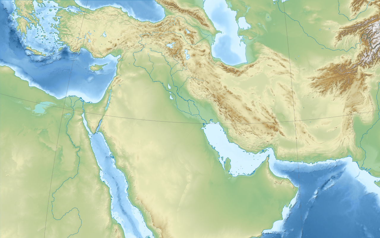
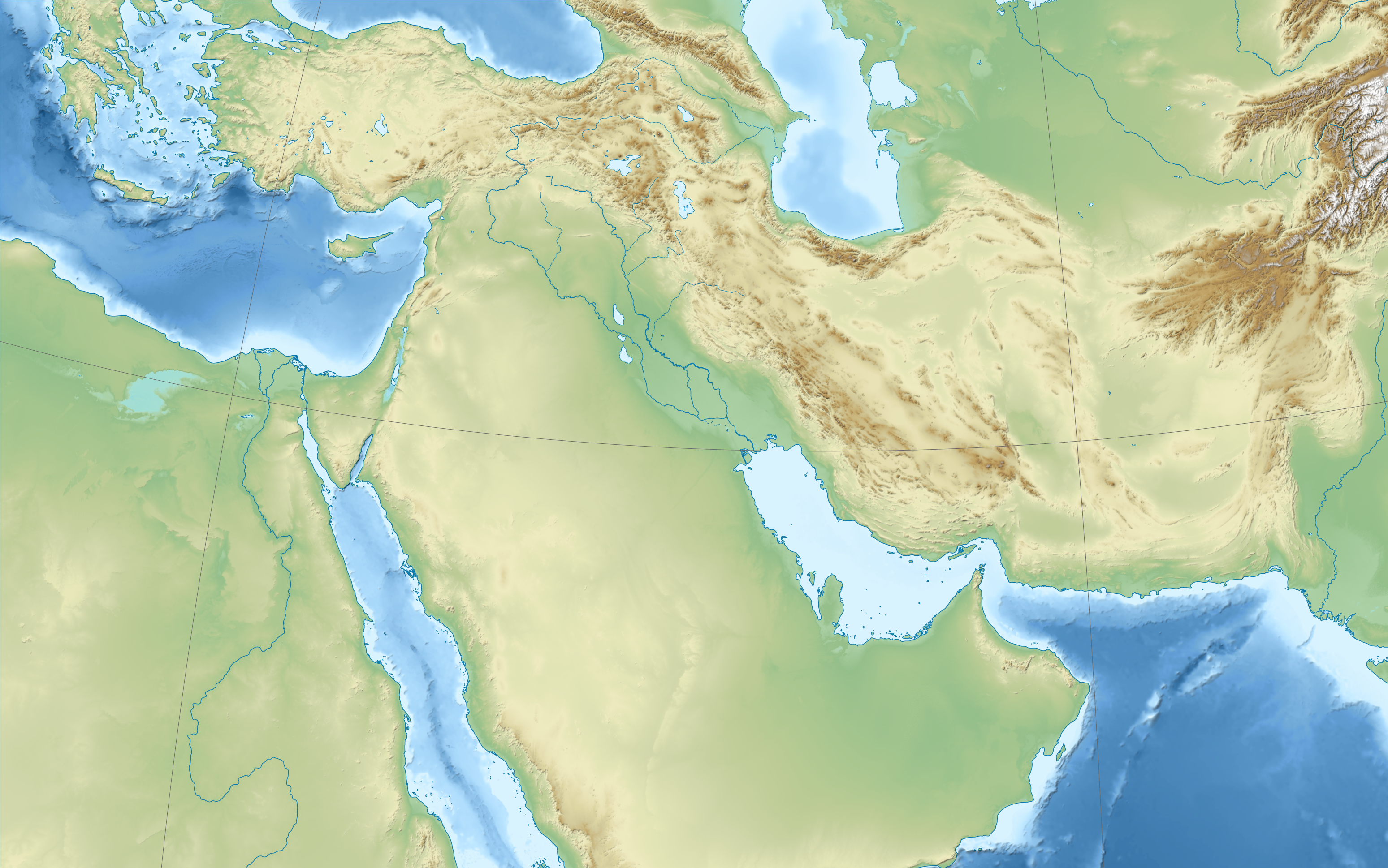
| kasamtangan | 17:52, 3 Nobiyembre 2010 | | 3,097 × 1,938 (10.02 MB) | Sémhur | == {{int:filedesc}} == {{Information |Description={{Multilingual description |en= Blank physical map of the Middle East |fr= Carte physique vierge du Moyen-Orient. }} |Source={{own}}. Source : * Topography : NGDC [ |
Mga paggamit sa payl
There are no pages that use this file.
Global nga paggamit sa payl
Kining ubang wiki naggamit ning maong payl:
- Paggamit sa de.wikipedia.org
- Paggamit sa fr.wikipedia.org
- Paggamit sa it.wikipedia.org
- Paggamit sa sr.wikipedia.org