
Payl:North Macedonia relief location map.jpg

Gidak-on ning maong paunang tan-aw: 724 x 600 ka mga piksel. Uban pang mga resoluyon: 290 x 240 ka mga piksel | 580 x 480 ka mga piksel | 927 x 768 ka mga piksel | 1,236 x 1,024 ka mga piksel | 1,368 x 1,133 ka mga piksel.
Tibuok resolusyon (1,368 × 1,133 pixels, size sa payl: 332 KB, MIME type: image/jpeg)
Mubong sugid:
| Camera location | | View this and other nearby images on: OpenStreetMap |
|---|
| Deskripsyon |
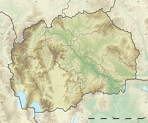
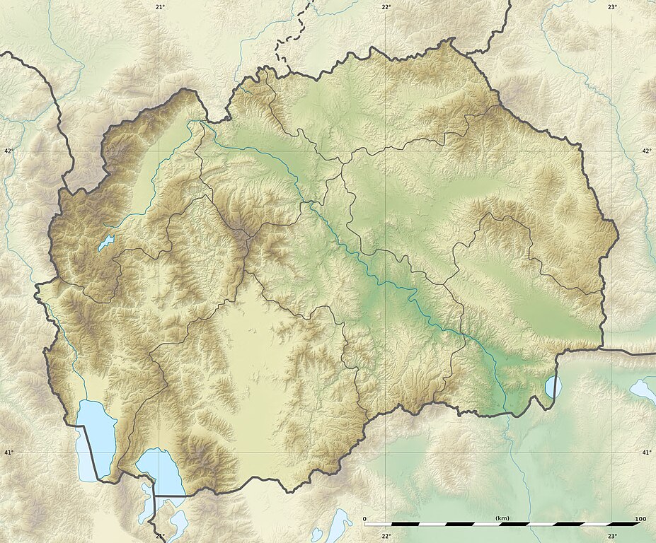
English: Blank physical map of the North Macedonia, for geo-location purpose.
Français : Carte physique vierge de la Macédoine du Nord, destinée à la géolocalisation. Equirectangular projection, WGS84 datum
Geographic limits of the map:
|
||
| Petsa | |||
| Gigikanan |
|
||
| Tagsulat | Eric Gaba (Sting - fr:Sting) and NordNordWest | ||
| Pagtugot (Paggamit pag-usab niini nga file) |
|
||
| Other versions |
Derivative works of this file:
|


|
This map has been made or improved in the German Kartenwerkstatt (Map Lab). You can propose maps to improve as well.
|
Pagtugot
I, the copyright holder of this work, hereby publish it under the following licenses:

|
Gitugot ang pagkopya, pag-apud-apod o/ug pag-usab ning maong dokumento ubos sa mga termino sa GNU Free Documentation License, Version 1.2 o mas bag-ong bersiyon nga gimantala sa Free Software Foundation; nga walay Invariant Sections, walay Front-Cover Texts, ug walay Back-Cover Texts. Ang kopya sa lisensiya gilakip sa bahin nga giulohang GNU Free Documentation License. |
This file is licensed under the Creative Commons Attribution-Share Alike 3.0 Unported license.
- Libre ka:
- sa pagsabwag – sa pagkopya, pag-apod-apod ug pagsabwag sa hinimo
- sa pag-remix – sa pag-adap sa binuhat
- Ubos sa mosunod nga mga kondisyon:
- atribusyon – Kinahanglan nimo nga hatagan ang angay nga kredito, maghatag usa ka link sa lisensya, ug ipakita kung adunay mga pagbag-o. Mahimo nimo kini buhaton sa bisan unsang makatarunganon nga paagi, apan dili sa bisan unsang paagi nga nagsugyot nga gi-endorso ka sa licensor o ang imong paggamit.
- share parehas – Kung imong gi-remix, gibag-o, o gibase sa materyal, kinahanglan nimo nga iapod-apod ang imong mga kontribusyon sa ilawom sa parehas o katugma nga lisensya sama sa orihinal.
You may select the license of your choice.
Kaagi sa payl
I-klik ang petsa/oras aron makit-an ang hulagway sa payl niadtong panahona.
| Petsa/Takna | Thumbnail | Mga dimensyon | Tiggamit | Komento | |
|---|---|---|---|---|---|
| kasamtangan | 15:09, 10 Hulyo 2010 | | 1,368 × 1,133 (332 KB) | Sting | == {{int:filedesc}} == {{Location|41|36|00|N|21|45|00|E|scale:1000000}} <br/> {{Information |Description={{en|Blank physical map of the Republic of Macedonia, for geo-location purpose.}} {{fr|Carte physique vierge de la [[:fr |
Mga paggamit sa payl
Ang mosunod nga mga panid misumpay niining payl:
Global nga paggamit sa payl
Kining ubang wiki naggamit ning maong payl:
- Paggamit sa als.wikipedia.org
- Paggamit sa ar.wikipedia.org
- Paggamit sa ast.wikipedia.org
- Paggamit sa az.wikipedia.org
- Şablon:Yer xəritəsi Şimali Makedoniya
- Pelister Milli Parkı
- Vodno
- Şar dağları
- Qolen Qrad
- Yakupisa
- Baba dağı (Şimali Makedoniya)
- Yablanitsa
- Kojuf
- Korab şəlaləsi
- Lyubotin dağı
- Stoqovo
- Plaçkovisa
- Boqovin gölü
- Smolar şəlaləsi
- Vrelo mağarası
- Peşna mağarası
- Pelisterin gözləri
- Kozyak SES
- Oxrid-Prespa qoruğu
- Doyran gölü
- Paggamit sa ban.wikipedia.org
- Paggamit sa ba.wikipedia.org
- Paggamit sa be-tarask.wikipedia.org
- Paggamit sa be.wikipedia.org
- Paggamit sa bg.wikipedia.org
View more global usage of this file.