
Payl:Tanzania relief location map.svg

Size of this PNG preview of this SVG file: 630 x 600 ka mga piksel. Uban pang mga resoluyon: 252 x 240 ka mga piksel | 504 x 480 ka mga piksel | 807 x 768 ka mga piksel | 1,076 x 1,024 ka mga piksel | 2,152 x 2,048 ka mga piksel | 3,302 x 3,143 ka mga piksel.
Tibuok resolusyon (SVG nga payl, nominally 3,302 × 3,143 pixels, size sa payl: 3.1 MB)
Mubong sugid:
| Deskripsyon |
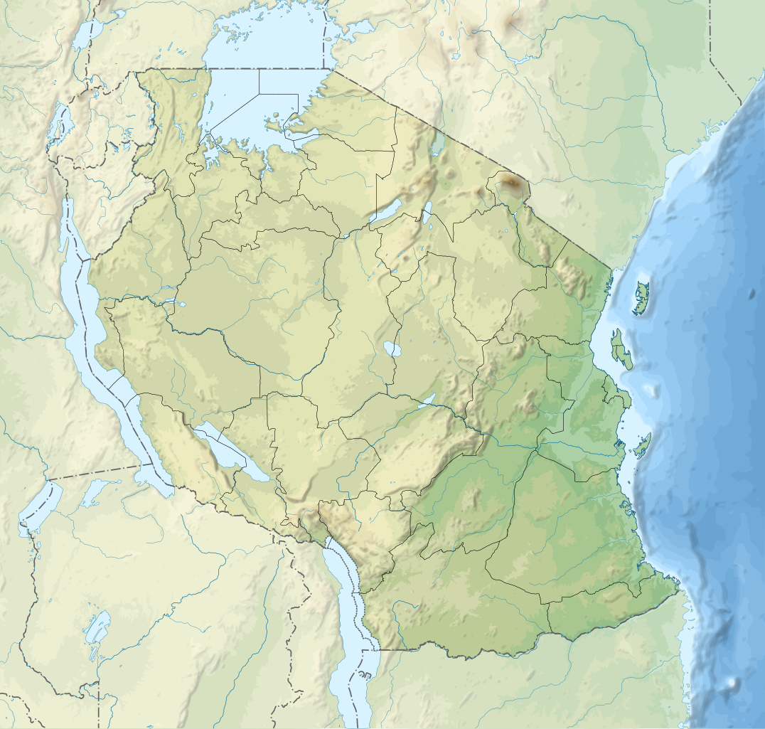
English: Relief location map of Tanzania.
Equirectangular projection. 1° N, 28° W, 42° E, -13° S. Center : -6.375, 35 Español: Mapa de georreferenciación de Tanzania. 1° N, 28° O, 42° E, -13° S. Centro : -6.375, 35
Français : Carte de géolocalisation du relief de la Tanzanie. Projection cylindrique équidistante. 1° N, 28° O, 42° E, -13° S. Centre : -6.375, 35 |
||
| Petsa | (UTC) | ||
| Gigikanan | Derived from Tanzania_map-fr.svg | ||
| Tagsulat | Sémhur | ||
| Other versions |
[]
| ||
| Attribution (required by the license) | © Sémhur / Wikimedia Commons / | ||
| SVG | W3C-validity not checked.
|
||
| Graphic Lab |


| Object location | | View this and other nearby images on: OpenStreetMap |
|---|
Pagtugot
I, the copyright holder of this work, hereby publish it under the following licenses:
| Copyleft: This work of art is free; you can redistribute it and/or modify it according to terms of the Free Art License. You will find a specimen of this license on the Copyleft Attitude site as well as on other sites. |
This file is licensed under the Creative Commons Attribution-Share Alike Attribution-Share Alike 4.0 International, 3.0 Unported, 2.5 Generic, 2.0 Generic and 1.0 Generic license.
- Libre ka:
- sa pagsabwag – sa pagkopya, pag-apod-apod ug pagsabwag sa hinimo
- sa pag-remix – sa pag-adap sa binuhat
- Ubos sa mosunod nga mga kondisyon:
- atribusyon – Kinahanglan nimo nga hatagan ang angay nga kredito, maghatag usa ka link sa lisensya, ug ipakita kung adunay mga pagbag-o. Mahimo nimo kini buhaton sa bisan unsang makatarunganon nga paagi, apan dili sa bisan unsang paagi nga nagsugyot nga gi-endorso ka sa licensor o ang imong paggamit.
- share parehas – Kung imong gi-remix, gibag-o, o gibase sa materyal, kinahanglan nimo nga iapod-apod ang imong mga kontribusyon sa ilawom sa parehas o katugma nga lisensya sama sa orihinal.
You may select the license of your choice.
Original upload log
This image is a derivative work of the following images:
- File:Tanzania_map-fr.svg licensed with Cc-by-sa-3.0,2.5,2.0,1.0, GFDL
- 2009-03-20T13:30:18Z Sémhur 3096x3113 (3225659 Bytes) Ol Doinyo Lengaï was misplaced
- 2009-03-20T11:14:35Z Sémhur 3096x3113 (3224368 Bytes) Add location map and few summits.
- 2009-03-19T17:14:13Z Sémhur 3096x3113 (3099209 Bytes) grrr...
- 2009-03-19T17:08:18Z Sémhur 3096x3113 (3099244 Bytes) Oups ! It wasn't the valid one.
- 2009-03-19T17:05:02Z Sémhur 3096x3113 (3122421 Bytes) {{Information |Description={{en|1=Map of [[:en:Tanzania]].}} {{fr|1=Carte de la [[:fr:Tanzanie]].}} {{es|1=Mapa de [[:es:Tanzania]].}} |Source=travail personnel (own work). Sources of data: * Elevations : NASA SRTM3 (public d
Uploaded with derivativeFX
Kaagi sa payl
I-klik ang petsa/oras aron makit-an ang hulagway sa payl niadtong panahona.
| Petsa/Takna | Thumbnail | Mga dimensyon | Tiggamit | Komento | |
|---|---|---|---|---|---|
| kasamtangan | 20:32, 3 Marso 2020 | | 3,302 × 3,143 (3.1 MB) | Sémhur | Modifying Tanzanian border claim (from https://www.nbs.go.tz/index.php/en/census-surveys/gis/385-2012-phc-shapefiles-level-one-and-two) |
| 20:18, 28 Hunyo 2017 |  | 3,302 × 3,143 (3.09 MB) | Sémhur | Update with Songwe region | |
| 14:11, 28 Disyembre 2013 |  | 3,096 × 2,947 (3.1 MB) | Sémhur | Updated with the four new regions | |
| 15:17, 3 Mayo 2009 |  | 3,096 × 2,947 (3.55 MB) | Sémhur | Adding border between Arusha and Manyara | |
| 18:58, 1 Mayo 2009 |  | 3,096 × 2,947 (3.54 MB) | Sémhur | {{int:summary}} {{Information |Description={{en|1=Relief location map of en:Tanzania.}} {{fr|1=Carte de géolocalisation du relief de la fr:Tanzanie.}} {{es|1=Mapa de georreferenciación de es:Tanzania.}} Equirectangular projection. 0.25� |
Mga paggamit sa payl
Ang mosunod nga 4 panid misumpay niining payl:
Global nga paggamit sa payl
Kining ubang wiki naggamit ning maong payl:
- Paggamit sa af.wikipedia.org
- Paggamit sa als.wikipedia.org
- Paggamit sa ar.wikipedia.org
- Paggamit sa ast.wikipedia.org
- Paggamit sa as.wikipedia.org
- Paggamit sa avk.wikipedia.org
- Paggamit sa av.wikipedia.org
- Paggamit sa azb.wikipedia.org
- Paggamit sa az.wikipedia.org
- Paggamit sa ban.wikipedia.org
- Paggamit sa ba.wikipedia.org
View more global usage of this file.