
Payl:Thuringia location map.svg

Size of this PNG preview of this SVG file: 764 x 599 ka mga piksel. Uban pang mga resoluyon: 306 x 240 ka mga piksel | 612 x 480 ka mga piksel | 979 x 768 ka mga piksel | 1,280 x 1,004 ka mga piksel | 2,560 x 2,009 ka mga piksel | 966 x 758 ka mga piksel.
Tibuok resolusyon (SVG nga payl, nominally 966 × 758 pixels, size sa payl: 161 KB)
Mubong sugid:
| Deskripsyon |
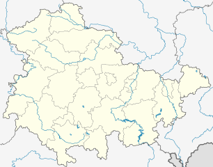
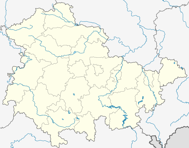
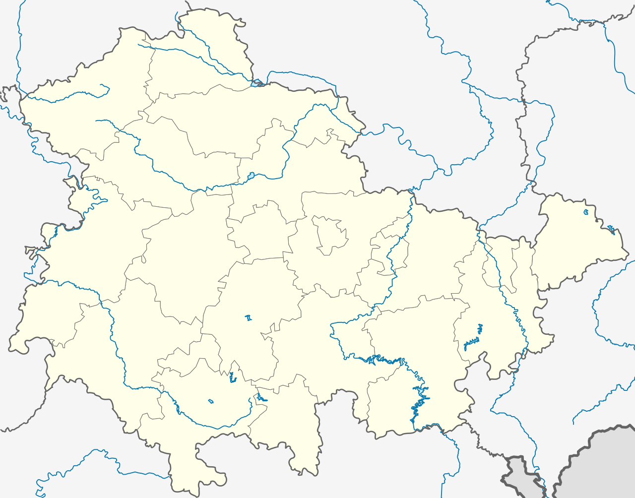
Deutsch: Positionskarte Thüringen, Deutschland. Geographische Begrenzung der Karte:
English: Location map Thuringia, Germany. Geographic limits of the map:
|
|||
| Petsa | ||||
| Gigikanan |
own work, templates were:
|
|||
| Tagsulat | TUBS | |||
| Other versions |
Derivative works of this file: Location map of the scope of the Rhein-Main-Verkehrsverbund.svg
|
|||
| SVG genesis | This map was created with Adobe Illustrator, and with Inkscape.
|


Pagtugot
I, the copyright holder of this work, hereby publish it under the following licenses:

|
Gitugot ang pagkopya, pag-apud-apod o/ug pag-usab ning maong dokumento ubos sa mga termino sa GNU Free Documentation License, Version 1.2 o mas bag-ong bersiyon nga gimantala sa Free Software Foundation; nga walay Invariant Sections, walay Front-Cover Texts, ug walay Back-Cover Texts. Ang kopya sa lisensiya gilakip sa bahin nga giulohang GNU Free Documentation License. |
This file is licensed under the Creative Commons Attribution-Share Alike 3.0 Unported, 2.5 Generic, 2.0 Generic and 1.0 Generic license.
- Libre ka:
- sa pagsabwag – sa pagkopya, pag-apod-apod ug pagsabwag sa hinimo
- sa pag-remix – sa pag-adap sa binuhat
- Ubos sa mosunod nga mga kondisyon:
- atribusyon – Kinahanglan nimo nga hatagan ang angay nga kredito, maghatag usa ka link sa lisensya, ug ipakita kung adunay mga pagbag-o. Mahimo nimo kini buhaton sa bisan unsang makatarunganon nga paagi, apan dili sa bisan unsang paagi nga nagsugyot nga gi-endorso ka sa licensor o ang imong paggamit.
- share parehas – Kung imong gi-remix, gibag-o, o gibase sa materyal, kinahanglan nimo nga iapod-apod ang imong mga kontribusyon sa ilawom sa parehas o katugma nga lisensya sama sa orihinal.
You may select the license of your choice.
Kaagi sa payl
I-klik ang petsa/oras aron makit-an ang hulagway sa payl niadtong panahona.
| Petsa/Takna | Thumbnail | Mga dimensyon | Tiggamit | Komento | |
|---|---|---|---|---|---|
| kasamtangan | 19:35, 31 Disyembre 2023 | | 966 × 758 (161 KB) | NordNordWest | upd |
| 11:10, 31 Disyembre 2022 |  | 966 × 758 (161 KB) | NordNordWest | upd | |
| 17:47, 30 Hunyo 2021 |  | 966 × 758 (161 KB) | NordNordWest | upd | |
| 12:08, 30 Disyembre 2018 |  | 966 × 758 (162 KB) | NordNordWest | upd 2019 | |
| 18:11, 11 Oktubre 2009 |  | 966 × 758 (642 KB) | Alexrk2 | Landesgrenze und vereinzelt Flussläufe korrigiert | |
| 00:44, 31 Enero 2009 |  | 966 × 758 (670 KB) | TUBS | Improved rivers outside thuringia | |
| 00:09, 29 Enero 2009 |  | 966 × 758 (732 KB) | TUBS | == Summary == {{Information |Description= {{de|Positionskarte Thüringen, Deutschland. Geographische Begrenzung der Karte:}} {{en|Location map Thuringia, Germany. Geographic limits of the map:}} * N: 50.xx° N * S: 4 | |
| 00:00, 29 Enero 2009 |  | 966 × 758 (732 KB) | TUBS | == Summary == {{Information |Description= {{de|Positionskarte Thüringen, Deutschland. Geographische Begrenzung der Karte:}} {{en|Location map Thuringia, Germany. Geographic limits of the map:}} * N: 50.xx° N * S: 4 | |
| 23:43, 28 Enero 2009 |  | 966 × 758 (734 KB) | TUBS | == Summary == {{Information |Description= {{de|Positionskarte Thüringen, Deutschland. Geographische Begrenzung der Karte:}} {{en|Location map Thuringia, Germany. Geographic limits of the map:}} * N: 50.xx° N * S: 4 |
Mga paggamit sa payl
Ang mosunod nga mga panid misumpay niining payl:
Global nga paggamit sa payl
Kining ubang wiki naggamit ning maong payl:
- Paggamit sa ar.wikipedia.org
- Paggamit sa azb.wikipedia.org
- Paggamit sa ba.wikipedia.org
- Абтсбессинген
- Айзенах
- Айзенберг (Тюрингия)
- Айнеборн
- Айнхаузен (Тюрингия)
- Айсфельд
- Айхенберг (Йена)
- Айхенберг (Хильдбургхаузен)
- Айхструт
- Аллендорф (Тюрингия)
- Альберсдорф (Тюрингия)
- Алькерслебен
- Альперштедт
- Альтенберга
- Альтенбойтен
- Альтенбург
- Альтенготтерн
- Альтенфельд
- Альтерсбах
- Альткирхен
- Альштедт
- Ангельрода
- Анденхаузен
- Андислебен
- Анроде
- Апольда
- Апфельштедт
- Аренсхаузен
- Арнсгеройт
- Арнштадт
- Артерн (Унструт)
- Асбах-Зикенберг
- Аспах (Тюрингия)
- Аулебен
- Аума
- Ауэнгрунд
- Ауэрштедт
- Ашенхаузен
- Бёлен (Тюрингия)
- Бёслебен-Вюллерслебен
- Бад-Берка
- Бад-Бланкенбург
- Бад-Зальцунген
- Бад-Зульца
View more global usage of this file.