
Payl:442x556-Carte-Région-Aquitaine-R.jpg
Walay mas taas nga resolusyon.
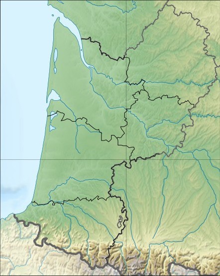
442x556-Carte-Région-Aquitaine-R.jpg (442 × 556 pixels, size sa payl: 69 KB, MIME type: image/jpeg)
| Deskripsyon | Carte Region Aquitaine relief | ||||
| Petsa | Wikisoft* @@@-fr 08:29, 30 October 2010 (UTC) | ||||
| Gigikanan | SRTM Découpage carte Image:France_relief_location_map.jpg Sting Wikisoft* @@@-fr 08:29, 30 October 2010 (UTC) | ||||
| Tagsulat | Wikisoft* @@@-fr 08:29, 30 October 2010 (UTC) | ||||
| Pagtugot (Paggamit pag-usab niini nga file) |
This file is licensed under the Creative Commons Attribution-Share Alike 1.0 Generic license.
|
||||
| Other versions | fr:Modèle:Géolocalisation/Aquitaine |

Kaagi sa payl
I-klik ang petsa/oras aron makit-an ang hulagway sa payl niadtong panahona.
| Petsa/Takna | Thumbnail | Mga dimensyon | Tiggamit | Komento | |
|---|---|---|---|---|---|
| kasamtangan | 08:29, 30 Oktubre 2010 | | 442 × 556 (69 KB) | Wikisoft* | {{Information |Description=Carte Region Aquitaine relief |Source=SRTM Découpage carte Image:France_relief_locatio_map.jpg Sting ~~~~ |Date=~~~~ |Author=~~~~ |Permission={{GFDL-GMT}}{{CC-BY-SA}} |other_versions=[[:fr:Modèle:Géolocalisation/Aqui |
Mga paggamit sa payl
Ang mosunod nga mga panid misumpay niining payl:
Global nga paggamit sa payl
Kining ubang wiki naggamit ning maong payl:
- Paggamit sa ar.wikipedia.org
- Paggamit sa bg.wikipedia.org
- Paggamit sa ce.wikipedia.org
- Paggamit sa cv.wikipedia.org
- Paggamit sa cy.wikipedia.org
- Paggamit sa de.wikipedia.org
- Paggamit sa el.wikipedia.org
- Paggamit sa en.wikipedia.org
- War of Saint-Sardos
- Battle of Auberoche
- Le Moustier
- Font-de-Gaume
- Grotte de Cussac
- Battle of Bergerac
- Fontéchevade
- Abri de la Madeleine
- Rouffignac Cave
- Raymonden
- Rochereil
- Les Combarelles
- User:Newm30/Draft2
- Laugerie-Basse
- La Ferrassie
- Module:Location map/data/France Aquitaine/doc
- Abri Pataud
- User:Michael!/Project:Location map templates/France
- Combe Grenal
- Marsoulas Cave
- Pair-non-Pair
- Cap Blanc rock shelter
- User:Gog the Mild/Misc
- Module:Location map/data/France Aquitaine
- Gascon campaign (1294–1303)
- Siege of Aiguillon
- Paggamit sa eo.wikipedia.org
- Paggamit sa es.wikipedia.org
- Paggamit sa fo.wikipedia.org
- Paggamit sa fr.wikipedia.org
- Paggamit sa gl.wikipedia.org
- Paggamit sa id.wikipedia.org
View more global usage of this file.