
Payl:Bahamas location map.svg

Size of this PNG preview of this SVG file: 800 x 577 ka mga piksel. Uban pang mga resoluyon: 320 x 231 ka mga piksel | 640 x 461 ka mga piksel | 1,024 x 738 ka mga piksel | 1,280 x 923 ka mga piksel | 2,560 x 1,846 ka mga piksel | 1,559 x 1,124 ka mga piksel.
Tibuok resolusyon (SVG nga payl, nominally 1,559 × 1,124 pixels, size sa payl: 383 KB)
Mubong sugid:

|
This map has been made or improved in the German Kartenwerkstatt (Map Lab). You can propose maps to improve as well.
|
Pagtugot
I, the copyright holder of this work, hereby publish it under the following licenses:

|
Gitugot ang pagkopya, pag-apud-apod o/ug pag-usab ning maong dokumento ubos sa mga termino sa GNU Free Documentation License, Version 1.2 o mas bag-ong bersiyon nga gimantala sa Free Software Foundation; nga walay Invariant Sections, walay Front-Cover Texts, ug walay Back-Cover Texts. Ang kopya sa lisensiya gilakip sa bahin nga giulohang GNU Free Documentation License. |
This file is licensed under the Creative Commons Attribution-Share Alike 3.0 Unported license.
- Libre ka:
- sa pagsabwag – sa pagkopya, pag-apod-apod ug pagsabwag sa hinimo
- sa pag-remix – sa pag-adap sa binuhat
- Ubos sa mosunod nga mga kondisyon:
- atribusyon – Kinahanglan nimo nga hatagan ang angay nga kredito, maghatag usa ka link sa lisensya, ug ipakita kung adunay mga pagbag-o. Mahimo nimo kini buhaton sa bisan unsang makatarunganon nga paagi, apan dili sa bisan unsang paagi nga nagsugyot nga gi-endorso ka sa licensor o ang imong paggamit.
- share parehas – Kung imong gi-remix, gibag-o, o gibase sa materyal, kinahanglan nimo nga iapod-apod ang imong mga kontribusyon sa ilawom sa parehas o katugma nga lisensya sama sa orihinal.
You may select the license of your choice.
Kaagi sa payl
I-klik ang petsa/oras aron makit-an ang hulagway sa payl niadtong panahona.
| Petsa/Takna | Thumbnail | Mga dimensyon | Tiggamit | Komento | |
|---|---|---|---|---|---|
| kasamtangan | 17:31, 15 Abril 2011 | | 1,559 × 1,124 (383 KB) | NordNordWest | upd |
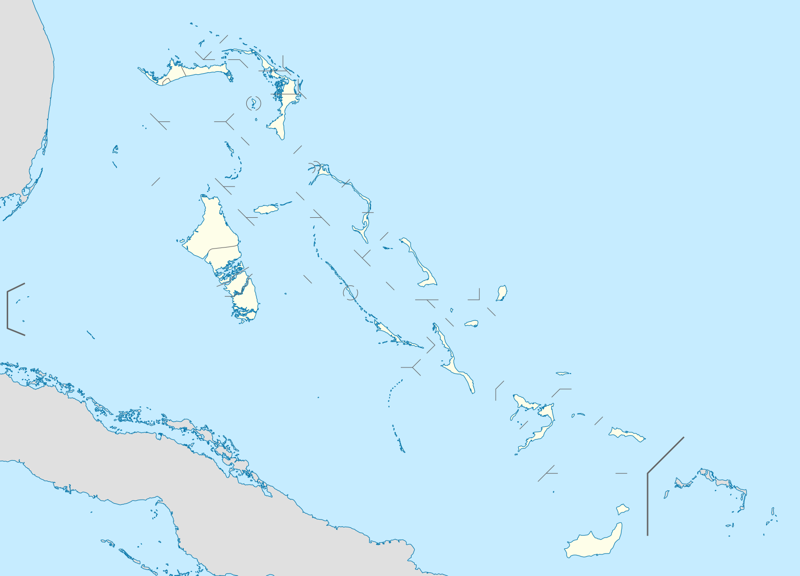
| 19:17, 23 Oktubre 2008 |  | 1,560 × 1,125 (549 KB) | NordNordWest | {{Information |Description= {{de|Positionskarte der Bahamas}} Quadratische Plattkarte, N-S-Streckung 105 %. Geographische Begrenzung der Karte: * N: 27.5° N * S: 20.7° N * W: 80.7° W * O: 70.8° W {{en|Location map of [[:en:The Bahamas| |
Mga paggamit sa payl
More than 100 pages use this file. The following list shows the first 100 pages that use this file only. A full list is available.
- Bahamas
- Bell Island
- Black Point
- Black Rock
- Cable Beach
- Castle Rock
- Cat Island
- Cave Point
- Centre Hill
- Channel Rock
- Channel Rocks
- Coconut Point
- Crooked Island
- Crown Point
- Datum Bay
- Deep Creek
- Devils Point
- Dog Rocks
- East Point
- East Rock
- Egg Island
- Entrance Point
- False Point
- Fish Point
- Goat Island
- Grassy Creek
- Harvey Bay
- Hawk Creek
- High Point
- High Rock
- Hog Point
- Hut Point
- Jacobs Island
- James Point
- Lake George
- Little Island
- Little Pimlico Island
- Lobster Island
- Long Bay
- Long Island
- Long Point
- Long Rock
- Low Point
- Low Rock
- Mangrove Island
- Mangrove Point
- Middle Ground
- Middle Point
- Mortimer Hill
- Mount Misery
- North Beach
- North Point
- North Rock
- North Rocks
- Old Fort Point
- Palmetto Point
- Pelican Creek
- Pelican Point
- Powell Point
- Queens Channel
- Rabbit Rock
- Rocky Point
- Rose Island
- Rose Rock
- Sail Rock
- San Salvador
- Sand Point
- Sandy Creek
- Sandy Point
- Scrubby Hill
- Shamrock Bay
- Signal Point
- South Beach
- South Head
- South Passage
- South Point
- Spring Point
- Start Point
- The Bluff
- The Brothers
- Thompson Bay
- Three Sisters
- Timber Creek
- Turtle Rock
- Twin Rocks
- Twins
- Victoria Point
- Wedge Point
- Wedge Rock
- West Bay
- West Cay
- West Point
- Whale Point
- White Cliff
- White Point
- White Rock
- Williams Island
- Wilson Point
- Wolf Rock
- Wood Hill
View more links to this file.
Global nga paggamit sa payl
Kining ubang wiki naggamit ning maong payl:
- Paggamit sa af.wikipedia.org
- Paggamit sa als.wikipedia.org
- Paggamit sa an.wikipedia.org
- Paggamit sa ar.wikipedia.org
- Paggamit sa ast.wikipedia.org
- Paggamit sa az.wikipedia.org
- Paggamit sa ba.wikipedia.org
- Paggamit sa be.wikipedia.org
- Paggamit sa bg.wikipedia.org
- Paggamit sa bn.wikipedia.org
- Paggamit sa bs.wikipedia.org
- Paggamit sa ce.wikipedia.org
- Paggamit sa ckb.wikipedia.org
- Paggamit sa cs.wikipedia.org
- Paggamit sa da.wikipedia.org
- Paggamit sa de.wikipedia.org
View more global usage of this file.