
Payl:Canal de Brienne.jpg
Gidak-on ning maong paunang tan-aw: 800 x 534 ka mga piksel. Uban pang mga resoluyon: 320 x 214 ka mga piksel | 640 x 427 ka mga piksel | 1,024 x 683 ka mga piksel | 1,280 x 854 ka mga piksel | 2,560 x 1,709 ka mga piksel | 7,360 x 4,912 ka mga piksel.
Tibuok resolusyon (7,360 × 4,912 pixels, size sa payl: 39.95 MB, MIME type: image/jpeg)
Mubong sugid:
|
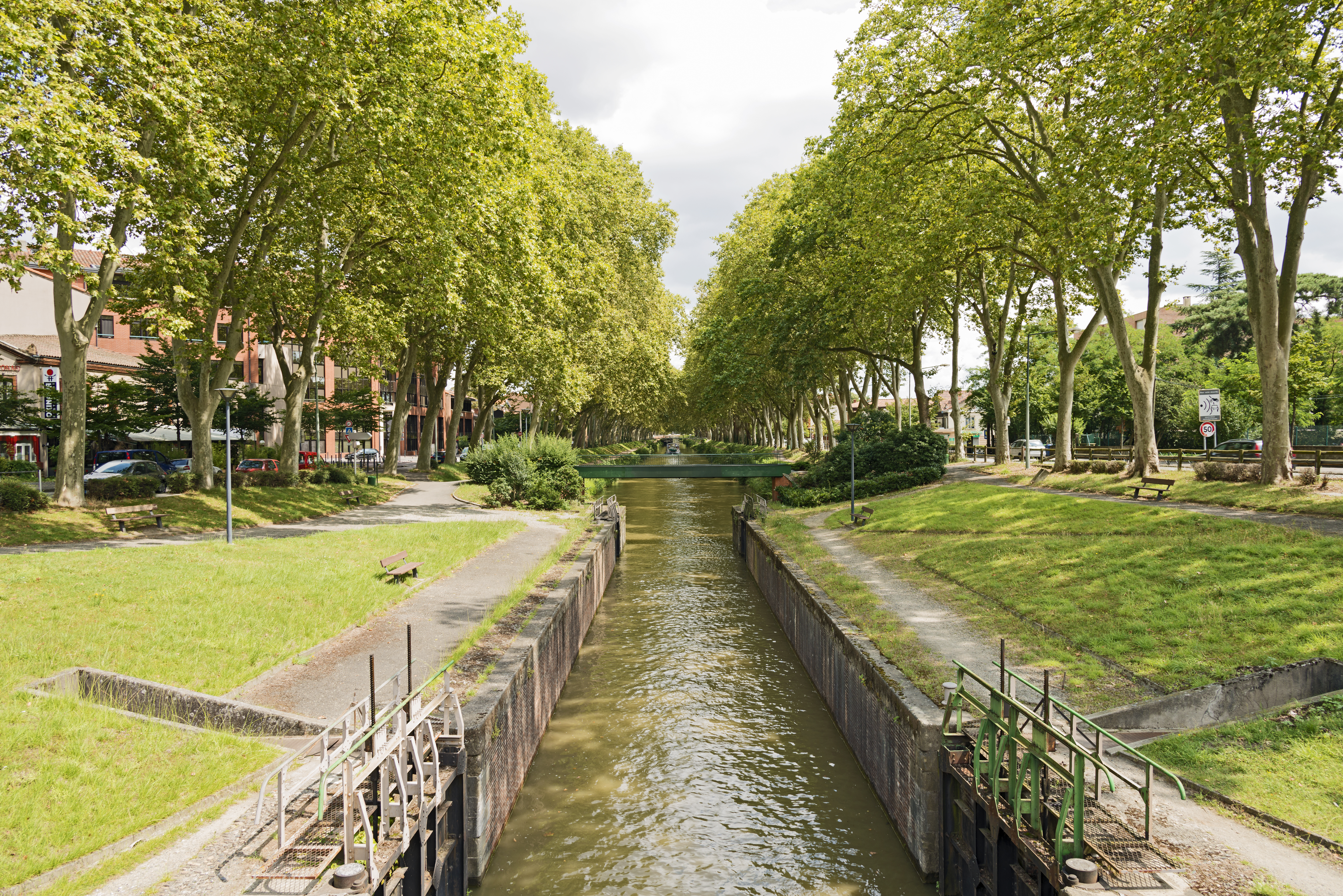
Canal de Brienne in Toulouse. South East exposure | |||||||||||||||||||
|
| |||||||||||||||||||


| Annotations | This image is annotated: View the annotations at Commons |

Kaagi sa payl
I-klik ang petsa/oras aron makit-an ang hulagway sa payl niadtong panahona.
| Petsa/Takna | Thumbnail | Mga dimensyon | Tiggamit | Komento | |
|---|---|---|---|---|---|
| kasamtangan | 09:45, 15 Agosto 2014 | | 7,360 × 4,912 (39.95 MB) | Archaeodontosaurus | {{Information |Description ={{en|1=c}} |Source ={{own}} |Author =Archaeodontosaurus |Date = |Permission = |other_versions = }} |
Mga paggamit sa payl
Ang mosunod nga mga panid misumpay niining payl:
Global nga paggamit sa payl
Kining ubang wiki naggamit ning maong payl:
- Paggamit sa arz.wikipedia.org
- Paggamit sa ca.wikipedia.org
- Paggamit sa en.wikipedia.org
- Paggamit sa es.wikipedia.org
- Paggamit sa eu.wikipedia.org
- Paggamit sa fi.wikipedia.org
- Paggamit sa fr.wikipedia.org
- Paggamit sa fr.wikivoyage.org
- Paggamit sa he.wikivoyage.org
- Paggamit sa hu.wikipedia.org
- Paggamit sa it.wikivoyage.org
- Paggamit sa ja.wikivoyage.org
- Paggamit sa oc.wikipedia.org
- Paggamit sa sd.wikipedia.org
- Paggamit sa www.wikidata.org