
Payl:Corythornis cristatus 3.jpg

Gidak-on ning maong paunang tan-aw: 449 x 599 ka mga piksel. Uban pang mga resoluyon: 180 x 240 ka mga piksel | 360 x 480 ka mga piksel | 576 x 768 ka mga piksel | 767 x 1,024 ka mga piksel | 1,338 x 1,785 ka mga piksel.
Tibuok resolusyon (1,338 × 1,785 pixels, size sa payl: 548 KB, MIME type: image/jpeg)
Mubong sugid:
| Deskripsyon |
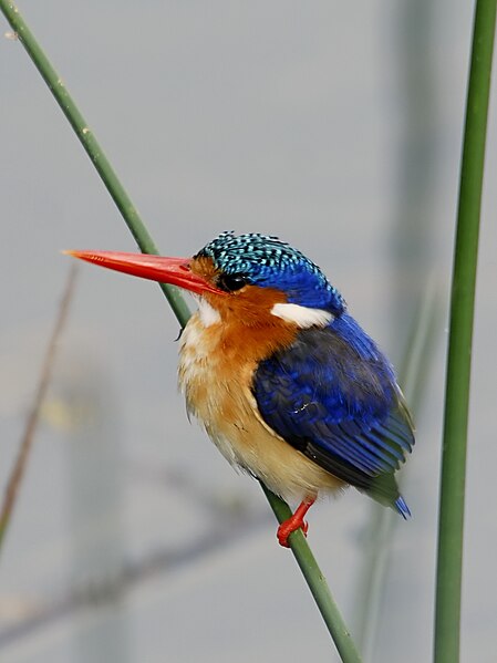
Corythornis cristatus (Pallas, 1764) Afrikaans: Kuifkopvisvanger naby die Kafuerivier, naby Kafue, Zambië
English: Malachite Kingfisher close to the Kafue River near Kafue, Zambia |
| Petsa | |
| Gigikanan | Kaugalingong trabaho |
| Tagsulat | Hans Hillewaert |
| Pagtugot (Paggamit pag-usab niini nga file) |
I, the copyright holder of this work, hereby publish it under the following license: This file is licensed under the Creative Commons Attribution-Share Alike 3.0 Unported license.
|
| Other versions |
 |
| Other licenses | More (4100+) and new images on : High resolution files on request. . |
| Attribution (required by the license) | © Hans Hillewaert / |
| Camera location | | View this and other nearby images on: OpenStreetMap |
|---|
Kaagi sa payl
I-klik ang petsa/oras aron makit-an ang hulagway sa payl niadtong panahona.
| Petsa/Takna | Thumbnail | Mga dimensyon | Tiggamit | Komento | |
|---|---|---|---|---|---|
| kasamtangan | 05:58, 1 Septiyembre 2010 | | 1,338 × 1,785 (548 KB) | Lycaon | {{location|15|49|12.13|S|28|12|12.56|E}} {{Information |Description= ''Alcedo cristata'' <small>(Pallas, 1764)</small> {{en|Malachite Kingfisher close to the Kafue river near Kafue, Zambia}} |Source= {{own}} |Date= 2010-08-11 |Author= [[User:Lycaon|H |
Mga paggamit sa payl
Ang mosunod nga mga panid misumpay niining payl:
Global nga paggamit sa payl
Kining ubang wiki naggamit ning maong payl:
- Paggamit sa vi.wikipedia.org