
Payl:Eswatini location map.svg

Size of this PNG preview of this SVG file: 488 x 599 ka mga piksel. Uban pang mga resoluyon: 195 x 240 ka mga piksel | 391 x 480 ka mga piksel | 625 x 768 ka mga piksel | 833 x 1,024 ka mga piksel | 1,667 x 2,048 ka mga piksel | 604 x 742 ka mga piksel.
Tibuok resolusyon (SVG nga payl, nominally 604 × 742 pixels, size sa payl: 71 KB)
Mubong sugid:
| Deskripsyon |
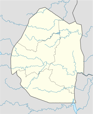
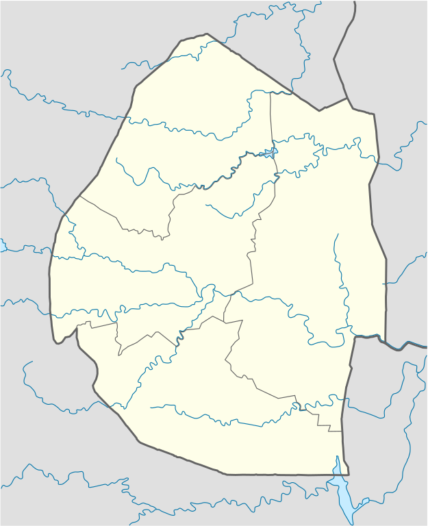
Deutsch: Positionskarte von Eswatini
Quadratische Plattkarte, N-S-Streckung 110 %. Geographische Begrenzung der Karte:
English: Location map of Eswatini
Equirectangular projection, N/S stretching 110 %. Geographic limits of the map:
|
| Petsa | |
| Gigikanan | own work, using United States National Imagery and Mapping Agency data |
| Tagsulat | NordNordWest |
| Other versions |
Derivative work: |

|
This map has been made or improved in the German Kartenwerkstatt (Map Lab). You can propose maps to improve as well.
|
Pagtugot
I, the copyright holder of this work, hereby publish it under the following licenses:

|
Gitugot ang pagkopya, pag-apud-apod o/ug pag-usab ning maong dokumento ubos sa mga termino sa GNU Free Documentation License, Version 1.2 o mas bag-ong bersiyon nga gimantala sa Free Software Foundation; nga walay Invariant Sections, walay Front-Cover Texts, ug walay Back-Cover Texts. Ang kopya sa lisensiya gilakip sa bahin nga giulohang GNU Free Documentation License. |
This file is licensed under the Creative Commons Attribution 3.0 Unported license.
- Libre ka:
- sa pagsabwag – sa pagkopya, pag-apod-apod ug pagsabwag sa hinimo
- sa pag-remix – sa pag-adap sa binuhat
- Ubos sa mosunod nga mga kondisyon:
- atribusyon – Kinahanglan nimo nga hatagan ang angay nga kredito, maghatag usa ka link sa lisensya, ug ipakita kung adunay mga pagbag-o. Mahimo nimo kini buhaton sa bisan unsang makatarunganon nga paagi, apan dili sa bisan unsang paagi nga nagsugyot nga gi-endorso ka sa licensor o ang imong paggamit.
You may select the license of your choice.
Kaagi sa payl
I-klik ang petsa/oras aron makit-an ang hulagway sa payl niadtong panahona.
| Petsa/Takna | Thumbnail | Mga dimensyon | Tiggamit | Komento | |
|---|---|---|---|---|---|
| kasamtangan | 12:40, 25 Pebrero 2009 | | 604 × 742 (71 KB) | NordNordWest | {{Information |Description= {{de|Positionskarte von Swasiland}} Quadratische Plattkarte, N-S-Streckung 110 %. Geographische Begrenzung der Karte: * N: 25.6° S * S: 27.5° S * W: 30.6° O * O: 32.3° O {{en|Location map of [[:en:Swazilan |
Mga paggamit sa payl
There are no pages that use this file.
Global nga paggamit sa payl
Kining ubang wiki naggamit ning maong payl:
- Paggamit sa af.wikipedia.org
- Paggamit sa am.wikipedia.org
- Paggamit sa ar.wikipedia.org
- Paggamit sa az.wikipedia.org
- Paggamit sa be-tarask.wikipedia.org
- Paggamit sa be.wikipedia.org
- Paggamit sa bg.wikipedia.org
- Paggamit sa bn.wikipedia.org
- Paggamit sa bs.wikipedia.org
- Paggamit sa ce.wikipedia.org
- Paggamit sa ckb.wikipedia.org
- Paggamit sa cs.wikipedia.org
- Paggamit sa da.wikipedia.org
- Paggamit sa de.wikipedia.org
- Paggamit sa de.wikivoyage.org
- Paggamit sa el.wikipedia.org
- Paggamit sa eo.wikipedia.org
- Paggamit sa es.wikipedia.org
- Paggamit sa eu.wikipedia.org
- Paggamit sa fa.wikipedia.org
- Paggamit sa fi.wikipedia.org
- Paggamit sa fr.wikipedia.org
View more global usage of this file.