
Payl:Flintshire UK location map.svg

Size of this PNG preview of this SVG file: 541 x 600 ka mga piksel. Uban pang mga resoluyon: 216 x 240 ka mga piksel | 433 x 480 ka mga piksel | 693 x 768 ka mga piksel | 924 x 1,024 ka mga piksel | 1,847 x 2,048 ka mga piksel | 1,177 x 1,305 ka mga piksel.
Tibuok resolusyon (SVG nga payl, nominally 1,177 × 1,305 pixels, size sa payl: 758 KB)
| Deskripsyon |
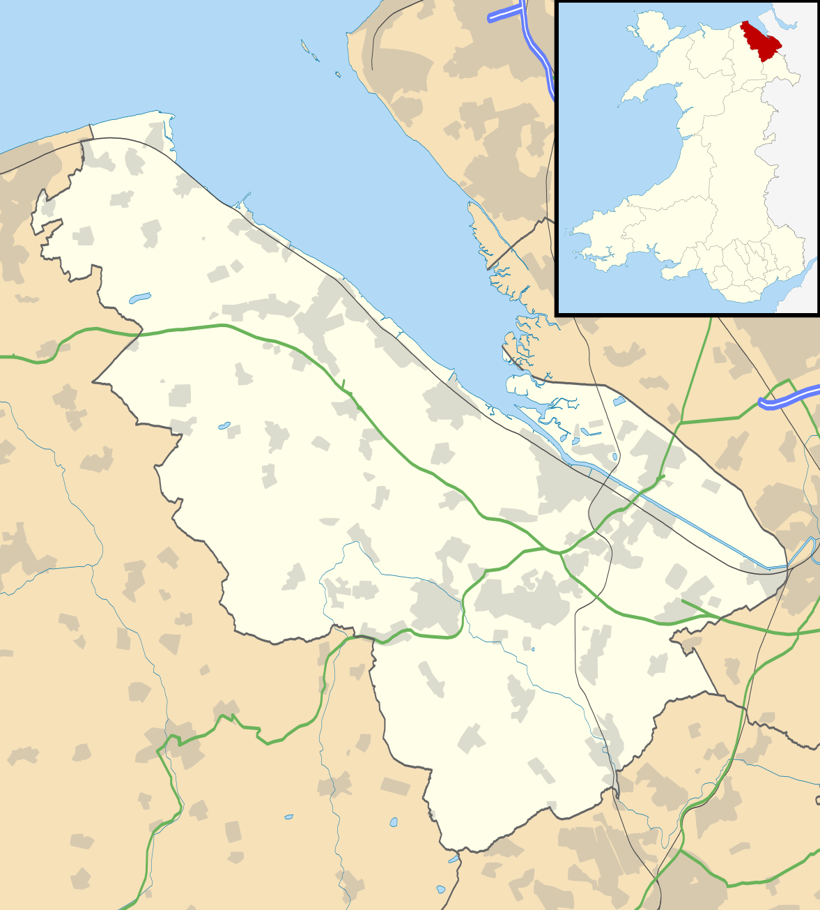
Blank map of Flintshire, UK with the following information shown:
Equirectangular map projection on WGS 84 datum, with N/S stretched 165% Geographic limits:
|
| Petsa | |
| Gigikanan |
|
| Tagsulat | Nilfanion, created using Ordnance Survey data |
| Pagtugot (Paggamit pag-usab niini nga file) |
This file is licensed under the Creative Commons Attribution-Share Alike 3.0 Unported license. Attribution: Contains Ordnance Survey data © Crown copyright and database right
|
| Other versions | File:Flintshire UK map.svg - Blank map |
Kaagi sa payl
I-klik ang petsa/oras aron makit-an ang hulagway sa payl niadtong panahona.
| Petsa/Takna | Thumbnail | Mga dimensyon | Tiggamit | Komento | |
|---|---|---|---|---|---|
| kasamtangan | 19:33, 26 Septiyembre 2010 | | 1,177 × 1,305 (758 KB) | Nilfanion | {{Information |Description=Blank map of Flintshire, UK with the following information shown: *Administrative borders *Coastline, lakes and rivers *Roads and railways *Urban areas Equirectangular map projection on WGS 84 datum, with N/S s |
Mga paggamit sa payl
Ang mosunod nga mga panid misumpay niining payl:
Global nga paggamit sa payl
Kining ubang wiki naggamit ning maong payl:
- Paggamit sa ar.wikipedia.org
- Paggamit sa cy.wikipedia.org
- Paggamit sa da.wikipedia.org
- Paggamit sa en.wikipedia.org
- List of monastic houses in Wales
- Hawarden
- Flintshire
- Flint, Flintshire
- Buckley, Flintshire
- Holywell, Flintshire
- Mold, Flintshire
- Queensferry, Flintshire
- Mostyn
- Shotton, Flintshire
- Point of Ayr
- Caergwrle
- Ewloe
- Northop Hall
- Talacre
- Caerwys
- Abermorddu
- Afonwen
- Mynydd Isa
- Sealand, Flintshire
- Bagillt
- Ogof Hesp Alyn
- Ogof Hen Ffynhonnau
- Pentre Halkyn
- Moel-y-Parc transmitting station
- Northop
- Broughton, Flintshire
- Sychdyn
- Dee Estuary
- Penyffordd
- Higher Kinnerton
- Hope, Flintshire
- Leeswood
- Treuddyn
- Nannerch
- Mancot
- Hawarden Airport
- Cilcain
- Rhosesmor
- Halkyn
- Aston Park, Flintshire
- Babell
- Gwernymynydd
- Pantymwyn
- Brynford
- Ysceifiog
- Deeside Community Hospital
View more global usage of this file.