
Payl:Franklin east of Courthouse(CLight).jpg
Gidak-on ning maong paunang tan-aw: 800 x 600 ka mga piksel. Uban pang mga resoluyon: 320 x 240 ka mga piksel | 640 x 480 ka mga piksel | 1,024 x 768 ka mga piksel | 1,280 x 960 ka mga piksel | 2,560 x 1,920 ka mga piksel | 3,072 x 2,304 ka mga piksel.
Tibuok resolusyon (3,072 × 2,304 pixels, size sa payl: 1.15 MB, MIME type: image/jpeg)
.jpg)
Mubong sugid:
|
This is an image of a place or building that is listed on the National Register of Historic Places in the United States of America. Its reference number is 90000327. |

|
This file was moved to Wikimedia Commons from en.wikipedia using a bot script. All source information is still present. It requires review. Additionally, there may be errors in any or all of the information fields; information on this file should not be considered reliable and the file should not be used until it has been reviewed and any needed corrections have been made. Once the review has been completed, this template should be removed. For details about this file, see below. Check now! |
.jpg&action=edit&withJS=MediaWiki:Botcheck.js)
| Deskripsyon |
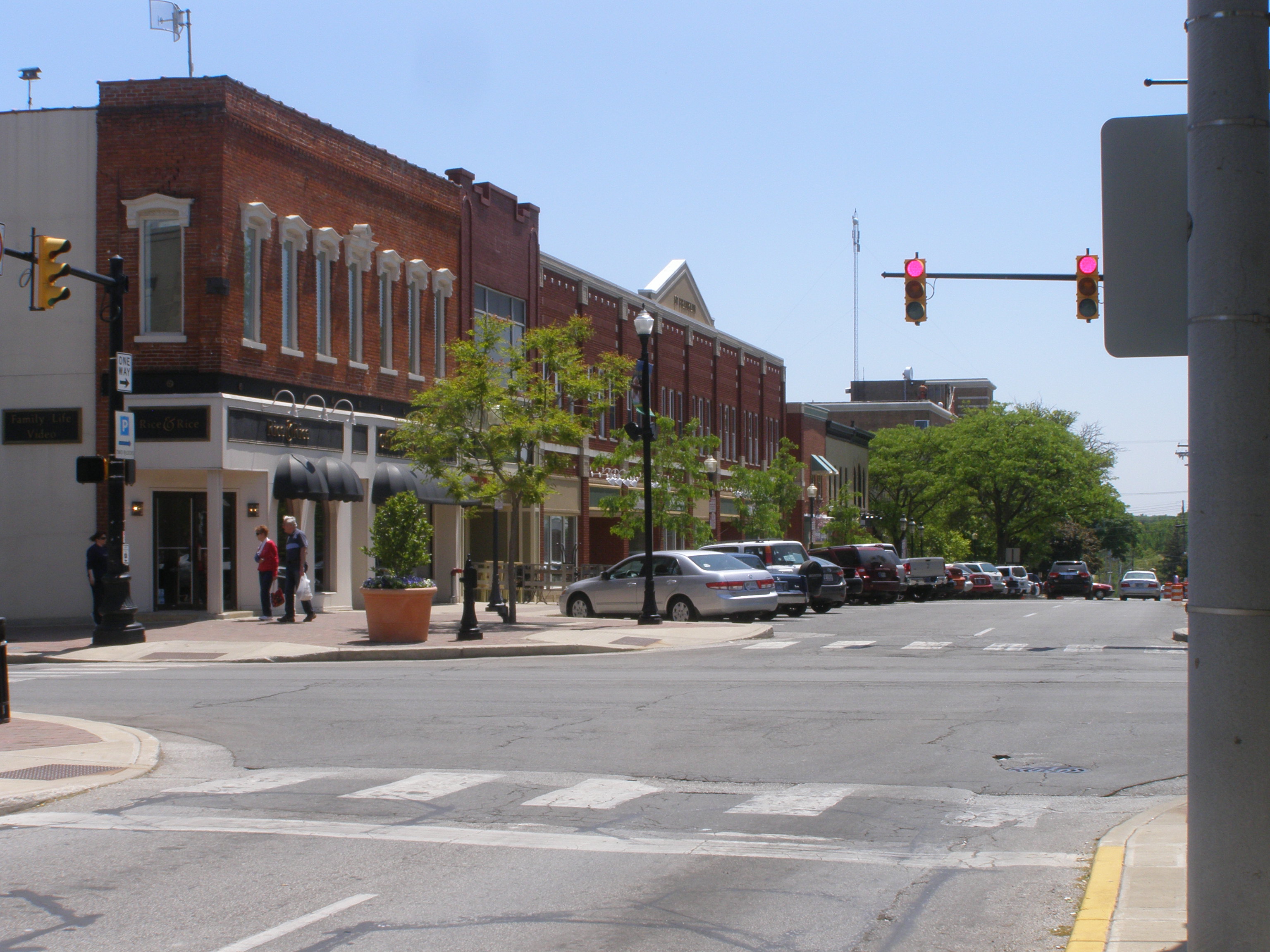
English: Franklin Ave, east of Courthouse Square |
| Petsa | |
| Gigikanan | Kaugalingong trabaho (Original text: I created this work entirely by myself.) |
| Tagsulat | Chris Light (talk) |
| Object location | | View this and other nearby images on: OpenStreetMap |
|---|
.jpg¶ms=041.467500_N_-087.060000_E_globe:Earth_class:object_region:US_type:landmark_scale:1500_&language=ceb)
Pagtugot
Chris Light at English Wikipedya, the copyright holder of this work, hereby publishes it under the following licenses:
This file is licensed under the Creative Commons Attribution-Share Alike 3.0 Unported license.
Attribution: Chris Light at English Wikipedya
- Libre ka:
- sa pagsabwag – sa pagkopya, pag-apod-apod ug pagsabwag sa hinimo
- sa pag-remix – sa pag-adap sa binuhat
- Ubos sa mosunod nga mga kondisyon:
- atribusyon – Kinahanglan nimo nga hatagan ang angay nga kredito, maghatag usa ka link sa lisensya, ug ipakita kung adunay mga pagbag-o. Mahimo nimo kini buhaton sa bisan unsang makatarunganon nga paagi, apan dili sa bisan unsang paagi nga nagsugyot nga gi-endorso ka sa licensor o ang imong paggamit.
- share parehas – Kung imong gi-remix, gibag-o, o gibase sa materyal, kinahanglan nimo nga iapod-apod ang imong mga kontribusyon sa ilawom sa parehas o katugma nga lisensya sama sa orihinal.

|
Gitugot ang pagkopya, pag-apud-apod o/ug pag-usab ning maong dokumento ubos sa mga termino sa GNU Free Documentation License, Version 1.2 o mas bag-ong bersiyon nga gimantala sa Free Software Foundation; nga walay Invariant Sections, walay Front-Cover Texts, ug walay Back-Cover Texts. Ang kopya sa lisensiya gilakip sa bahin nga giulohang GNU Free Documentation License. |
You may select the license of your choice.
Original upload log
Transferred from en.wikipedia to Commons by Sreejithk2000 using CommonsHelper.
The original description page was here. All following user names refer to en.wikipedia.
- 2008-07-09 19:08 Chris Light 1984×1488× (652342 bytes) {{Information |Description=Franklin Ave, east of Courthouse Square |Source=I created this work entirely by myself. |Date=April 10, 2005 |Author=~~~ |other_versions= }}
Kaagi sa payl
I-klik ang petsa/oras aron makit-an ang hulagway sa payl niadtong panahona.
| Petsa/Takna | Thumbnail | Mga dimensyon | Tiggamit | Komento | |
|---|---|---|---|---|---|
| kasamtangan | 14:11, 24 Oktubre 2018 | | 3,072 × 2,304 (1.15 MB) | Chris Light | Higher Resolution |
| 08:49, 4 Hunyo 2010 |  | 1,984 × 1,488 (637 KB) | File Upload Bot (Magnus Manske) | {{BotMoveToCommons|en.wikipedia|year={{subst:CURRENTYEAR}}|month={{subst:CURRENTMONTHNAME}}|day={{subst:CURRENTDAY}}}} {{Information |Description={{en|Franklin Ave, east of Courthouse Square<br/> == Licensing: == [[:en:category:Images of Valparaiso, Ind |
Mga paggamit sa payl
Ang mosunod nga mga panid misumpay niining payl:
Global nga paggamit sa payl
Kining ubang wiki naggamit ning maong payl:
- Paggamit sa ar.wikipedia.org
- Paggamit sa arz.wikipedia.org
- Paggamit sa ca.wikipedia.org
- Paggamit sa ce.wikipedia.org
- Paggamit sa cy.wikipedia.org
- Paggamit sa dag.wikipedia.org
- Paggamit sa de.wikipedia.org
- Paggamit sa en.wikipedia.org
- Paggamit sa en.wikivoyage.org
- Paggamit sa es.wikipedia.org
- Paggamit sa eu.wikipedia.org
- Paggamit sa fr.wikipedia.org
- Paggamit sa ht.wikipedia.org
- Paggamit sa hu.wikipedia.org
- Paggamit sa ko.wikipedia.org
- Paggamit sa lld.wikipedia.org
- Paggamit sa no.wikipedia.org
- Paggamit sa pl.wikipedia.org
- Paggamit sa pt.wikipedia.org
- Paggamit sa sq.wikipedia.org
- Paggamit sa sr.wikipedia.org
- Paggamit sa sv.wikipedia.org
- Paggamit sa tt.wikipedia.org
- Paggamit sa ur.wikipedia.org
- Paggamit sa uz.wikipedia.org
- Paggamit sa vi.wikipedia.org
- Paggamit sa vo.wikipedia.org
- Paggamit sa www.wikidata.org
- Paggamit sa zh.wikipedia.org
.jpg)