
Payl:GAEA Guides - Guided Kayak Nature Tours paddling on Estero Bay.jpg
Gidak-on ning maong paunang tan-aw: 800 x 600 ka mga piksel. Uban pang mga resoluyon: 320 x 240 ka mga piksel | 640 x 480 ka mga piksel | 1,024 x 768 ka mga piksel | 1,280 x 960 ka mga piksel.
Tibuok resolusyon (1,280 × 960 pixels, size sa payl: 321 KB, MIME type: image/jpeg)
Mubong sugid:
| Deskripsyon |
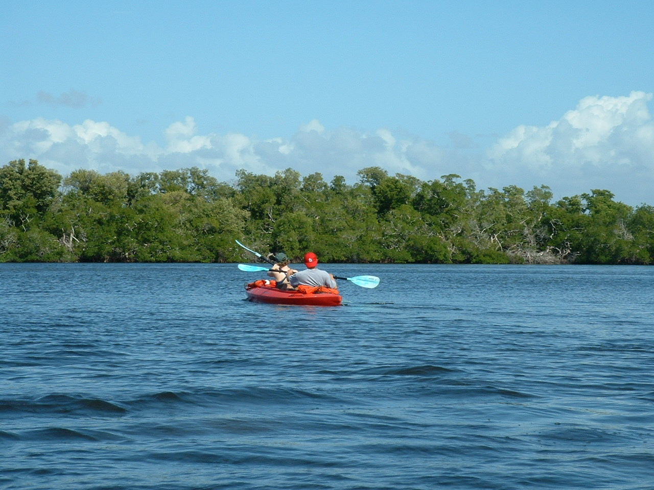
English: Kayaking with our guide to show us the wonders of Estero Bay near Fort Myers Beach, Florida |
| Petsa | 5/17/10 |
| Gigikanan | Kaugalingong trabaho |
| Tagsulat | Sharon23b |
| Camera location | | View this and other nearby images on: OpenStreetMap |
|---|
Pagtugot
| I, the copyright holder of this work, release this work into the public domain. This applies worldwide. In some countries this may not be legally possible; if so: I grant anyone the right to use this work for any purpose, without any conditions, unless such conditions are required by law. |
Kaagi sa payl
I-klik ang petsa/oras aron makit-an ang hulagway sa payl niadtong panahona.
| Petsa/Takna | Thumbnail | Mga dimensyon | Tiggamit | Komento | |
|---|---|---|---|---|---|
| kasamtangan | 18:10, 23 Hunyo 2010 | | 1,280 × 960 (321 KB) | Sharon23b | {{Information |Description={{en|1=Kayaking with our guide to show us the wonders of Estero Bay near Fort Myers Beach, Florida}} |Source={{own}} |Author=Sharon23b |Date=5/17/10 |Permission= |other_versions= }} Location|26|23&#x |
Mga paggamit sa payl
Ang mosunod nga mga panid misumpay niining payl:
Global nga paggamit sa payl
Kining ubang wiki naggamit ning maong payl:
- Paggamit sa en.wikipedia.org
- Paggamit sa www.wikidata.org