
Payl:German Empire 1937 adm location map.svg

Tibuok resolusyon (SVG nga payl, nominally 1,425 × 1,133 pixels, size sa payl: 763 KB)
Mubong sugid:
| Deskripsyon |
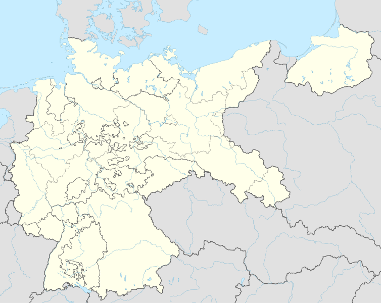
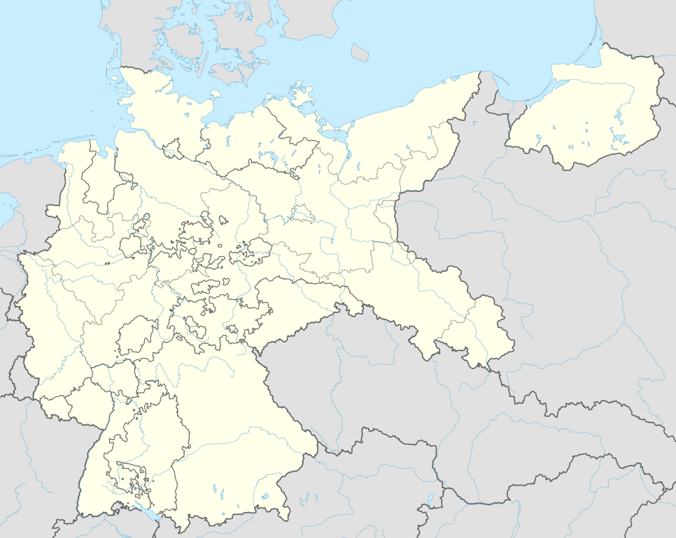
Deutsch: Positionskarte für das Deutsche Reich, 1937
English: Location map of the German Reich (Germany), 1937
|
||||||||||||
| Petsa | |||||||||||||
| Gigikanan |
Own work using:
|
||||||||||||
| Tagsulat | NordNordWest | ||||||||||||

|
This map has been made or improved in the German Kartenwerkstatt (Map Lab). You can propose maps to improve as well.
|
Pagtugot
Usage of this file with:

explanatory notes: Legally binding is only the full legalcode. For a free usage I recommend to respect the following licence conditions:
1. Provide my name as given above: NordNordWest,
2. a copy of, or the URI for, the applicable license: https://creativecommons.org/licenses/by-sa/3.0/de/legalcode,
3. the title of the work,
4. in the case of an adaptation, a credit identifying the use of the work in the adaptation.
This license and the rights granted hereunder will terminate automatically upon any breach by you of the terms of this license. Any of the above conditions can be waived if you get permission from the copyright holder. If you have questions or wish differing conditions, please contact me through nnwest or my discussion page ![]() t-online.de
t-online.de
- Libre ka:
- sa pagsabwag – sa pagkopya, pag-apod-apod ug pagsabwag sa hinimo
- sa pag-remix – sa pag-adap sa binuhat
- Ubos sa mosunod nga mga kondisyon:
- atribusyon – Kinahanglan nimo nga hatagan ang angay nga kredito, maghatag usa ka link sa lisensya, ug ipakita kung adunay mga pagbag-o. Mahimo nimo kini buhaton sa bisan unsang makatarunganon nga paagi, apan dili sa bisan unsang paagi nga nagsugyot nga gi-endorso ka sa licensor o ang imong paggamit.
- share parehas – Kung imong gi-remix, gibag-o, o gibase sa materyal, kinahanglan nimo nga iapod-apod ang imong mga kontribusyon sa ilawom sa parehas o katugma nga lisensya sama sa orihinal.

Kaagi sa payl
I-klik ang petsa/oras aron makit-an ang hulagway sa payl niadtong panahona.
| Petsa/Takna | Thumbnail | Mga dimensyon | Tiggamit | Komento | |
|---|---|---|---|---|---|
| kasamtangan | 18:01, 15 Hunyo 2015 | | 1,425 × 1,133 (763 KB) | NordNordWest | c |
| 21:36, 13 Hunyo 2015 |  | 1,425 × 1,133 (763 KB) | NordNordWest | == {{int:filedesc}} == {{Information |Description= {{de|1=Positionskarte für das Deutsche Reich 1937}} {{en|1=Location map of the German Empire 1937}} {{Location map series N |stretching=160 |top=56.0 |bottom=47.2 |left=5.5 |right=23.2 }} |Source={{Ow... |
Mga paggamit sa payl
Ang mosunod nga mga panid misumpay niining payl:
Global nga paggamit sa payl
Kining ubang wiki naggamit ning maong payl:
- Paggamit sa ar.wikipedia.org
- Paggamit sa az.wikipedia.org
- Paggamit sa ba.wikipedia.org
- Paggamit sa ca.wikipedia.org
- Paggamit sa da.wikipedia.org
- Paggamit sa de.wikipedia.org
- Harburg-Wilhelmsburg
- Tannenberg-Denkmal
- Reichs-Rundfunk-Gesellschaft
- Benutzer Diskussion:Spischot
- Wikipedia:Kartenwerkstatt/Positionskarten/Europa
- Geschichte des Hörfunks in Deutschland
- Vorlage:Positionskarte Deutsches Reich
- Benutzer:Scialfa/Muna
- Benutzer:Joellewi/Standorte in Deutschland
- Wikipedia:Kartenwerkstatt/Archiv/2016-09
- Wikipedia Diskussion:Kartenwerkstatt/Archiv7
- Benutzer Diskussion:Markus Schulenburg/Infobox historischer Landkreis
- Paggamit sa en.wikipedia.org
- Bergen-Belsen concentration camp
- Gleiwitz incident
- Dachau concentration camp
- Mittelbau-Dora concentration camp
- Nazi concentration camps
- Wolf's Lair
- Marlag und Milag Nord
- Stalag Luft III
- Stalag II-B
- Stalag Luft 7
- Oflag VII-A Murnau
- Oflag IV-B Königstein
- Stalag III-C
- Stalag Luft IV
- Oflag II-D
- 4th Panzer Army
- Oflag XIII-B
- Stalag VI-B
- Stalag III-A
- Stalags XI-B, XI-D, and 357
- Stalag IX-B
- Stalag VIII-A
- Stalag IV-G
- Mittelwerk
- Battle of Bautzen (1945)
- Friesack Camp
- Stalag VIII-B
- Task Force Baum
- Stalag IV-B
- Oflag VI-B
- Oflag IX-C
View more global usage of this file.