
Payl:Gyulagarak.jpg
Gidak-on ning maong paunang tan-aw: 800 x 282 ka mga piksel. Uban pang mga resoluyon: 320 x 113 ka mga piksel | 640 x 225 ka mga piksel | 1,024 x 360 ka mga piksel | 2,744 x 966 ka mga piksel.
Tibuok resolusyon (2,744 × 966 pixels, size sa payl: 752 KB, MIME type: image/jpeg)
Mubong sugid:
| Deskripsyon | |
| Petsa | |
| Gigikanan | Kaugalingong trabaho |
| Tagsulat | Serouj |
| Camera location | | View this and other nearby images on: OpenStreetMap |
|---|
Pagtugot
| I, the copyright holder of this work, release this work into the public domain. This applies worldwide. In some countries this may not be legally possible; if so: I grant anyone the right to use this work for any purpose, without any conditions, unless such conditions are required by law. |
Kaagi sa payl
I-klik ang petsa/oras aron makit-an ang hulagway sa payl niadtong panahona.
| Petsa/Takna | Thumbnail | Mga dimensyon | Tiggamit | Komento | |
|---|---|---|---|---|---|
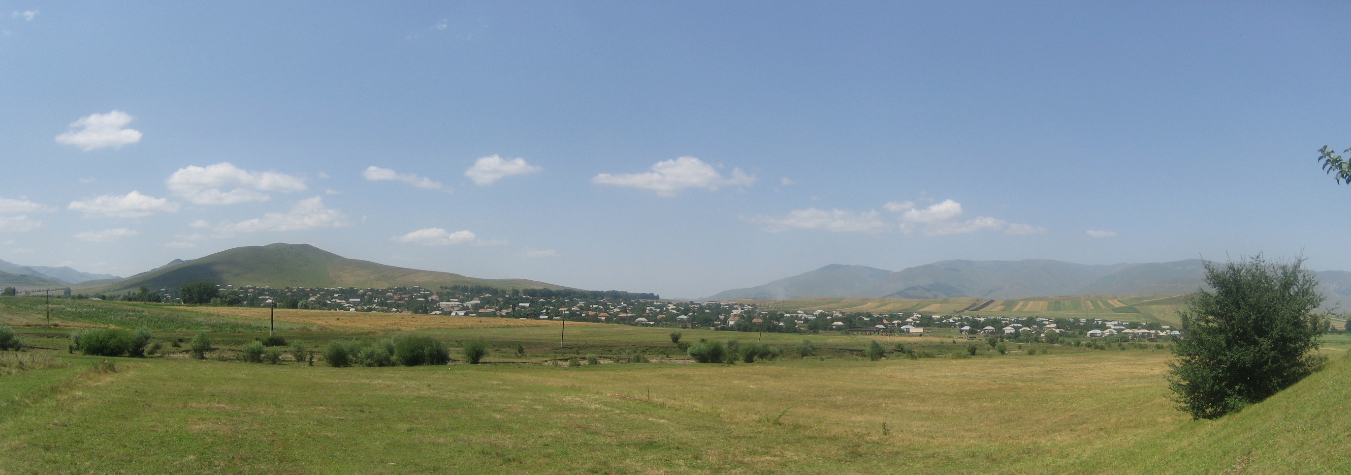
| kasamtangan | 23:05, 5 Septiyembre 2008 | 2,744 × 966 (752 KB) | Serouj | {{Information |Description={{en|1=Skyline of the village of Gyulagarak in the Lori province of Armenia.}} |Source=Own work by uploader |Author=Serouj |Date=August 16, 2008 |Permission= |other |
Mga paggamit sa payl
Ang mosunod nga mga panid misumpay niining payl:
Global nga paggamit sa payl
Kining ubang wiki naggamit ning maong payl:
- Paggamit sa az.wikipedia.org
- Paggamit sa ce.wikipedia.org
- Paggamit sa en.wikipedia.org
- Paggamit sa es.wikipedia.org
- Paggamit sa fa.wikipedia.org
- Paggamit sa fr.wikipedia.org
- Paggamit sa it.wikipedia.org
- Paggamit sa ka.wikipedia.org
- Paggamit sa pl.wikipedia.org
- Paggamit sa ru.wikipedia.org
- Paggamit sa sv.wikipedia.org
- Paggamit sa vi.wikipedia.org
- Paggamit sa www.wikidata.org
- Paggamit sa zh-min-nan.wikipedia.org