
Payl:Iringa Regionen.png
Gidak-on ning maong paunang tan-aw: 534 x 600 ka mga piksel. Uban pang mga resoluyon: 214 x 240 ka mga piksel | 427 x 480 ka mga piksel | 902 x 1,013 ka mga piksel.
Tibuok resolusyon (902 × 1,013 pixels, size sa payl: 70 KB, MIME type: image/png)
| Deskripsyon |
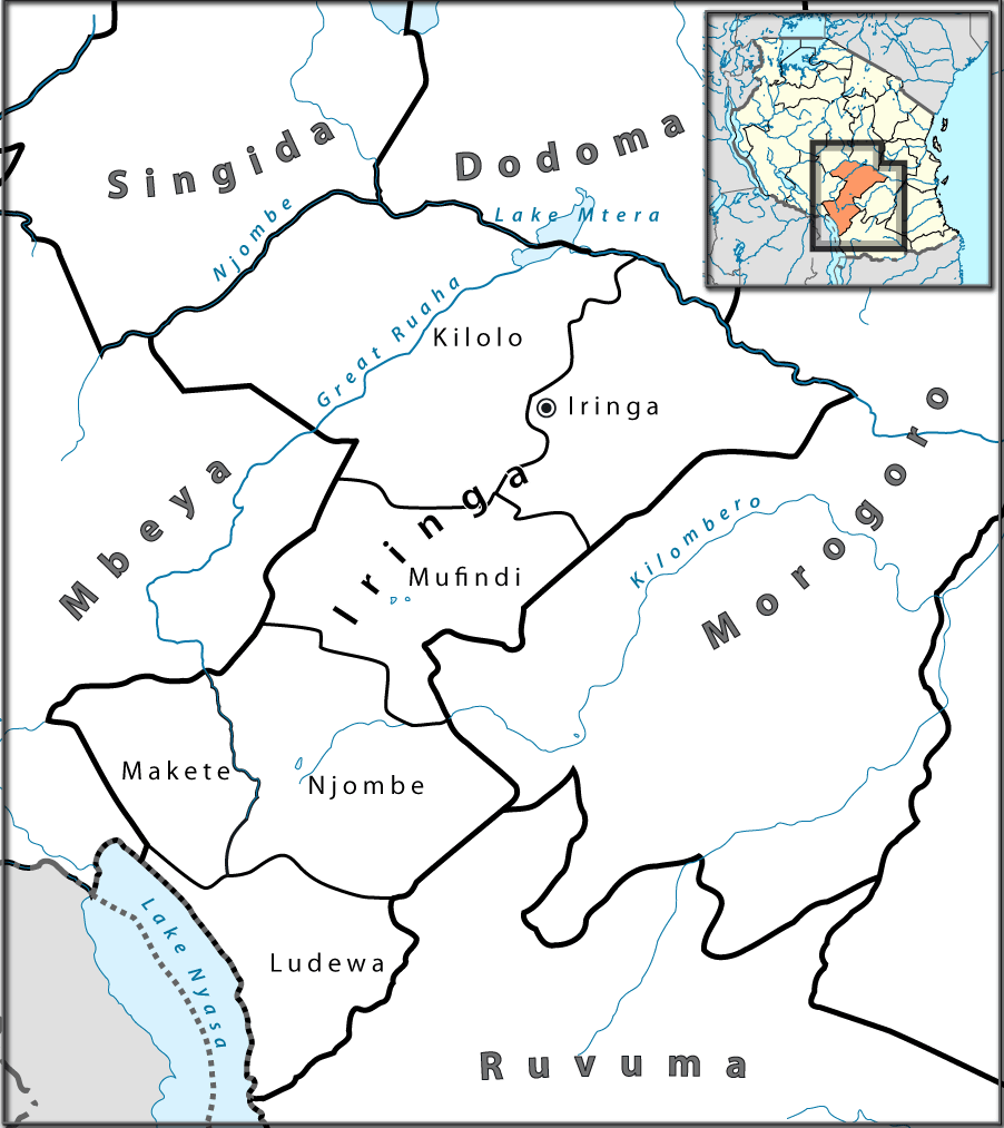
English: Location map of en:Tanzania. Français : Carte de géolocalisation de la fr:Tanzanie. Español: Mapa de georreferenciación de es:Tanzania. Equirectangular projection. 0.25° N, 28° W, 42° E, -13° S. Center : -6.375 35 |
| Petsa | (UTC) |
| Gigikanan | |
| Tagsulat |
|

|
This photo was taken by Lantus. If you use one of my photos, an email (account needed) or a message would be greatly appreciated. |
| This is a retouched picture, which means that it has been digitally altered from its original version. Modifications: Ausschnitt für Iringa-Region mit Distriktgrenzen. The original can be viewed here: Tanzania location map.svg:
|
I, the copyright holder of this work, hereby publish it under the following licenses:
This file is licensed under the Creative Commons Attribution-Share Alike 3.0 Unported, 2.5 Generic, 2.0 Generic and 1.0 Generic license.
- Libre ka:
- sa pagsabwag – sa pagkopya, pag-apod-apod ug pagsabwag sa hinimo
- sa pag-remix – sa pag-adap sa binuhat
- Ubos sa mosunod nga mga kondisyon:
- atribusyon – Kinahanglan nimo nga hatagan ang angay nga kredito, maghatag usa ka link sa lisensya, ug ipakita kung adunay mga pagbag-o. Mahimo nimo kini buhaton sa bisan unsang makatarunganon nga paagi, apan dili sa bisan unsang paagi nga nagsugyot nga gi-endorso ka sa licensor o ang imong paggamit.
- share parehas – Kung imong gi-remix, gibag-o, o gibase sa materyal, kinahanglan nimo nga iapod-apod ang imong mga kontribusyon sa ilawom sa parehas o katugma nga lisensya sama sa orihinal.

|
Gitugot ang pagkopya, pag-apud-apod o/ug pag-usab ning maong dokumento ubos sa mga termino sa GNU Free Documentation License, Version 1.2 o mas bag-ong bersiyon nga gimantala sa Free Software Foundation; nga walay Invariant Sections, walay Front-Cover Texts, ug walay Back-Cover Texts. Ang kopya sa lisensiya gilakip sa bahin nga giulohang GNU Free Documentation License. |
You may select the license of your choice.
Original upload log
This image is a derivative work of the following images:
- File:Tanzania_location_map.svg licensed with Cc-by-sa-3.0,2.5,2.0,1.0, GFDL
- 2009-07-25T00:30:42Z BetacommandBot 3096x2947 (848601 Bytes) move approved by: [[User:Sémhur]] This image was moved from [[:File:Tanzania location equirectangular map.svg]] =={{int:summary}}== {{Information |Description={{en|1=Location map of [[:en:Tanzania]].}} {{fr|1=Carte de gé
Uploaded with derivativeFX
Kaagi sa payl
I-klik ang petsa/oras aron makit-an ang hulagway sa payl niadtong panahona.
| Petsa/Takna | Thumbnail | Mga dimensyon | Tiggamit | Komento | |
|---|---|---|---|---|---|
| kasamtangan | 16:37, 23 Hulyo 2010 | | 902 × 1,013 (70 KB) | Lantus | zusätzlich Übersichtkarte eingebaut |
| 12:09, 23 Hulyo 2010 |  | 930 × 1,013 (55 KB) | Lantus | Schriftgrößen angepasst. | |
| 11:09, 23 Hulyo 2010 |  | 930 × 1,013 (58 KB) | Lantus | {{Information |Description={{en|1=Location map of en:Tanzania.}} {{fr|1=Carte de géolocalisation de la fr:Tanzanie.}} {{es|1=Mapa de georreferenciación de es:Tanzania.}} Equirectangular projection. 0.25° N, 28° W, 42° E, -13° S. Ce |
Mga paggamit sa payl
Ang mosunod nga mga panid misumpay niining payl:
Global nga paggamit sa payl
Kining ubang wiki naggamit ning maong payl:
- Paggamit sa bg.wikipedia.org
- Paggamit sa el.wikipedia.org
- Paggamit sa en.wikipedia.org
- Paggamit sa es.wikipedia.org
- Paggamit sa ha.wikipedia.org
- Paggamit sa ig.wikipedia.org
- Paggamit sa it.wikipedia.org
- Paggamit sa sw.wikipedia.org
- Paggamit sa ts.wikipedia.org
- Paggamit sa uk.wikipedia.org
- Paggamit sa vi.wikipedia.org
- Paggamit sa www.wikidata.org
- Paggamit sa yo.wikipedia.org
- Paggamit sa zu.wikipedia.org