
Payl:Kresin LT CZ.png

Gidak-on ning maong paunang tan-aw: 709 x 599 ka mga piksel. Uban pang mga resoluyon: 284 x 240 ka mga piksel | 568 x 480 ka mga piksel | 854 x 722 ka mga piksel.
Tibuok resolusyon (854 × 722 pixels, size sa payl: 41 KB, MIME type: image/png)
| Deskripsyon |
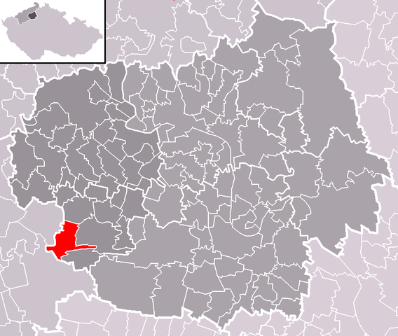
Čeština: Poloha obce Křesín v rámci okresu Litoměřice a správního obvodu obce s rozšířenou působností Lovosice.
English: Location of Křesín municipality within Litoměřice District and administrative area of Lovosice as a Municipality with Extended Competence. |
| Petsa | |
| Gigikanan | Self made, based on Image:ORP Lovosice LT CZ.png and Image:Map CZ - district Litomerice.PNG |
| Tagsulat | User:Miaow Miaow |
| Pagtugot (Paggamit pag-usab niini nga file) |
PD-self |
Pagtugot
| I, the copyright holder of this work, release this work into the public domain. This applies worldwide. In some countries this may not be legally possible; if so: I grant anyone the right to use this work for any purpose, without any conditions, unless such conditions are required by law. |
Kaagi sa payl
I-klik ang petsa/oras aron makit-an ang hulagway sa payl niadtong panahona.
| Petsa/Takna | Thumbnail | Mga dimensyon | Tiggamit | Komento | |
|---|---|---|---|---|---|
| kasamtangan | 23:43, 21 Oktubre 2008 | | 854 × 722 (41 KB) | Miaow Miaow | {{Information |Description={{cs|Poloha obce '''Křesín''' v rámci okresu Litoměřice a správního obvodu obce s rozšířenou působností Lovosice.}} {{en|Location of '''Křesín''' municipality within Litoměřice D |
Mga paggamit sa payl
Ang mosunod nga mga panid misumpay niining payl:
Global nga paggamit sa payl
Kining ubang wiki naggamit ning maong payl:
- Paggamit sa cs.wikipedia.org
- Paggamit sa eo.wikipedia.org
- Paggamit sa es.wikipedia.org
- Paggamit sa eu.wikipedia.org
- Paggamit sa it.wikipedia.org
- Paggamit sa lmo.wikipedia.org
- Paggamit sa pt.wikipedia.org
- Paggamit sa sk.wikipedia.org
- Paggamit sa sv.wikipedia.org
- Paggamit sa tt.wikipedia.org
- Paggamit sa vi.wikipedia.org
- Paggamit sa www.wikidata.org
- Paggamit sa zh-min-nan.wikipedia.org