
Payl:Map of Arizona highlighting Maricopa County.svg

Size of this PNG preview of this SVG file: 487 x 599 ka mga piksel. Uban pang mga resoluyon: 195 x 240 ka mga piksel | 390 x 480 ka mga piksel | 624 x 768 ka mga piksel | 832 x 1,024 ka mga piksel | 1,664 x 2,048 ka mga piksel | 893 x 1,099 ka mga piksel.
Tibuok resolusyon (SVG nga payl, nominally 893 × 1,099 pixels, size sa payl: 260 KB)
Mubong sugid:
| Deskripsyon |
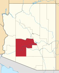
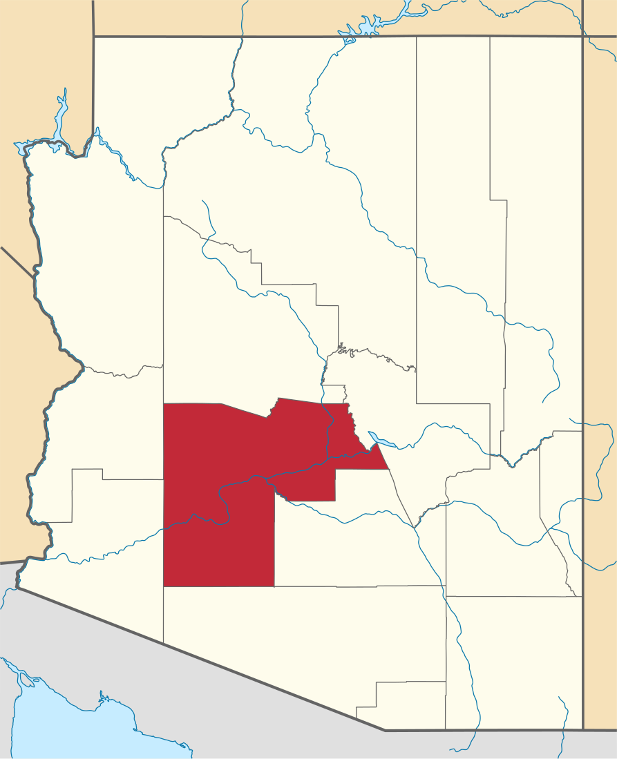
English: Locator map of Maricopa County in Arizona. |
||
| Petsa | |||
| Gigikanan | v.1: David Benbennick; v.2: File:USA Arizona location map.svg | ||
| Tagsulat | Kaugalingong trabaho. | ||
| Pagtugot (Paggamit pag-usab niini nga file) |
|
||
| Other versions | |||
| Commons images used |
- For more information, see Commons:United States county locator maps.
Kaagi sa payl
I-klik ang petsa/oras aron makit-an ang hulagway sa payl niadtong panahona.
| Petsa/Takna | Thumbnail | Mga dimensyon | Tiggamit | Komento | |
|---|---|---|---|---|---|
| kasamtangan | 22:13, 28 Pebrero 2015 | | 893 × 1,099 (260 KB) | Sumiaz | Newer version based on File:USA Arizona location map.svg |
| 10:08, 12 Pebrero 2006 |  | 5,453 × 6,322 (56 KB) | David Benbennick | {{subst:User:Dbenbenn/clm|county=Maricopa County|state=Arizona}} |
Mga paggamit sa payl
Ang mosunod nga mga panid misumpay niining payl:
Global nga paggamit sa payl
Kining ubang wiki naggamit ning maong payl:
- Paggamit sa ar.wikipedia.org
- فينيكس (أريزونا)
- ميسا (أريزونا)
- غلانديل (أريزونا)
- سكوتسديل
- قائمة مقاطعات أريزونا
- مقاطعة ماريكوبا (أريزونا)
- أفونديل
- تشاندلر
- براديس فالي
- بيوريا
- سوربرايز
- تمبي
- كريفري (أريزونا)
- كيف كريك (أريزونا)
- فاونتن هيلز (أريزونا)
- غيلا بيند (أريزونا)
- غوادالوبي (أريزونا)
- كوين كريك (أريزونا)
- ويكنبورغ (أريزونا)
- يونغتاون (أريزونا)
- غوديير
- أباتشي جنكشن
- الميراج (أريزونا)
- ليتشفيلد بارك
- توليسون
- باكيي
- محمية توهونو اودهام
- غيلبرت
- سن سيتي ويست (أريزونا)
- سن (أريزونا)
- سن ليكس (أريزونا)
- نيو ريفر (أريزونا)
- قالب:مقاطعة ماريكوبا (أريزونا)
- Paggamit sa bg.wikipedia.org
- Paggamit sa bpy.wikipedia.org
- Paggamit sa ca.wikipedia.org
View more global usage of this file.