
Payl:Map of Ebey's Landing National Historical Reserve.jpg

Gidak-on ning maong paunang tan-aw: 723 x 599 ka mga piksel. Uban pang mga resoluyon: 290 x 240 ka mga piksel | 579 x 480 ka mga piksel | 926 x 768 ka mga piksel | 1,235 x 1,024 ka mga piksel | 2,031 x 1,684 ka mga piksel.
Tibuok resolusyon (2,031 × 1,684 pixels, size sa payl: 1.02 MB, MIME type: image/jpeg)
Mubong sugid:
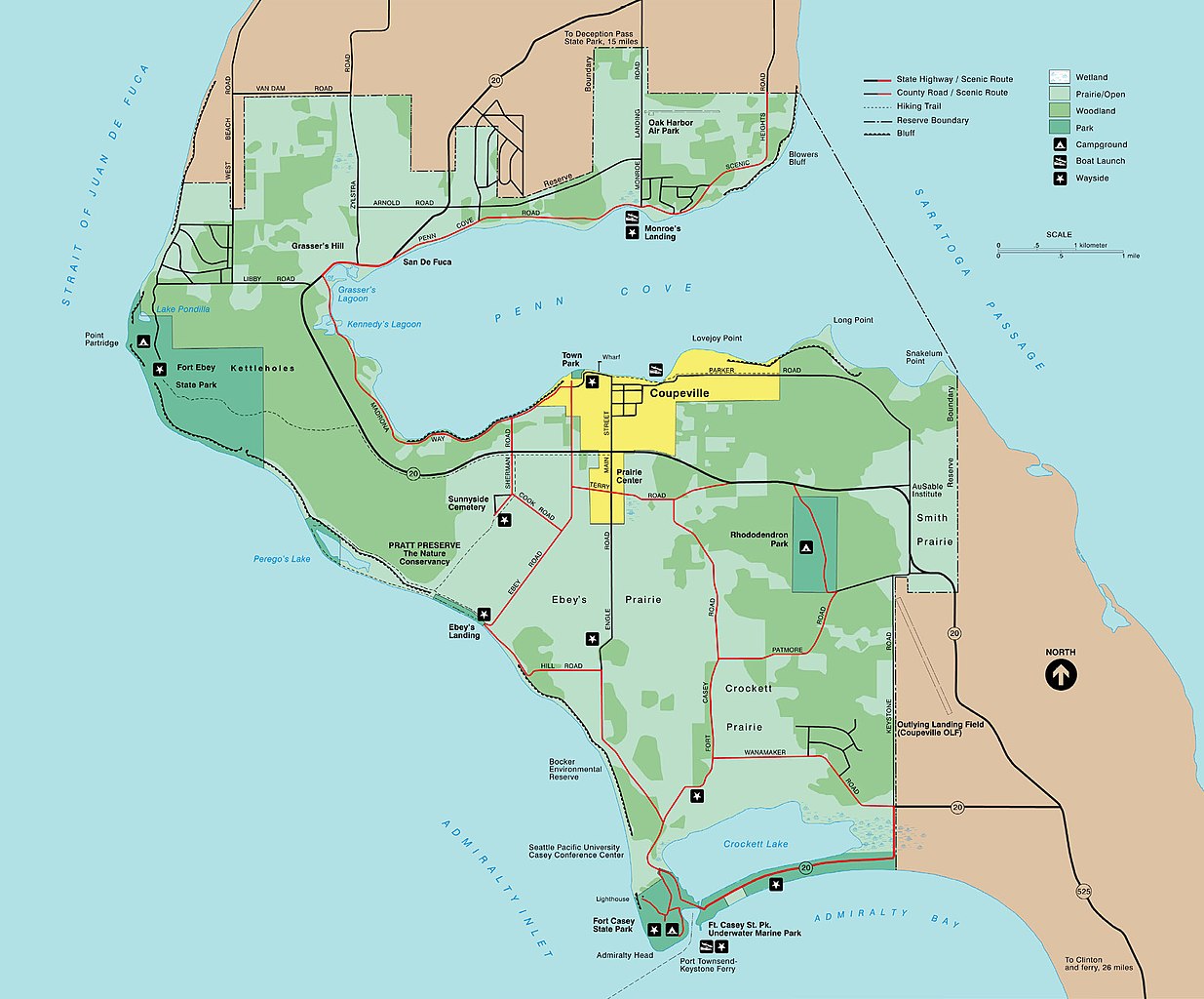
| Deskripsyon | A map of Ebey's Landing National Historical Reserve in Whidbey Island, Washington |
| Petsa | Unknown date |
| Gigikanan | http://www.nps.gov/ebla/planyourvisit/maps.htm |
| Tagsulat | Unknown author |
Pagtugot
| This image or media file contains material based on a work of a National Park Service employee, created as part of that person's official duties. As a work of the U.S. federal government, such work is in the public domain in the United States. See the NPS website and NPS copyright policy for more information. |
Kaagi sa payl
I-klik ang petsa/oras aron makit-an ang hulagway sa payl niadtong panahona.
| Petsa/Takna | Thumbnail | Mga dimensyon | Tiggamit | Komento | |
|---|---|---|---|---|---|
| kasamtangan | 03:04, 2 Marso 2008 | | 2,031 × 1,684 (1.02 MB) | Murderbike~commonswiki | {{Information |Description=A map of Ebey's Landing National Historical Reserve in Whidbey Island, Washington |Source=http://www.nps.gov/ebla/planyourvisit/maps.htm |Date=unknown |Author=unknown |Permission= |other_versions= }} |
Mga paggamit sa payl
There are no pages that use this file.
Global nga paggamit sa payl
Kining ubang wiki naggamit ning maong payl:
- Paggamit sa en.wikipedia.org
- Paggamit sa en.wikivoyage.org
- Paggamit sa es.wikipedia.org
- Paggamit sa www.wikidata.org