
Payl:Map of Wisconsin highlighting Door County.svg

Size of this PNG preview of this SVG file: 559 x 599 ka mga piksel. Uban pang mga resoluyon: 224 x 240 ka mga piksel | 448 x 480 ka mga piksel | 717 x 768 ka mga piksel | 956 x 1,024 ka mga piksel | 1,911 x 2,048 ka mga piksel | 4,747 x 5,087 ka mga piksel.
Tibuok resolusyon (SVG nga payl, nominally 4,747 × 5,087 pixels, size sa payl: 103 KB)
Mubong sugid:
| Deskripsyon |
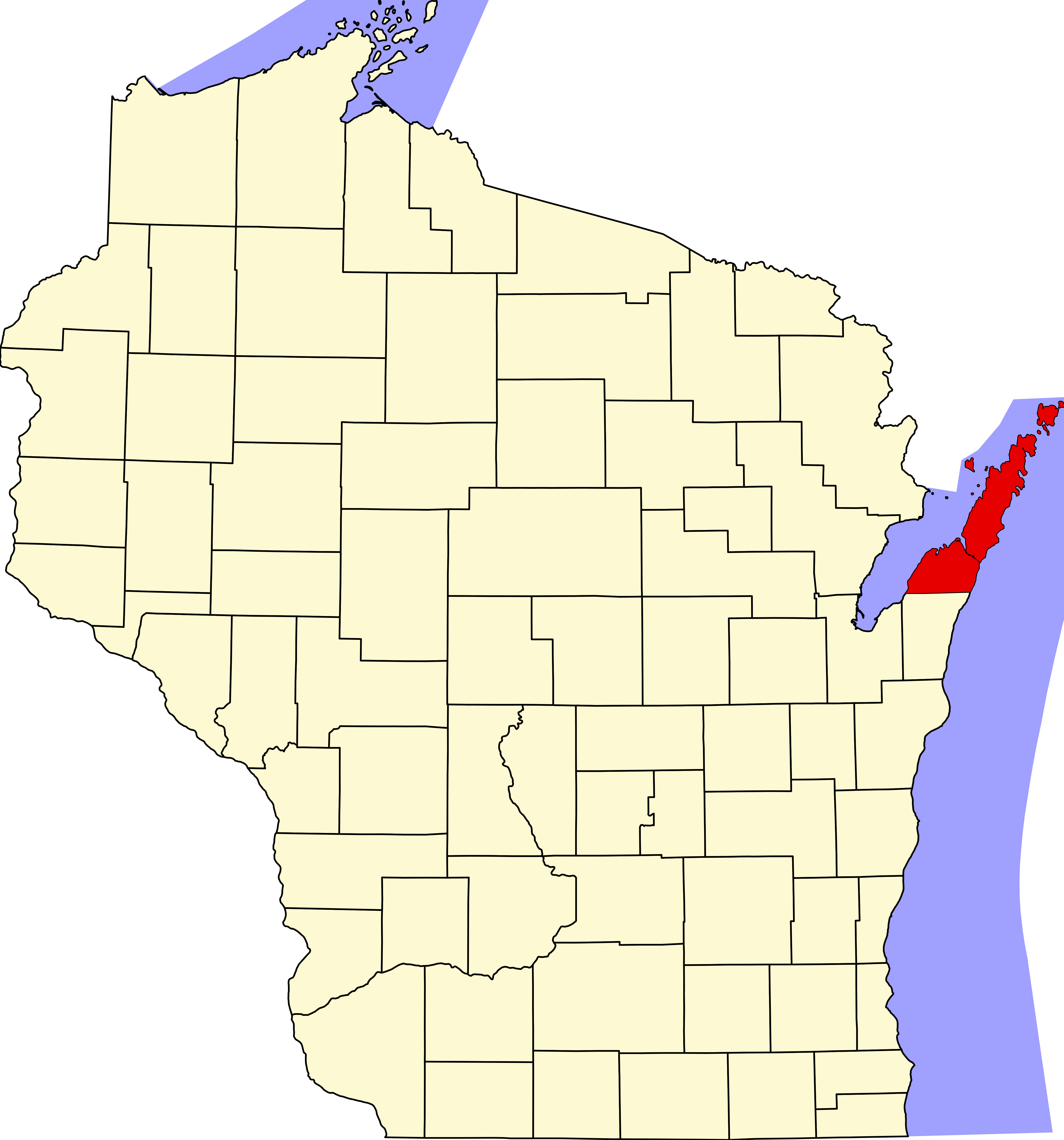
English: Locator map showing Door County (red) — in northeastern Wisconsin.
|
| Petsa | |
| Gigikanan |
Kaugalingong trabaho: English: The maps use data from nationalatlas.gov, specifically countyp020.tar.gz on the Raw Data Download page. The maps also use state outline data from statesp020.tar.gz. The Florida maps use hydrogm020.tar.gz to display Lake Okeechobee. |
| Tagsulat | David Benbennick |
Pagtugot
| I, the copyright holder of this work, release this work into the public domain. This applies worldwide. In some countries this may not be legally possible; if so: I grant anyone the right to use this work for any purpose, without any conditions, unless such conditions are required by law. |
Kaagi sa payl
I-klik ang petsa/oras aron makit-an ang hulagway sa payl niadtong panahona.
| Petsa/Takna | Thumbnail | Mga dimensyon | Tiggamit | Komento | |
|---|---|---|---|---|---|
| kasamtangan | 00:22, 13 Pebrero 2006 | | 4,747 × 5,087 (103 KB) | David Benbennick | {{subst:User:Dbenbenn/clm|county=Door County|state=Wisconsin|type=county}} |
| 18:14, 12 Pebrero 2006 |  | 4,747 × 5,087 (103 KB) | David Benbennick | {{subst:User:Dbenbenn/clm|county=Door County|state=Wisconsin|type=county}} |
Mga paggamit sa payl
Ang mosunod nga mga panid misumpay niining payl:
Global nga paggamit sa payl
Kining ubang wiki naggamit ning maong payl:
- Paggamit sa ar.wikipedia.org
- Paggamit sa bg.wikipedia.org
- Paggamit sa bpy.wikipedia.org
- Paggamit sa cdo.wikipedia.org
- Paggamit sa ce.wikipedia.org
- Paggamit sa cy.wikipedia.org
- Paggamit sa de.wikipedia.org
- Paggamit sa en.wikipedia.org
- List of counties in Wisconsin
- Door County, Wisconsin
- Sturgeon Bay
- Mink River
- Northport, Door County, Wisconsin
- Namur, Wisconsin
- Cana Island
- Pilot Island
- Horseshoe Island (Wisconsin)
- National Register of Historic Places listings in Door County, Wisconsin
- Maplewood, Wisconsin
- Carlsville, Wisconsin
- Institute, Wisconsin
- West Jacksonport, Wisconsin
- Valmy, Wisconsin
- Rowleys Bay, Wisconsin
- Little Sturgeon, Wisconsin
- Detroit Harbor, Wisconsin
- North Bay, Door County, Wisconsin
- Vignes, Wisconsin
- Kolberg, Wisconsin
- Carnot, Wisconsin
- Salona, Wisconsin
- Baileys Harbor (CDP), Wisconsin
- Brussels (community), Wisconsin
- Juddville, Wisconsin
- Peninsula Center, Wisconsin
- Idlewild, Wisconsin
- Washington (community), Wisconsin
- Shoemaker Point, Wisconsin
- User:Rfc1394/sandbox1
- The Ridges Sanctuary
- Coffee Swamp
- Template:DoorCountyWI-geo-stub
- Fish Island (Wisconsin)
- Hat Island (Wisconsin)
- Gravel Island (Wisconsin)
- Spider Island (Wisconsin)
- Detroit Harbor (bay)
View more global usage of this file.