
Payl:Meghalaya locator map.svg

Size of this PNG preview of this SVG file: 734 x 600 ka mga piksel. Uban pang mga resoluyon: 294 x 240 ka mga piksel | 587 x 480 ka mga piksel | 940 x 768 ka mga piksel | 1,253 x 1,024 ka mga piksel | 2,506 x 2,048 ka mga piksel | 2,393 x 1,956 ka mga piksel.
Tibuok resolusyon (SVG nga payl, nominally 2,393 × 1,956 pixels, size sa payl: 260 KB)
| Title |
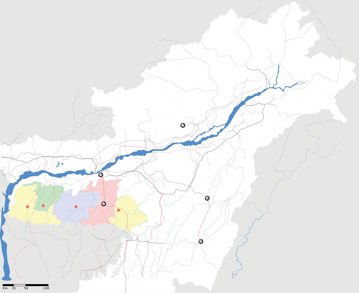
Meghalaya locator Map |
| Description |
Map of w:Meghalaya with road and rail lines. Equirectangular projection. Geographic limits of the map: top=29.49, bottom=23.74, left=89.61, right=97.52. |
| Petsa | |
| Gigikanan |
Kaugalingong trabaho |
| Creator | |
| Pagtugot (Paggamit pag-usab niini nga file) |
I, the copyright holder of this work, hereby publish it under the following license: This file is licensed under the Creative Commons Attribution-Share Alike 3.0 Unported license.
|
| Geotemporal data | |
| Date depicted | second half of 20 century ug 21 century |
| Georeferencing | If inappropriate please set warp_status = skip to hide. |
| Archival data | |
| Notes | Part of WikiProject India Maps |
Kaagi sa payl
I-klik ang petsa/oras aron makit-an ang hulagway sa payl niadtong panahona.
| Petsa/Takna | Thumbnail | Mga dimensyon | Tiggamit | Komento | |
|---|---|---|---|---|---|
| kasamtangan | 18:56, 16 Abril 2007 | | 2,393 × 1,956 (260 KB) | Planemad | {{WikiProject_India_Maps |Title=Meghalaya locator Map |Description=Map of w:Meghalaya with road and rail lines |Source= [http://www.iitg.ernet.in/rcilts/assam_political.jpg IIT Guwahati - Assam Political map] |Date=April 2007 |Author=[[w:user:Planemad |
Mga paggamit sa payl
Ang mosunod nga mga panid misumpay niining payl:
Global nga paggamit sa payl
Kining ubang wiki naggamit ning maong payl:
- Paggamit sa ar.wikipedia.org
- Paggamit sa ast.wikipedia.org
- Paggamit sa as.wikipedia.org
- Paggamit sa ba.wikipedia.org
- Paggamit sa bn.wikipedia.org
- Paggamit sa bs.wikipedia.org
- Paggamit sa de.wikipedia.org
- Paggamit sa es.wikipedia.org
- Paggamit sa fa.wikipedia.org
- Paggamit sa gu.wikipedia.org
- Paggamit sa hif.wikipedia.org
- Paggamit sa hi.wikipedia.org
- Paggamit sa hr.wikipedia.org
- Paggamit sa id.wikipedia.org
- Paggamit sa ja.wikipedia.org
- Paggamit sa kbd.wikipedia.org
- Paggamit sa ml.wikipedia.org
- Paggamit sa ms.wikipedia.org
- Paggamit sa new.wikipedia.org
- Paggamit sa nl.wikipedia.org
- Paggamit sa or.wikipedia.org
- Paggamit sa pam.wikipedia.org
View more global usage of this file.