
Payl:Miamisburg aerial from the east.jpg
Gidak-on ning maong paunang tan-aw: 800 x 600 ka mga piksel. Uban pang mga resoluyon: 320 x 240 ka mga piksel | 640 x 480 ka mga piksel | 1,024 x 768 ka mga piksel | 1,280 x 960 ka mga piksel | 2,272 x 1,704 ka mga piksel.
Tibuok resolusyon (2,272 × 1,704 pixels, size sa payl: 1.69 MB, MIME type: image/jpeg)
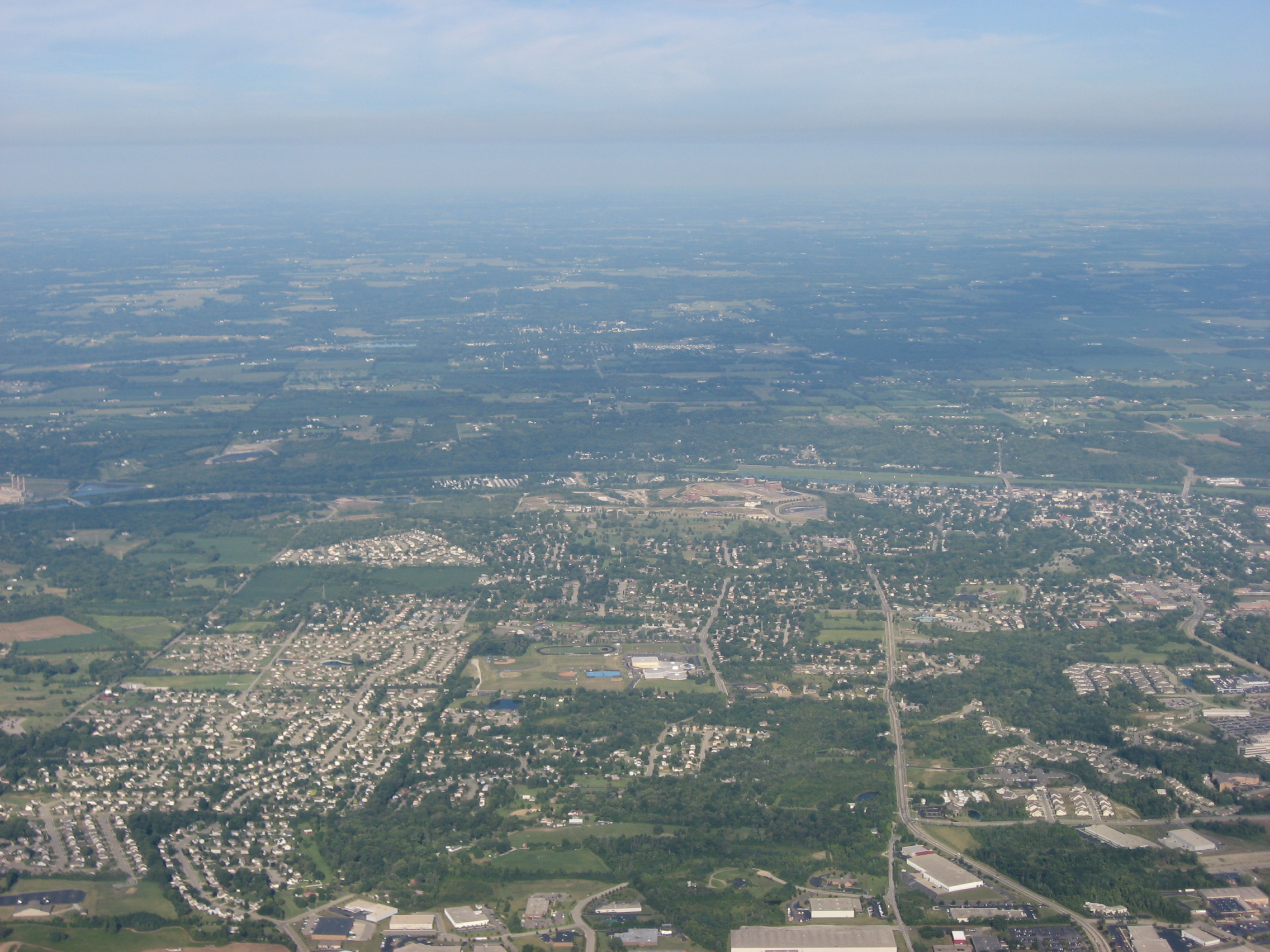
| Deskripsyon | Aerial view of Miamisburg, a city in southern Montgomery County, Ohio, United States, looking toward downtown. The Great Miami River is visible on the far side of downtown. Picture taken from a Diamond Eclipse light airplane at an altitude of 4,580 feet MSL and a bearing of approximately 273º. | ||
| Petsa | Taken on 12 Agosto 2008 | ||
| Gigikanan | Kaugalingong trabaho | ||
| Tagsulat | Nyttend | ||
| Pagtugot (Paggamit pag-usab niini nga file) |
|
Kaagi sa payl
I-klik ang petsa/oras aron makit-an ang hulagway sa payl niadtong panahona.
| Petsa/Takna | Thumbnail | Mga dimensyon | Tiggamit | Komento | |
|---|---|---|---|---|---|
| kasamtangan | 14:07, 22 Septiyembre 2008 | | 2,272 × 1,704 (1.69 MB) | Nyttend | {{Information |Description=Aerial view of {{w|Miamisburg, Ohio|Miamisburg}}, a city in southern {{w|Montgomery County, Ohio|Montgomery County}}, {{w|Ohio}}, {{w|United States}}, looking toward downtown. The {{w|Great Miami River}} is visible on the far s |
Mga paggamit sa payl
Ang mosunod nga mga panid misumpay niining payl:
Global nga paggamit sa payl
Kining ubang wiki naggamit ning maong payl:
- Paggamit sa ar.wikipedia.org
- Paggamit sa arz.wikipedia.org
- Paggamit sa azb.wikipedia.org
- Paggamit sa ca.wikipedia.org
- Paggamit sa ce.wikipedia.org
- Paggamit sa cy.wikipedia.org
- Paggamit sa en.wikivoyage.org
- Paggamit sa es.wikipedia.org
- Paggamit sa eu.wikipedia.org
- Paggamit sa fa.wikipedia.org
- Paggamit sa fr.wikipedia.org
- Paggamit sa ht.wikipedia.org
- Paggamit sa it.wikipedia.org
- Paggamit sa it.wikivoyage.org
- Paggamit sa ky.wikipedia.org
- Paggamit sa lld.wikipedia.org
- Paggamit sa no.wikipedia.org
- Paggamit sa pl.wikipedia.org
- Paggamit sa pt.wikipedia.org
- Paggamit sa sh.wikipedia.org
- Paggamit sa sr.wikipedia.org
- Paggamit sa tr.wikipedia.org
- Paggamit sa tt.wikipedia.org
- Paggamit sa uk.wikipedia.org
- Paggamit sa uz.wikipedia.org
- Paggamit sa vi.wikipedia.org
- Paggamit sa vo.wikipedia.org
- Paggamit sa www.wikidata.org
- Paggamit sa zh-min-nan.wikipedia.org