
Payl:Moravice, kostel.jpg
Gidak-on ning maong paunang tan-aw: 800 x 533 ka mga piksel. Uban pang mga resoluyon: 320 x 213 ka mga piksel | 640 x 426 ka mga piksel | 1,024 x 682 ka mga piksel | 1,280 x 853 ka mga piksel | 2,560 x 1,706 ka mga piksel | 4,770 x 3,178 ka mga piksel.
Tibuok resolusyon (4,770 × 3,178 pixels, size sa payl: 2.02 MB, MIME type: image/jpeg)
Mubong sugid:
| Deskripsyon |
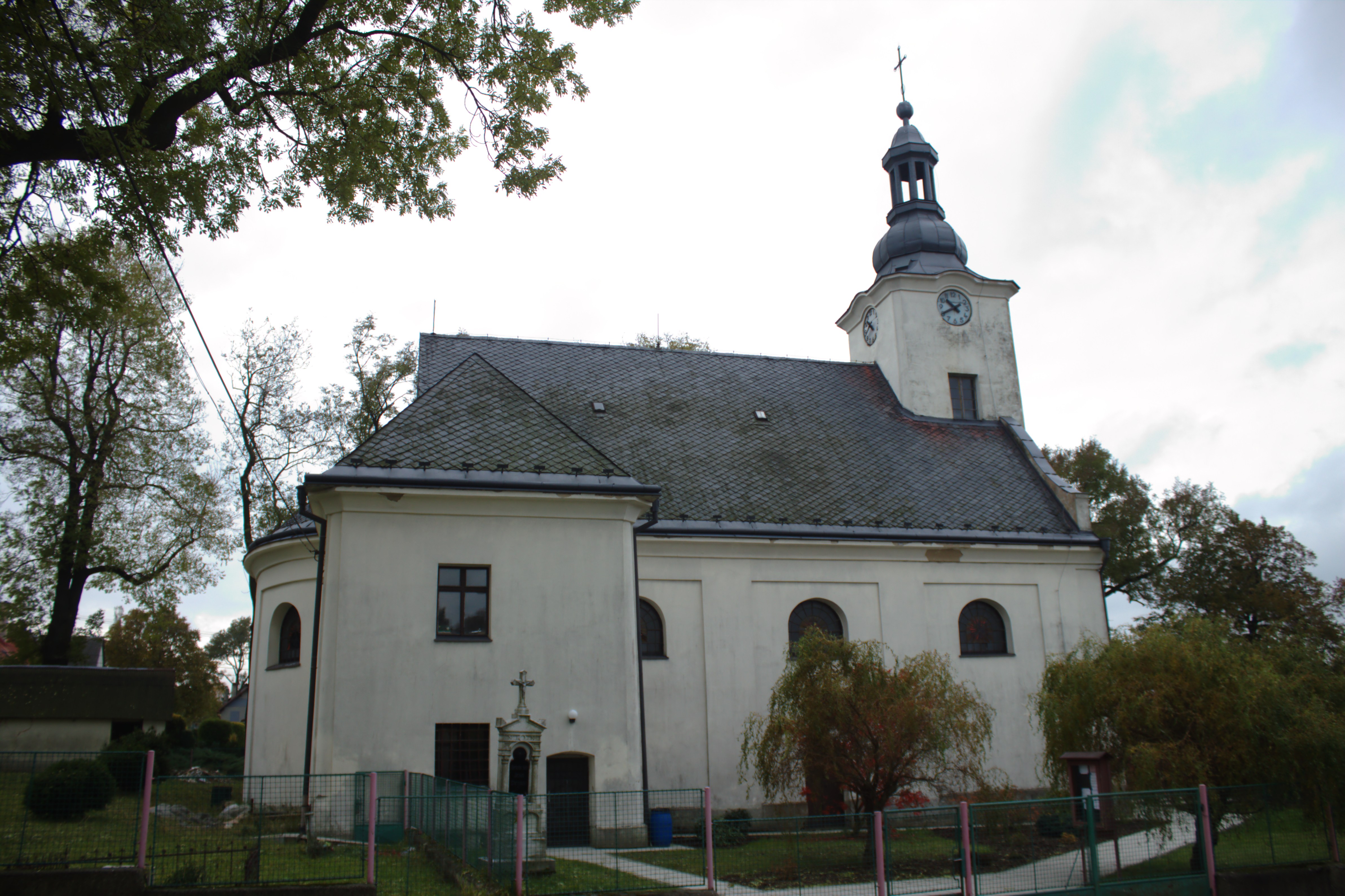
Čeština: Kostel svatého Filipa a Jakuba v Moravici. Okres Opava, Česká republika.
Čeština: St. Filip and James Church in Moravice, CZ
|
||||||
| Petsa | |||||||
| Gigikanan |
Kaugalingong trabaho
|
||||||
| Tagsulat |
|
||||||
| Pagtugot (Paggamit pag-usab niini nga file) |
This file is licensed under the Creative Commons Attribution-Share Alike 4.0 International license.
|
||||||

| Camera location | | View this and other nearby images on: OpenStreetMap |
|---|
Kaagi sa payl
I-klik ang petsa/oras aron makit-an ang hulagway sa payl niadtong panahona.
| Petsa/Takna | Thumbnail | Mga dimensyon | Tiggamit | Komento | |
|---|---|---|---|---|---|
| kasamtangan | 06:34, 30 Oktubre 2016 | | 4,770 × 3,178 (2.02 MB) | Aktron |
Mga paggamit sa payl
Ang mosunod nga mga panid misumpay niining payl:
Global nga paggamit sa payl
Kining ubang wiki naggamit ning maong payl:
- Paggamit sa ce.wikipedia.org
- Paggamit sa cs.wikipedia.org
- Paggamit sa de.wikipedia.org
- Paggamit sa en.wikipedia.org
- Paggamit sa eo.wikipedia.org
- Paggamit sa es.wikipedia.org
- Paggamit sa eu.wikipedia.org
- Paggamit sa fr.wikipedia.org
- Paggamit sa hu.wikipedia.org
- Paggamit sa it.wikipedia.org
- Paggamit sa lmo.wikipedia.org
- Paggamit sa nl.wikipedia.org
- Paggamit sa pl.wikipedia.org
- Paggamit sa sk.wikipedia.org
- Paggamit sa sr.wikipedia.org
- Paggamit sa tt.wikipedia.org
- Paggamit sa vi.wikipedia.org
- Paggamit sa www.wikidata.org