
Payl:Moxahala Creek valley in Bearfield Township.jpg

Gidak-on ning maong paunang tan-aw: 800 x 450 ka mga piksel. Uban pang mga resoluyon: 320 x 180 ka mga piksel | 640 x 360 ka mga piksel | 1,024 x 576 ka mga piksel | 1,280 x 720 ka mga piksel | 2,816 x 1,584 ka mga piksel.
Tibuok resolusyon (2,816 × 1,584 pixels, size sa payl: 870 KB, MIME type: image/jpeg)
| Camera location | | View this and other nearby images on: OpenStreetMap |
|---|
| Deskripsyon |
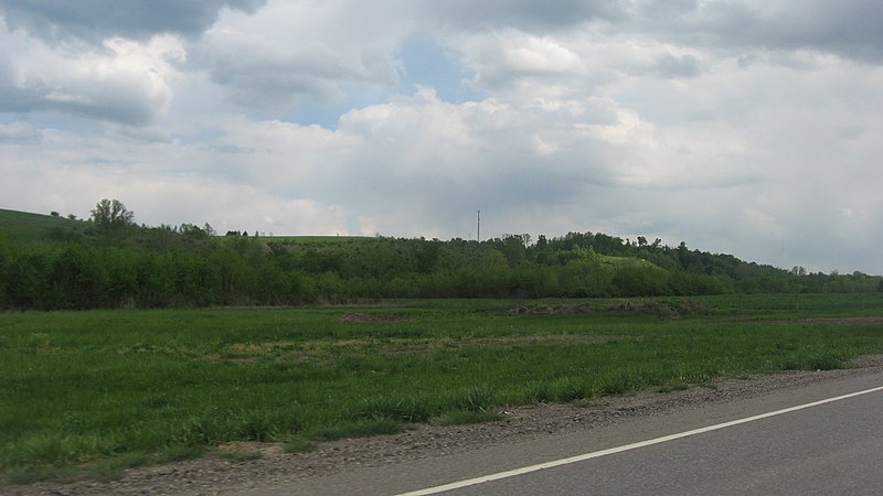
English: Fields and hills along Moxahala Creek south of Crooksville in northern Bearfield Township, Perry County, Ohio, United States. The scene is immediately south of the Township Road 402 intersection, and the picture is taken from a southbound car on State Route 93. |
||
| Petsa | Taken on 13 Mayo 2013 | ||
| Gigikanan | Kaugalingong trabaho | ||
| Tagsulat | Nyttend | ||
| Pagtugot (Paggamit pag-usab niini nga file) |
|
Kaagi sa payl
I-klik ang petsa/oras aron makit-an ang hulagway sa payl niadtong panahona.
| Petsa/Takna | Thumbnail | Mga dimensyon | Tiggamit | Komento | |
|---|---|---|---|---|---|
| kasamtangan | 17:44, 19 Mayo 2013 | | 2,816 × 1,584 (870 KB) | Nyttend | {{Location|39|42|56|N|82|6|56|W}} {{Information |Description={{en|Fields and hills along {{w|Moxahala Creek}} south of {{w|Crooksville, Ohio|Crooksville}} in northern {{w|Bearfield Township, Perry County, Ohio|Bearfield Township}}, {{w|Perry County, Oh... |
Mga paggamit sa payl
Ang mosunod nga mga panid misumpay niining payl:
Global nga paggamit sa payl
Kining ubang wiki naggamit ning maong payl:
- Paggamit sa ar.wikipedia.org
- Paggamit sa en.wikipedia.org
- Paggamit sa es.wikipedia.org
- Paggamit sa eu.wikipedia.org
- Paggamit sa fa.wikipedia.org
- Paggamit sa pt.wikipedia.org
- Paggamit sa ur.wikipedia.org
- Paggamit sa vi.wikipedia.org
- Paggamit sa www.wikidata.org
- Paggamit sa zh.wikipedia.org