
Payl:Norway Nordland location map.svg

Tibuok resolusyon (SVG nga payl, nominally 684 × 944 pixels, size sa payl: 514 KB)
Mubong sugid:
| Deskripsyon |
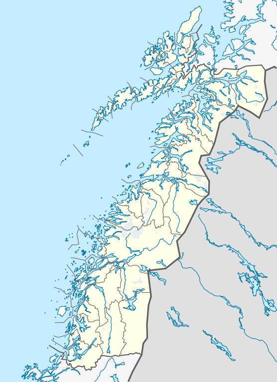
Quadratische Plattkarte, N-S-Streckung 255 %. Geographische Begrenzung der Karte:
Equirectangular projection, N/S stretching 255 %. Geographic limits of the map:
|
|
| Petsa | ||
| Gigikanan |
Kaugalingong trabaho, using
|
|
| Tagsulat | NordNordWest | |
| Pagtugot (Paggamit pag-usab niini nga file) |
This file is licensed under the Creative Commons Attribution-Share Alike 3.0 Germany license.
 This file is licensed under the Creative Commons Attribution-Share Alike 3.0 Germany license.
|


|
This map has been made or improved in the German Kartenwerkstatt (Map Lab). You can propose maps to improve as well.
|
Kaagi sa payl
I-klik ang petsa/oras aron makit-an ang hulagway sa payl niadtong panahona.
| Petsa/Takna | Thumbnail | Mga dimensyon | Tiggamit | Komento | |
|---|---|---|---|---|---|
| kasamtangan | 21:30, 2 Hunyo 2010 | | 684 × 944 (514 KB) | NordNordWest | =={{int:filedesc}}== {{Information |Description= {{de|Positionskarte von Nordland, Norwegen}} Quadratische Plattkarte, N-S-Streckung 255 %. Geographische Begrenzung der Karte: * N: 69.4° N * S: 64.8° N * W: 10 |
Mga paggamit sa payl
Ang mosunod nga mga panid misumpay niining payl:
Global nga paggamit sa payl
Kining ubang wiki naggamit ning maong payl:
- Paggamit sa de.wikipedia.org
- Paggamit sa en.wikipedia.org
- Paggamit sa frr.wikipedia.org
- Paggamit sa hy.wikipedia.org
- Paggamit sa no.wikipedia.org
- Paggamit sa pl.wikibooks.org
- Paggamit sa sv.wikipedia.org
- Paggamit sa uk.wikipedia.org
- Paggamit sa war.wikipedia.org