
Payl:Relief Map of Turkmenistan.png
Gidak-on ning maong paunang tan-aw: 800 x 568 ka mga piksel. Uban pang mga resoluyon: 320 x 227 ka mga piksel | 640 x 454 ka mga piksel | 1,024 x 727 ka mga piksel | 1,237 x 878 ka mga piksel.
Tibuok resolusyon (1,237 × 878 pixels, size sa payl: 1.07 MB, MIME type: image/png)

|
This map image could be re-created using vector graphics as an SVG file. This has several advantages; see Commons:Media for cleanup for more information. If an SVG form of this image is available, please upload it and afterwards replace this template with
{{vector version available|new image name}}.
It is recommended to name the SVG file “Relief Map of Turkmenistan.svg”—then the template Vector version available (or Vva) does not need the new image name parameter. |
Mubong sugid:
| Deskripsyon |
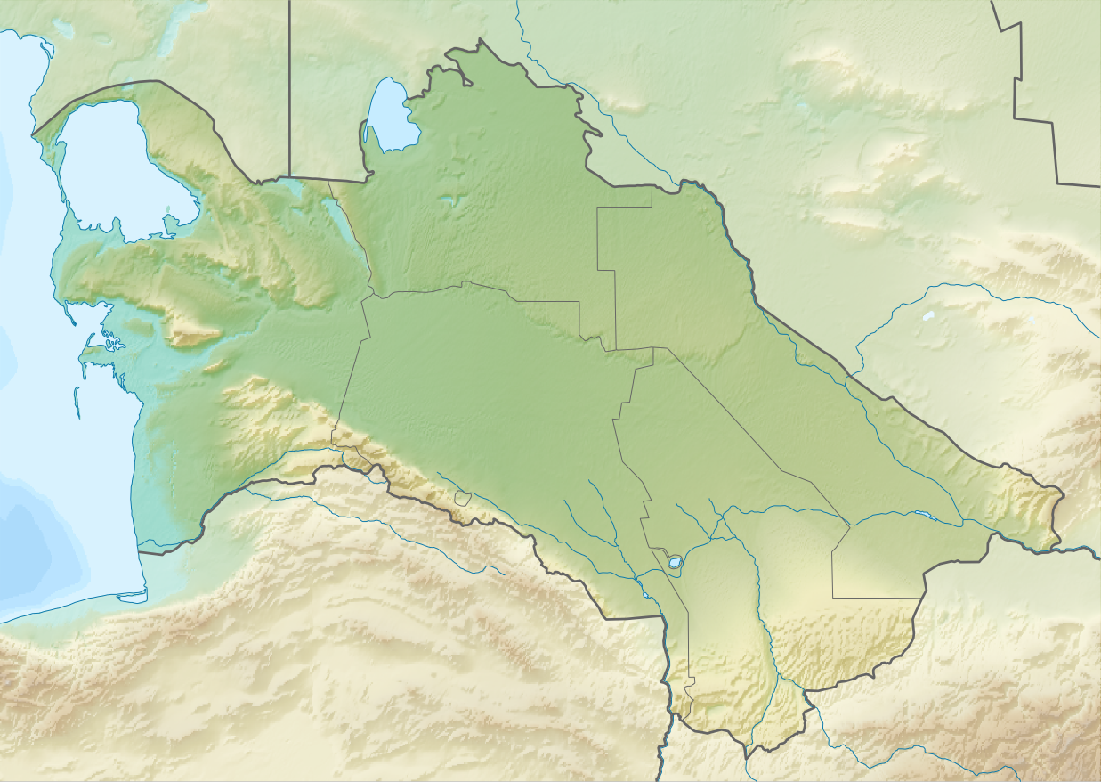
English: Relief map of Turkmenistan
Equirectangular projection, N/S stretching 130 %. Geographic limits of the map:
|
| Petsa | |
| Gigikanan | |
| Tagsulat |
|
| Pagtugot (Paggamit pag-usab niini nga file) |
This file is licensed under the Creative Commons Attribution-Share Alike 3.0 Unported license.
|
Kaagi sa payl
I-klik ang petsa/oras aron makit-an ang hulagway sa payl niadtong panahona.
| Petsa/Takna | Thumbnail | Mga dimensyon | Tiggamit | Komento | |
|---|---|---|---|---|---|
| kasamtangan | 13:14, 27 Agosto 2010 | | 1,237 × 878 (1.07 MB) | Виктор В | == {{int:filedesc}} == {{Information |Description={{en|Relief map of Turkmenistan}} Equirectangular projection, N/S stretching 130 %. Geographic limits of the map: * N: 43.2° N * S: 34.9° N * W: 52.0° E * E: 67.2° E |Source=*[[:Fi |
Mga paggamit sa payl
Ang mosunod nga mga panid misumpay niining payl:
Global nga paggamit sa payl
Kining ubang wiki naggamit ning maong payl:
- Paggamit sa ar.wikipedia.org
- Paggamit sa ast.wikipedia.org
- Paggamit sa av.wikipedia.org
- Paggamit sa azb.wikipedia.org
- Paggamit sa az.wikipedia.org
- Şablon:Yer xəritəsi Türkmənistan
- Qaraqum səhrası
- Aşqabad zəlzələsi (1948)
- Kopetdağ
- Çələkən Oğurçalı boğazı
- Çələkən yarımadası
- Türkmənbaşı yarımadası
- Dərdcə yarımadası
- Oğurca
- Cənub-şərqi Qaraqum
- Sandıqlı çölü
- Zaunquz Qaraqumu
- Mərkəzi Qaraqum
- Sarıqamış gölü
- Altın əsr
- Qaraboğazgöl boğazı
- Baharlı mağarası
- Böyük oyun
- Paggamit sa ba.wikipedia.org
- Paggamit sa be-tarask.wikipedia.org
- Paggamit sa be.wikipedia.org
- Paggamit sa bg.wikipedia.org
View more global usage of this file.