
Payl:Tenerife-LosSilos-SQ.JPG
Gidak-on ning maong paunang tan-aw: 800 x 600 ka mga piksel. Uban pang mga resoluyon: 320 x 240 ka mga piksel | 640 x 480 ka mga piksel | 1,024 x 768 ka mga piksel | 1,280 x 960 ka mga piksel | 2,048 x 1,536 ka mga piksel.
Tibuok resolusyon (2,048 × 1,536 pixels, size sa payl: 524 KB, MIME type: image/jpeg)
Mubong sugid:
| Deskripsyon |
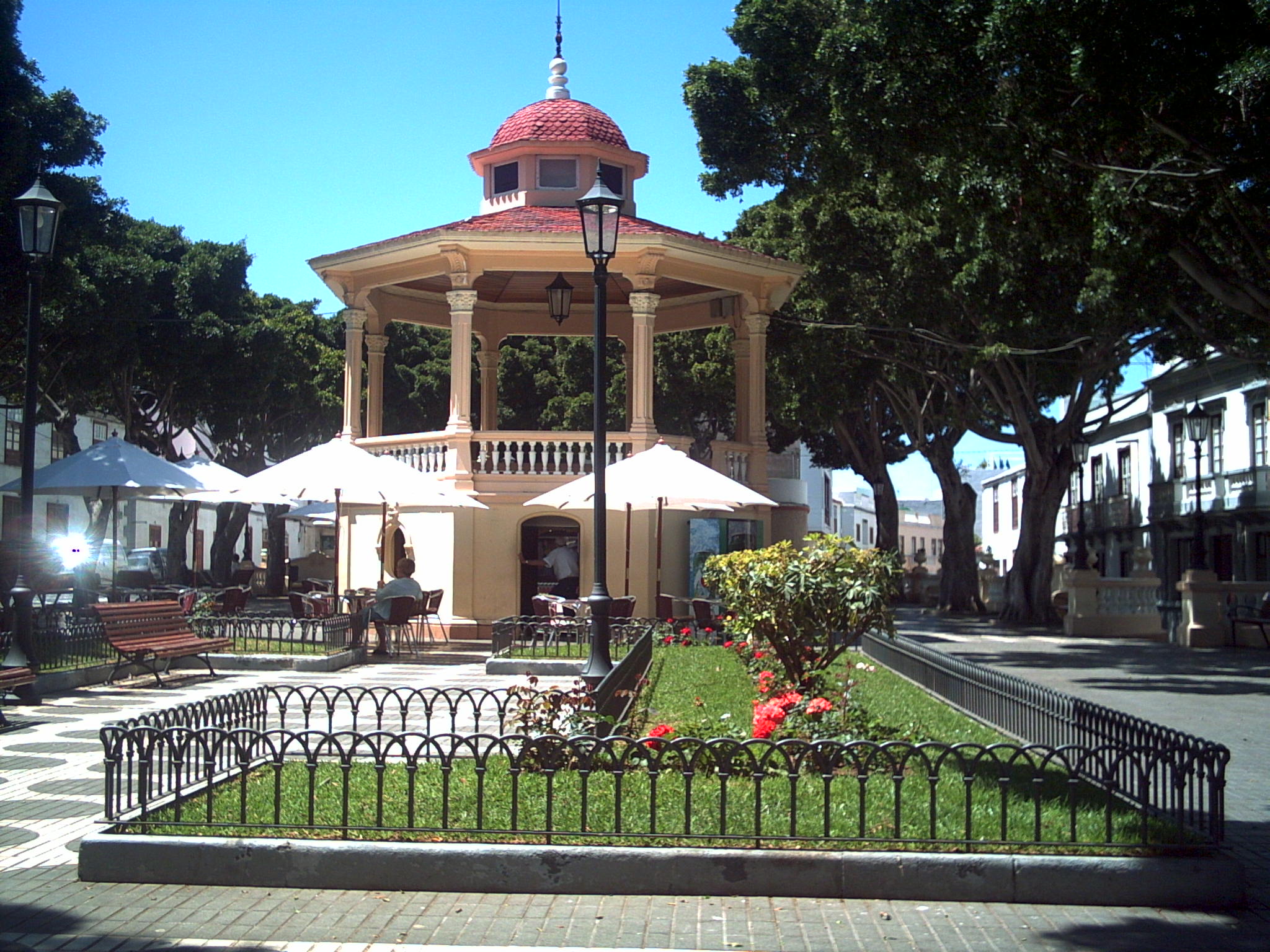
English: main square in Los silos town, Tenerife, Canary Islanda, Spain |
| Gigikanan | Kaugalingong trabaho |
| Tagsulat | User talk:THORtenerife |
| Object location | | View this and other nearby images on: OpenStreetMap |
|---|
Pagtugot
| I, the copyright holder of this work, release this work into the public domain. This applies worldwide. In some countries this may not be legally possible; if so: I grant anyone the right to use this work for any purpose, without any conditions, unless such conditions are required by law. |
Kaagi sa payl
I-klik ang petsa/oras aron makit-an ang hulagway sa payl niadtong panahona.
| Petsa/Takna | Thumbnail | Mga dimensyon | Tiggamit | Komento | |
|---|---|---|---|---|---|
| kasamtangan | 21:17, 20 Abril 2007 | | 2,048 × 1,536 (524 KB) | THORtenerife~commonswiki | main sq in Los silos town |
Mga paggamit sa payl
Ang mosunod nga mga panid misumpay niining payl:
Global nga paggamit sa payl
Kining ubang wiki naggamit ning maong payl:
- Paggamit sa an.wikipedia.org
- Paggamit sa arz.wikipedia.org
- Paggamit sa ca.wikipedia.org
- Paggamit sa ce.wikipedia.org
- Paggamit sa en.wikipedia.org
- Paggamit sa eo.wikipedia.org
- Paggamit sa es.wikipedia.org
- Paggamit sa eu.wikipedia.org
- Paggamit sa fr.wikipedia.org
- Paggamit sa gl.wikipedia.org
- Paggamit sa hu.wikipedia.org
- Paggamit sa ia.wikipedia.org
- Paggamit sa it.wikipedia.org
- Paggamit sa ka.wikipedia.org
- Paggamit sa lld.wikipedia.org
- Paggamit sa lmo.wikipedia.org
- Paggamit sa pl.wikipedia.org
- Paggamit sa ru.wikipedia.org
- Paggamit sa sv.wikipedia.org
- Paggamit sa tt.wikipedia.org
- Paggamit sa uz.wikipedia.org
- Paggamit sa vec.wikipedia.org
- Paggamit sa vi.wikipedia.org
- Paggamit sa www.wikidata.org
- Paggamit sa zh.wikipedia.org