
Payl:Trinidad and Tobago location map.svg

Size of this PNG preview of this SVG file: 619 x 600 ka mga piksel. Uban pang mga resoluyon: 248 x 240 ka mga piksel | 495 x 480 ka mga piksel | 792 x 768 ka mga piksel | 1,057 x 1,024 ka mga piksel | 2,113 x 2,048 ka mga piksel | 780 x 756 ka mga piksel.
Tibuok resolusyon (SVG nga payl, nominally 780 × 756 pixels, size sa payl: 39 KB)
Mubong sugid:
| Deskripsyon |
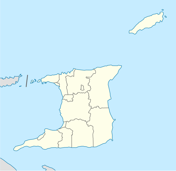
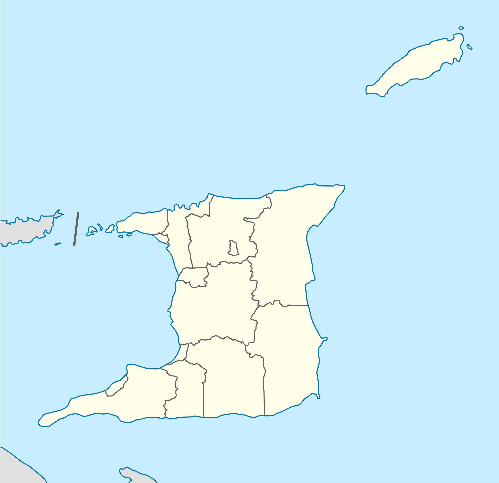
Deutsch: Positionskarte von Trinidad und Tobago
Quadratische Plattkarte. Geographische Begrenzung der Karte:
English: Location map of Trinidad and Tobago
Equirectangular projection. Geographic limits of the map:
|
| Petsa | |
| Gigikanan |
Kaugalingong trabaho, using
|
| Tagsulat | NordNordWest |
| Other versions |
Derivative works of this file: Trinidad and Tobago location map Topographic.png |


|
This map has been made or improved in the German Kartenwerkstatt (Map Lab). You can propose maps to improve as well.
|
Pagtugot
I, the copyright holder of this work, hereby publish it under the following license:
This file is licensed under the Creative Commons Attribution-Share Alike 3.0 Unported license.
- Libre ka:
- sa pagsabwag – sa pagkopya, pag-apod-apod ug pagsabwag sa hinimo
- sa pag-remix – sa pag-adap sa binuhat
- Ubos sa mosunod nga mga kondisyon:
- atribusyon – Kinahanglan nimo nga hatagan ang angay nga kredito, maghatag usa ka link sa lisensya, ug ipakita kung adunay mga pagbag-o. Mahimo nimo kini buhaton sa bisan unsang makatarunganon nga paagi, apan dili sa bisan unsang paagi nga nagsugyot nga gi-endorso ka sa licensor o ang imong paggamit.
- share parehas – Kung imong gi-remix, gibag-o, o gibase sa materyal, kinahanglan nimo nga iapod-apod ang imong mga kontribusyon sa ilawom sa parehas o katugma nga lisensya sama sa orihinal.
Kaagi sa payl
I-klik ang petsa/oras aron makit-an ang hulagway sa payl niadtong panahona.
| Petsa/Takna | Thumbnail | Mga dimensyon | Tiggamit | Komento | |
|---|---|---|---|---|---|
| kasamtangan | 12:39, 7 Mayo 2013 | | 780 × 756 (39 KB) | NordNordWest | Reverted to version as of 16:58, 17 June 2009; please see en: Chacachacare |
| 12:09, 7 Mayo 2013 |  | 780 × 756 (43 KB) | Dr Brains | Boundary with Venezuela | |
| 16:58, 17 Hunyo 2009 |  | 780 × 756 (39 KB) | NordNordWest | {{Information |Description= {{de|Positionskarte von Trinidad und Tobago}} Quadratische Plattkarte. Geographische Begrenzung der Karte: * N: 11.45° N * S: 9.85° N * W: 62.05° W * O: 60.4° W {{en|Location map of [[:en:Trinida |
Mga paggamit sa payl
More than 100 pages use this file. The following list shows the first 100 pages that use this file only. A full list is available.
- Balandra River
- Balata River
- Barrel of Beef
- Biche
- Black Rock
- Blue River
- Brothers Rocks
- Caledonia
- Campo River
- Carat Point
- Centre Hill
- Chimborazo
- City of San Fernando
- Columbus Point
- Corral Point
- Crown Point
- Delgada Point
- Diamond Hill
- East Island
- East Rock
- Eastern Channel
- Five Islands
- Flagstaff
- Forest Point
- Goat Island
- Green Hill
- Hermitage Bay
- Hope River
- Icacos Point
- Jordan River
- Lodge Point
- Long Island
- Long Rock
- Man of War Bay
- Manantial
- Manati
- Mangrove Bay
- Maria River
- Matura
- Mayaro
- Middle Channel
- Middle Shoal
- Mission River
- Monkey Point
- Morris Bay
- Morro Point
- Negra Point
- Nelson
- North Point
- Omega Island
- Pelican Rocks
- Piedra Blanca
- Punta Blanca
- Quebrada Grande
- Quebrada Honda
- Red Cliff
- Red Point
- Reyna Point
- Rincon
- Rio Claro
- Rio Grande
- Rio Negro
- Rio Seco
- Rock
- Rocky Point
- Roja Point
- Rosa Point
- Saint George
- Saint John
- Saint Paul
- San Carlos Point
- San Fernando
- San Jose Point
- San Juan River
- San Miguel River
- San Rafael
- Sandy Bay
- Sandy Point
- Sandy River
- Santa Cruz River
- Signal Hill
- Sisters
- Sisters Rocks
- Smith Island
- South Rock
- The Brothers
- The Sisters
- Toco
- Trinidad
- Trinidad Island
- Trinidad River
- Valencia (pagklaro)
- Virgin Hill
- West Branch
- White Cliff
- White Island
- White Islands
- White River
- White Rock
- Williams Bay
View more links to this file.
Global nga paggamit sa payl
Kining ubang wiki naggamit ning maong payl:
- Paggamit sa af.wikipedia.org
- Paggamit sa ar.wikipedia.org
- Paggamit sa be-tarask.wikipedia.org
- Paggamit sa be.wikipedia.org
- Paggamit sa bg.wikipedia.org
- Paggamit sa bn.wikipedia.org
- Paggamit sa bs.wikipedia.org
- Paggamit sa ca.wikipedia.org
- Paggamit sa ce.wikipedia.org
- Paggamit sa ckb.wikipedia.org
- Paggamit sa cs.wikipedia.org
- Paggamit sa da.wikipedia.org
- Paggamit sa de.wikivoyage.org
- Paggamit sa el.wikipedia.org
- Paggamit sa es.wikipedia.org
- Paggamit sa et.wikipedia.org
View more global usage of this file.