
Payl:Wallis relief location map.png
Gidak-on ning maong paunang tan-aw: 531 x 600 ka mga piksel. Uban pang mga resoluyon: 212 x 240 ka mga piksel | 425 x 480 ka mga piksel | 680 x 768 ka mga piksel | 1,082 x 1,222 ka mga piksel.
Tibuok resolusyon (1,082 × 1,222 pixels, size sa payl: 208 KB, MIME type: image/png)
Mubong sugid:
| Camera location | | View this and other nearby images on: OpenStreetMap |
|---|
| Deskripsyon |
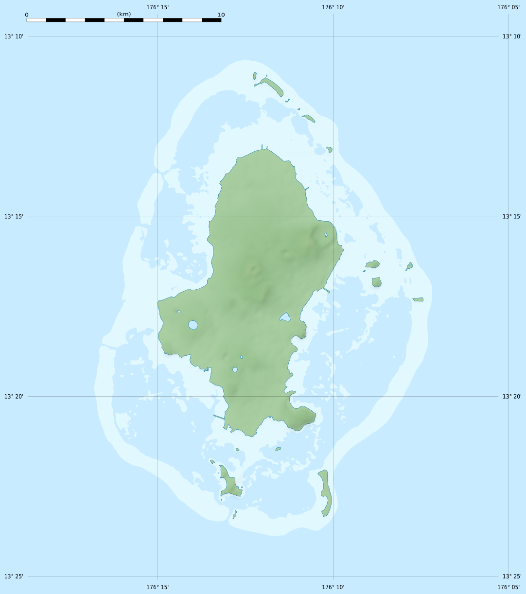
English: Blank physical map of Wallis Island, part of the French overseas collectivity of Wallis and Futuna, for geo-location purpose.
Français : Carte physique vierge de Wallis de la Collectivité d'outre-mer de Wallis-et-Futuna, destinée à la géolocalisation. Scale: 1:372,000 (precision: 93 m)
Geographic limits of the map:
|
||
| Petsa | |||
| Gigikanan |
Kaugalingong trabaho
|
||
| Tagsulat | Eric Gaba (Sting - fr:Sting) | ||
| Pagtugot (Paggamit pag-usab niini nga file) |
|
||
| Other versions |
See also:
|


Pagtugot
Eric Gaba, Wikimedia Commons user Sting, the copyright holder of this work, hereby publishes it under the following license:
This file is licensed under the Creative Commons Attribution-Share Alike 3.0 Unported license.
Attribution: Eric Gaba, Wikimedia Commons user Sting
- Libre ka:
- sa pagsabwag – sa pagkopya, pag-apod-apod ug pagsabwag sa hinimo
- sa pag-remix – sa pag-adap sa binuhat
- Ubos sa mosunod nga mga kondisyon:
- atribusyon – Kinahanglan nimo nga hatagan ang angay nga kredito, maghatag usa ka link sa lisensya, ug ipakita kung adunay mga pagbag-o. Mahimo nimo kini buhaton sa bisan unsang makatarunganon nga paagi, apan dili sa bisan unsang paagi nga nagsugyot nga gi-endorso ka sa licensor o ang imong paggamit.
- share parehas – Kung imong gi-remix, gibag-o, o gibase sa materyal, kinahanglan nimo nga iapod-apod ang imong mga kontribusyon sa ilawom sa parehas o katugma nga lisensya sama sa orihinal.
Kaagi sa payl
I-klik ang petsa/oras aron makit-an ang hulagway sa payl niadtong panahona.
| Petsa/Takna | Thumbnail | Mga dimensyon | Tiggamit | Komento | |
|---|---|---|---|---|---|
| kasamtangan | 21:19, 18 Hulyo 2010 | | 1,082 × 1,222 (208 KB) | Sting | Color profile |
| 02:25, 11 Hulyo 2010 |  | 1,082 × 1,222 (210 KB) | Sting | Simplifying reef color scheme | |
| 22:06, 10 Hulyo 2010 |  | 1,082 × 1,222 (231 KB) | Sting | == {{int:filedesc}} == {{Location|13|17|15|S|176|12|00|W|scale:100000}} <br/> {{Information |Description={{en|Blank physical map of Wallis Island, part of the French overseas collectivity of [[:en |
Mga paggamit sa payl
Ang mosunod nga mga panid misumpay niining payl:
Global nga paggamit sa payl
Kining ubang wiki naggamit ning maong payl:
- Paggamit sa ar.wikipedia.org
- Paggamit sa be-tarask.wikipedia.org
- Paggamit sa bg.wikipedia.org
- Paggamit sa de.wikipedia.org
- Paggamit sa el.wikipedia.org
- Paggamit sa en.wikipedia.org
- Paggamit sa eo.wikipedia.org
- Paggamit sa fa.wikipedia.org
- Paggamit sa fr.wikipedia.org
- Mata Utu
- Hahake
- Nukuloa
- Lac Lalolalo
- Projet:Cartographie/Cartes standards/France
- Modèle:Géolocalisation/Wallis
- Modèle:Géolocalisation/Wallis/Documentation
- Modèle:Géolocdual/Wallis
- Wikipédia:Atelier graphique/Cartes/Archives/juillet 2010
- Nukuteatea
- Nukutapu
- Nukuhifala
- Nukufotu
- Nukuatea
- Luaniva
- Fugalei
- Fenuafo'ou
- Vailala
- Hihifo
- Mu'a (Wallis)
- Aka'aka
- Ahoa
- Mala'efo'ou
- Liku (Wallis-et-Futuna)
- Falaleu
- Ha'afuasia
- Alele
- Vaitupu (Wallis-et-Futuna)
- Mala'e (Wallis)
- Tufu'one
- Halalo
- Utufua
- Vaimalau
- Lavegahau
- Te'esi
- Gahi
View more global usage of this file.