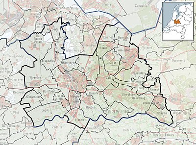
Plantilya:Location map Netherlands Utrecht
| name | Utrecht (province) | |||
|---|---|---|---|---|
| border coordinates | ||||
| 52.37224 | ||||
| 4.6939 | ←↕→ | 5.7463 | ||
| 51.8776 | ||||
| map center | 52°07′30″N 5°13′12″E / 52.12492°N 5.2201°E | |||
| image | 2010-NL-P06-Utrecht-positiekaart-gemnamen.jpg
| |||

| ||||
| name | Utrecht (province) | |||
|---|---|---|---|---|
| border coordinates | ||||
| 52.37224 | ||||
| 4.6939 | ←↕→ | 5.7463 | ||
| 51.8776 | ||||
| map center | 52°07′30″N 5°13′12″E / 52.12492°N 5.2201°E / 52.12492; 5.2201 | |||
| image | 2010-NL-P06-Utrecht-positiekaart-gemnamen.jpg
| |||

| ||||