Río Lleulleu
Appearance
Paghimo ni bot Lsjbot. |
| Río Lleulleu | |
| Suba | |
| Nasod | |
|---|---|
| Rehiyon | Región del Biobío |
| Gitas-on | 1 m (3 ft) |
| Tiganos | 38°04′49″S 73°27′15″W / 38.08017°S 73.45428°W |
| Timezone | BRT (UTC-3) |
| - summer (DST) | EDT (UTC-4) |
| GeoNames | 3882908 |
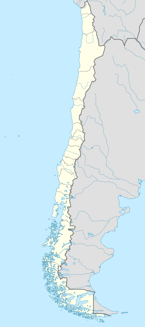
Suba ang Río Lleulleu sa Tśile.[1] Nahimutang ni sa rehiyon sa Región del Biobío, sa sentro nga bahin sa nasod, 600 km sa habagatan-kasadpan sa Santiago ang ulohan sa nasod. Río Lleulleu nidagayday paingon ngadto sa Kadagatang Pasipiko.
Ang mga gi basihan niini[usba | usba ang wikitext]
- ↑ Río Lleulleu sa Geonames.org (cc-by); post updated 2013-01-11; database download sa 2015-05-23

