
Payl:Attleboro, MA, train station.jpg
Gidak-on ning maong paunang tan-aw: 800 x 381 ka mga piksel. Uban pang mga resoluyon: 320 x 153 ka mga piksel | 640 x 305 ka mga piksel | 1,024 x 488 ka mga piksel | 1,280 x 610 ka mga piksel | 2,320 x 1,106 ka mga piksel.
Tibuok resolusyon (2,320 × 1,106 pixels, size sa payl: 2.51 MB, MIME type: image/jpeg)
|
This is an image of a place or building that is listed on the National Register of Historic Places in the United States of America. Its reference number is 88003128. |
| Deskripsyon |
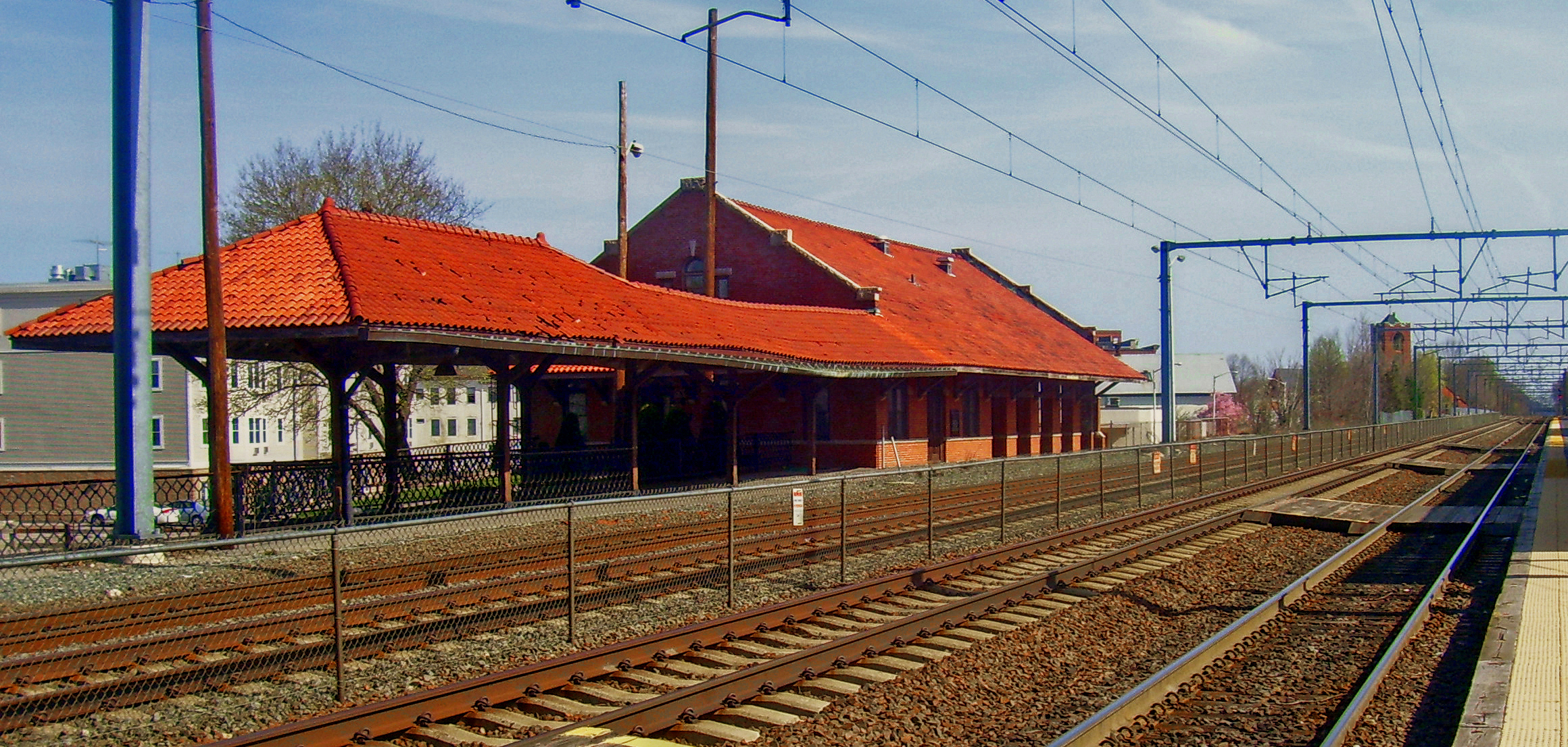
English: Attleboro, MA, USA train station. Looking north along the Providence/Stoughton Line towards Boston |
||||||||
| Petsa | |||||||||
| Gigikanan | Kaugalingong trabaho | ||||||||
| Tagsulat | Daniel Case | ||||||||
| Pagtugot (Paggamit pag-usab niini nga file) |
English Wikipedia user Daniel Case, the copyright holder of this work, hereby publishes it under the following license:
|

| Object location | | View this and other nearby images on: OpenStreetMap |
|---|
Kaagi sa payl
I-klik ang petsa/oras aron makit-an ang hulagway sa payl niadtong panahona.
| Petsa/Takna | Thumbnail | Mga dimensyon | Tiggamit | Komento | |
|---|---|---|---|---|---|
| kasamtangan | 02:01, 17 Mayo 2012 | | 2,320 × 1,106 (2.51 MB) | Pi.1415926535 | Make this less horribly washed out |
| 22:37, 3 Pebrero 2012 |  | 2,320 × 1,106 (2.1 MB) | Pi.1415926535 | tweak color and contrast | |
| 04:42, 22 Hulyo 2008 |  | 2,320 × 1,106 (2.23 MB) | Daniel Case | {{Information |Description={{en|1=Attleboro, MA, USA train station. Looking north along the Providence/Stoughton Line towards Boston}} |Source=Own work by upload |
Mga paggamit sa payl
Ang mosunod nga mga panid misumpay niining payl:
Global nga paggamit sa payl
Kining ubang wiki naggamit ning maong payl:
- Paggamit sa ar.wikipedia.org
- Paggamit sa arz.wikipedia.org
- Paggamit sa azb.wikipedia.org
- Paggamit sa ca.wikipedia.org
- Paggamit sa ce.wikipedia.org
- Paggamit sa ch.wikipedia.org
- Paggamit sa cy.wikipedia.org
- Paggamit sa dag.wikipedia.org
- Paggamit sa de.wikipedia.org
- Paggamit sa en.wikipedia.org
- Paggamit sa en.wikivoyage.org
- Paggamit sa es.wikipedia.org
- Paggamit sa eu.wikipedia.org
- Paggamit sa fa.wikipedia.org
- Paggamit sa fr.wikipedia.org
- Paggamit sa hu.wikipedia.org
- Paggamit sa id.wikipedia.org
- Paggamit sa ja.wikipedia.org
- Paggamit sa ky.wikipedia.org
- Paggamit sa lld.wikipedia.org
- Paggamit sa no.wikipedia.org
- Paggamit sa pt.wikipedia.org
- Paggamit sa pt.wikivoyage.org
- Paggamit sa sr.wikipedia.org
- Paggamit sa sv.wikipedia.org
- Paggamit sa sw.wikipedia.org
- Paggamit sa tr.wikipedia.org
- Paggamit sa tt.wikipedia.org
- Paggamit sa uk.wikipedia.org
- Paggamit sa ur.wikipedia.org
- Paggamit sa vo.wikipedia.org
- Paggamit sa www.wikidata.org