
Payl:Bali topography plain.png
Gidak-on ning maong paunang tan-aw: 800 x 492 ka mga piksel. Uban pang mga resoluyon: 320 x 197 ka mga piksel | 640 x 393 ka mga piksel | 1,024 x 630 ka mga piksel | 1,280 x 787 ka mga piksel | 2,048 x 1,259 ka mga piksel.
Tibuok resolusyon (2,048 × 1,259 pixels, size sa payl: 1.31 MB, MIME type: image/png)
Mubong sugid:
| Description | ||||||||||
| PNG genesis | ||||||||||
| Petsa | ||||||||||
| Gigikanan |
Bahasa Indonesia: Karya sendiri;
English: Own work;
|
|||||||||
| Creator | ||||||||||
| Pagtugot (Paggamit pag-usab niini nga file) |
English: This file is a work by User:RXerself published under Creative Commons Attribution-Share Alike 4.0 International license. You can use it outside of Wikimedia projects as long as you appropriately provide an attribution with link according to the terms of the license as:
Bahasa Indonesia: Berkas ini merupakan karya User:RXerself yang diterbitkan menggunakan lisensi Creative Commons Attribution-Share Alike 4.0 International. Anda dapat menggunakan berkas ini di luar proyek-proyek Wikimedia dengan mencantumkan teks berpranala yang berupa:
|
|||||||||
| Geotemporal data | ||||||||||
| Bounding box |
|
|||||||||
| Other versions |
|
|||||||||


Pagtugot
I, the copyright holder of this work, hereby publish it under the following license:
This file is licensed under the Creative Commons Attribution-Share Alike 4.0 International license.
Attribution: RXerself/Wikimedia Commons/CC BY-SA 4.0
- Libre ka:
- sa pagsabwag – sa pagkopya, pag-apod-apod ug pagsabwag sa hinimo
- sa pag-remix – sa pag-adap sa binuhat
- Ubos sa mosunod nga mga kondisyon:
- atribusyon – Kinahanglan nimo nga hatagan ang angay nga kredito, maghatag usa ka link sa lisensya, ug ipakita kung adunay mga pagbag-o. Mahimo nimo kini buhaton sa bisan unsang makatarunganon nga paagi, apan dili sa bisan unsang paagi nga nagsugyot nga gi-endorso ka sa licensor o ang imong paggamit.
- share parehas – Kung imong gi-remix, gibag-o, o gibase sa materyal, kinahanglan nimo nga iapod-apod ang imong mga kontribusyon sa ilawom sa parehas o katugma nga lisensya sama sa orihinal.
Kaagi sa payl
I-klik ang petsa/oras aron makit-an ang hulagway sa payl niadtong panahona.
| Petsa/Takna | Thumbnail | Mga dimensyon | Tiggamit | Komento | |
|---|---|---|---|---|---|
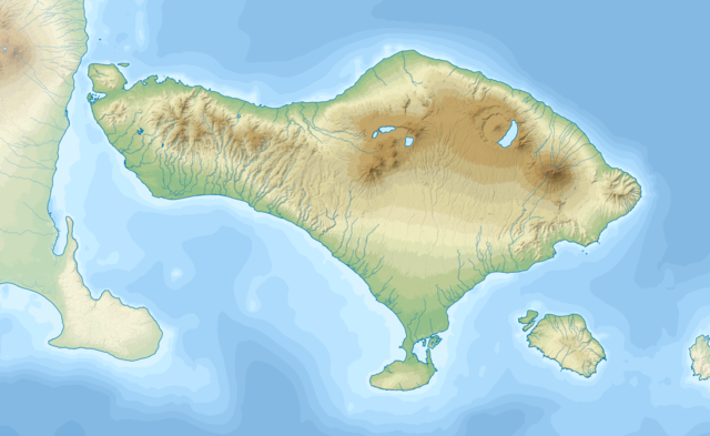
| kasamtangan | 15:05, 1 Nobiyembre 2018 | | 2,048 × 1,259 (1.31 MB) | RXerself | cropped |
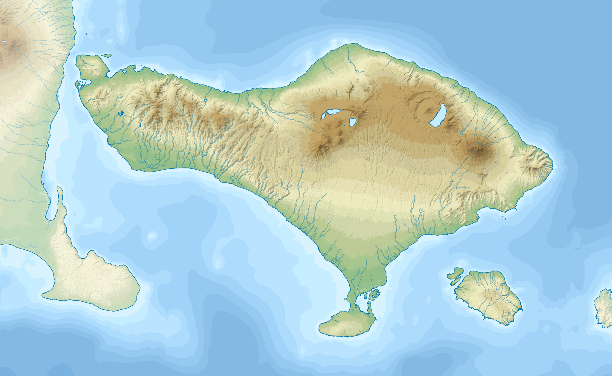
| 14:14, 1 Nobiyembre 2018 |  | 3,000 × 1,800 (2.79 MB) | RXerself | {{Map |Description= * {{id|Peta topografi Pulau {{W|Bali||id}}.}} * {{en|Topographic map of {{W|Bali}} in Indonesian.}} |Source= {{columns|2| {{id|Karya sendiri; * Topografi: [https://lpdaac.usgs.gov/node/527 NASA SRTMGL1 V003] (domain publik) * Batimetri: [https://www.gebco.net/data_and_products/gridded_bathymetry_data/gebco_30_second_grid/ GEBCO 30 arc-second grid] (domain publik), di-''resample'' menggunakan [https://qgis.org/en/site/ QGIS] * Garis pantai: © Kontributor [http://www.openst... |
Mga paggamit sa payl
Ang mosunod nga mga panid misumpay niining payl:
Global nga paggamit sa payl
Kining ubang wiki naggamit ning maong payl:
- Paggamit sa ban.wikipedia.org
- Paggamit sa bn.wikipedia.org
- Paggamit sa en.wikipedia.org
- Paggamit sa eo.wikipedia.org
- Paggamit sa es.wikipedia.org
- Paggamit sa nl.wikipedia.org
- Ubud (plaats)
- Kuta (Badung)
- Pura Besakih
- Sanur (Indonesië)
- Denpasar
- Nusa Dua
- Tulamben
- Menjangan
- Pemuteran
- Pantai Lovina
- Sayan (Bali)
- Singaraja
- Jimbaran
- Pura Meduwe Karang
- Pura Taman Ayun
- Klungkung (paleis)
- Batubulan
- Pura Ulun Danu Batur
- Candidasa
- Tenganan
- Sjabloon:Positiekaart Bali
- Bedugul
- Cengiling
- Gelgel
- Julah
View more global usage of this file.