
Payl:Black Hill (Peak District).jpg
Gidak-on ning maong paunang tan-aw: 800 x 600 ka mga piksel. Uban pang mga resoluyon: 320 x 240 ka mga piksel | 640 x 480 ka mga piksel | 1,024 x 768 ka mga piksel | 1,280 x 960 ka mga piksel | 2,048 x 1,536 ka mga piksel.
Tibuok resolusyon (2,048 × 1,536 pixels, size sa payl: 1.16 MB, MIME type: image/jpeg)
.jpg)
Mubong sugid:
| Deskripsyon |
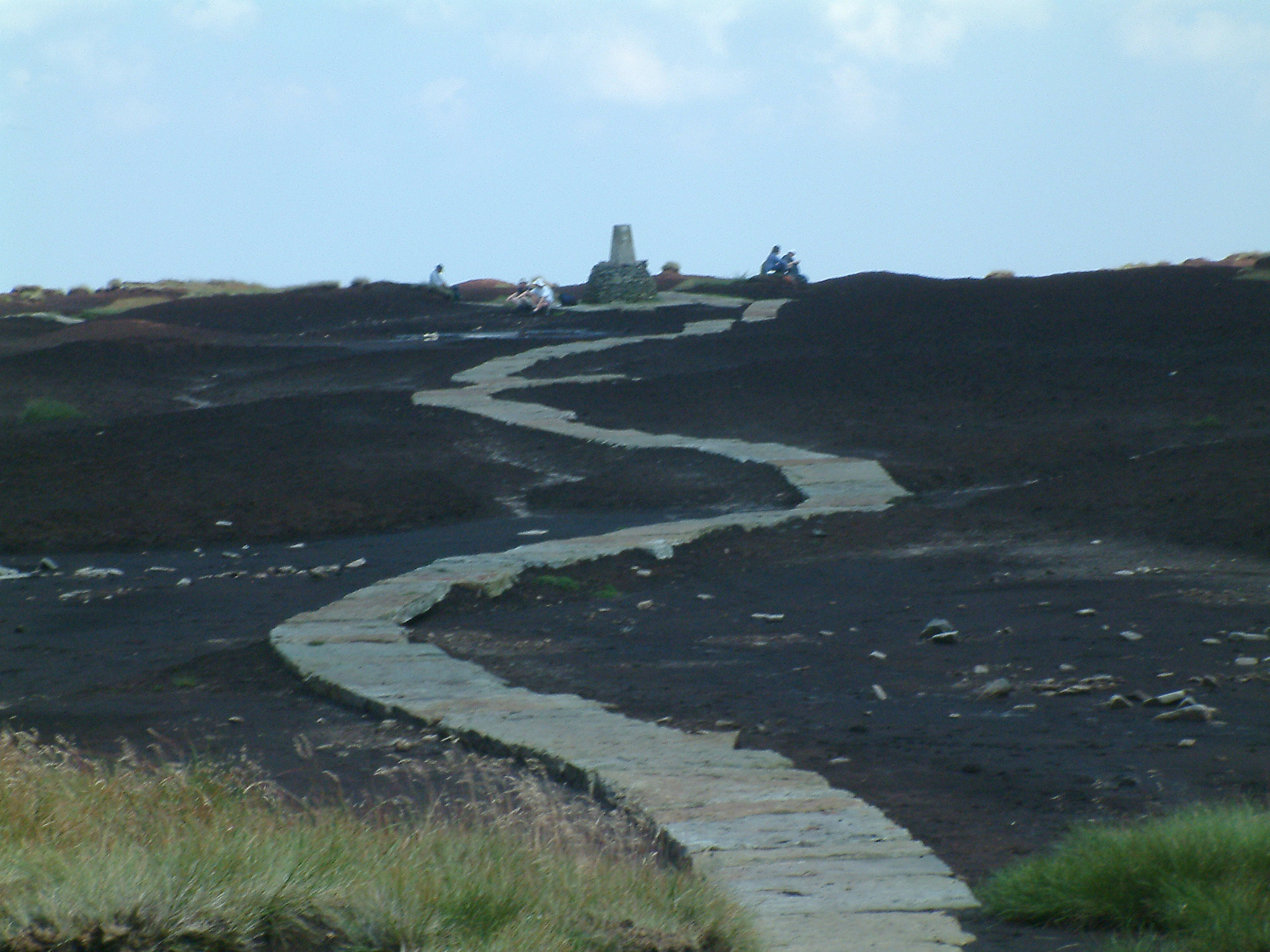
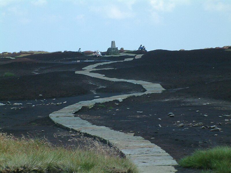
The Pennine Way on the summit of Black Hill (Peak District). The triangulation column and highest point on Black Hill is on a small elevated mound, called Soldiers' Lump. According to Alfred Wainwright's Pennine Way Companion the support timbers for the Ramsden theodolite, used by the Royal Engineers in the original Ordnance Survey, were still to be found here many years later. Photograph by Stephen Dawson 7 August en:2004. |
| Petsa | 6 Pebrero 2005 (original upload date) |
| Gigikanan | Transferred from en.wikipedia to Commons. |
| Tagsulat | The original uploader was StephenDawson at English Wikipedya. |
| Pagtugot (Paggamit pag-usab niini nga file) |
This file is licensed under the Creative Commons Attribution-Share Alike 2.0 Generic license.
|
| Other versions |
| Object location | | View this and other nearby images on: OpenStreetMap |
|---|
.jpg¶ms=053.537000_N_-001.890000_E_globe:Earth_class:object_type:object_source:geograph-osgb36(SE0704)_region:GB-ENG_&language=ceb)
Original upload log
The original description page was here. All following user names refer to en.wikipedia.
- 2005-02-06 21:06 StephenDawson 2048×1536×8 (1218950 bytes) Pennine Way on the summit of Black Hill (Peak District)
Kaagi sa payl
I-klik ang petsa/oras aron makit-an ang hulagway sa payl niadtong panahona.
| Petsa/Takna | Thumbnail | Mga dimensyon | Tiggamit | Komento | |
|---|---|---|---|---|---|
| kasamtangan | 23:31, 1 Septiyembre 2007 | | 2,048 × 1,536 (1.16 MB) | Responsible? | {{Information |Description=The Pennine Way on the summit of Black Hill (Peak District). The triangulation column and highest point on Black Hill is on a small elevated mound, called Soldiers' Lump. According to Alfred Wainwright's ''Pennine Way Companion' |
Mga paggamit sa payl
Ang mosunod nga mga panid misumpay niining payl:
Global nga paggamit sa payl
Kining ubang wiki naggamit ning maong payl:
- Paggamit sa arz.wikipedia.org
- Paggamit sa da.wikipedia.org
- Paggamit sa de.wiktionary.org
- Paggamit sa en.wikipedia.org
- Paggamit sa en.wikivoyage.org
- Paggamit sa fr.wikipedia.org
- Paggamit sa nn.wikipedia.org
- Paggamit sa sv.wikipedia.org
- Paggamit sa www.wikidata.org
.jpg)