
Payl:Blank map of the Northern Cape (2016).svg

Size of this PNG preview of this SVG file: 585 x 599 ka mga piksel. Uban pang mga resoluyon: 234 x 240 ka mga piksel | 469 x 480 ka mga piksel | 750 x 768 ka mga piksel | 1,000 x 1,024 ka mga piksel | 1,999 x 2,048 ka mga piksel | 699 x 716 ka mga piksel.
Tibuok resolusyon (SVG nga payl, nominally 699 × 716 pixels, size sa payl: 513 KB)
.svg)
Mubong sugid:
| Deskripsyon |
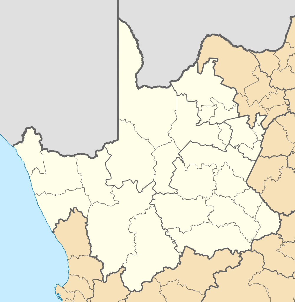
English: Blank map of the Northern Cape province of South Africa, with municipal boundaries as they are after the municipal elections of 3 August 2016. Equirectangular projection; map shows 16° to 26° E and 24.25° to 33.25° S. |
| Petsa | |
| Gigikanan | Kaugalingong trabaho |
| Tagsulat | Htonl |
Pagtugot
I, the copyright holder of this work, hereby publish it under the following licenses:

|
Gitugot ang pagkopya, pag-apud-apod o/ug pag-usab ning maong dokumento ubos sa mga termino sa GNU Free Documentation License, Version 1.2 o mas bag-ong bersiyon nga gimantala sa Free Software Foundation; nga walay Invariant Sections, walay Front-Cover Texts, ug walay Back-Cover Texts. Ang kopya sa lisensiya gilakip sa bahin nga giulohang GNU Free Documentation License. |
This file is licensed under the Creative Commons Attribution-Share Alike Attribution-Share Alike 4.0 International, 3.0 Unported, 2.5 Generic, 2.0 Generic and 1.0 Generic license.
- Libre ka:
- sa pagsabwag – sa pagkopya, pag-apod-apod ug pagsabwag sa hinimo
- sa pag-remix – sa pag-adap sa binuhat
- Ubos sa mosunod nga mga kondisyon:
- atribusyon – Kinahanglan nimo nga hatagan ang angay nga kredito, maghatag usa ka link sa lisensya, ug ipakita kung adunay mga pagbag-o. Mahimo nimo kini buhaton sa bisan unsang makatarunganon nga paagi, apan dili sa bisan unsang paagi nga nagsugyot nga gi-endorso ka sa licensor o ang imong paggamit.
- share parehas – Kung imong gi-remix, gibag-o, o gibase sa materyal, kinahanglan nimo nga iapod-apod ang imong mga kontribusyon sa ilawom sa parehas o katugma nga lisensya sama sa orihinal.
You may select the license of your choice.
Kaagi sa payl
I-klik ang petsa/oras aron makit-an ang hulagway sa payl niadtong panahona.
| Petsa/Takna | Thumbnail | Mga dimensyon | Tiggamit | Komento | |
|---|---|---|---|---|---|
| kasamtangan | 01:28, 18 Agosto 2016 | | 699 × 716 (513 KB) | Htonl | == {{int:filedesc}} == {{Information |Description ={{en|1=Blank map of the Northern Cape province of South Africa, with municipal boundaries as they are after the municipal elections of 3 August 2016. Equ... |
Mga paggamit sa payl
There are no pages that use this file.
Global nga paggamit sa payl
Kining ubang wiki naggamit ning maong payl:
- Paggamit sa cs.wikipedia.org
- Paggamit sa de.wikipedia.org
- Paggamit sa en.wikipedia.org
- Paggamit sa fa.wikipedia.org
- Paggamit sa id.wikipedia.org
.svg)