
Payl:Cape Verde location map.svg

Size of this PNG preview of this SVG file: 504 x 441 ka mga piksel. Uban pang mga resoluyon: 274 x 240 ka mga piksel | 549 x 480 ka mga piksel | 878 x 768 ka mga piksel | 1,170 x 1,024 ka mga piksel | 2,341 x 2,048 ka mga piksel.
Tibuok resolusyon (SVG nga payl, nominally 504 × 441 pixels, size sa payl: 83 KB)
Mubong sugid:
| Deskripsyon |
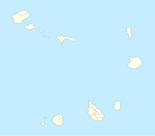
Deutsch: Positionskarte von Kap Verde
Quadratische Plattkarte. Geographische Begrenzung der Karte:
English: Location map of Cape Verde
Equirectangular projection. Geographic limits of the map:
|
| Petsa | 10-08-2008 |
| Gigikanan | own work, using *World Data Base II data |
| Tagsulat | NordNordWest |

|
This map has been made or improved in the German Kartenwerkstatt (Map Lab). You can propose maps to improve as well.
|
Pagtugot
I, the copyright holder of this work, hereby publish it under the following licenses:

|
Gitugot ang pagkopya, pag-apud-apod o/ug pag-usab ning maong dokumento ubos sa mga termino sa GNU Free Documentation License, Version 1.2 o mas bag-ong bersiyon nga gimantala sa Free Software Foundation; nga walay Invariant Sections, walay Front-Cover Texts, ug walay Back-Cover Texts. Ang kopya sa lisensiya gilakip sa bahin nga giulohang GNU Free Documentation License. |
This file is licensed under the Creative Commons Attribution-Share Alike 3.0 Unported license.
- Libre ka:
- sa pagsabwag – sa pagkopya, pag-apod-apod ug pagsabwag sa hinimo
- sa pag-remix – sa pag-adap sa binuhat
- Ubos sa mosunod nga mga kondisyon:
- atribusyon – Kinahanglan nimo nga hatagan ang angay nga kredito, maghatag usa ka link sa lisensya, ug ipakita kung adunay mga pagbag-o. Mahimo nimo kini buhaton sa bisan unsang makatarunganon nga paagi, apan dili sa bisan unsang paagi nga nagsugyot nga gi-endorso ka sa licensor o ang imong paggamit.
- share parehas – Kung imong gi-remix, gibag-o, o gibase sa materyal, kinahanglan nimo nga iapod-apod ang imong mga kontribusyon sa ilawom sa parehas o katugma nga lisensya sama sa orihinal.
You may select the license of your choice.
Kaagi sa payl
I-klik ang petsa/oras aron makit-an ang hulagway sa payl niadtong panahona.
| Petsa/Takna | Thumbnail | Mga dimensyon | Tiggamit | Komento | |
|---|---|---|---|---|---|
| kasamtangan | 18:35, 7 Enero 2009 | | 504 × 441 (83 KB) | NordNordWest | |
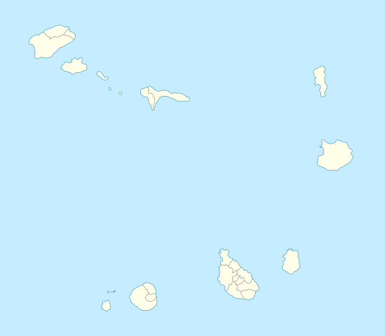
| 19:42, 10 Agosto 2008 |  | 504 × 441 (41 KB) | NordNordWest | {{Information |Description= {{de|Positionskarte von Kap Verde}} Quadratische Plattkarte. Geographische Begrenzung der Karte: * N: 17.4° N * S: 14.6° N * W: 25.6° W * O: 22.4° W {{en|Location map of Cape Verde}} Equ |
Mga paggamit sa payl
More than 100 pages use this file. The following list shows the first 100 pages that use this file only. A full list is available.
- Baía da Ribeirinha
- Baía de São Pedro
- Baía do Tarrafal
- Boa Vista
- Cap Vert
- Carvoeiros
- Fogo
- Fogo Island
- Ilha de Maio
- Ilha de São Tiago
- Ilha de São Vicente
- Ilhéu Grande
- Ilhéu dos Pássaros
- Laje Branca
- Luz
- Maio
- Mindelo
- Monte Costa
- Monte Pedroso
- Monte Pia
- Monte Preto
- Monte Rosa
- Monte Sobrado
- Monte Verde
- Morro Branco
- North Point
- Pico Queimado
- Picos
- Pikus
- Pombas
- Ponta Branca
- Ponta Grande
- Ponta Jalunga
- Ponta Lacacão
- Ponta Leão
- Ponta Norte
- Ponta Pedrinha
- Ponta Prainha
- Ponta Preta
- Ponta Salina
- Ponta Vermelha
- Ponta da Areia
- Ponta da Baleia
- Ponta da Cruz
- Ponta da Praia
- Ponta da Praia Grande
- Ponta da Salina
- Ponta da Vigia
- Ponta das Salinas
- Ponta de Santa Clara
- Ponta de Santa Luzia
- Ponta de São Lourenço
- Ponta do Curral
- Ponta do Espia
- Ponta do Lobo
- Ponta do Morro
- Ponta do Papagaio
- Ponta do Pesqueiro
- Ponta do Portinho
- Ponta do Rabil
- Ponta do Sino
- Ponta do Sol
- Ponta do Sul
- Ponta do Tubarão
- Ponta dos Tarafes
- Pontinha
- Porto Ferreira
- Porto Grande
- Porto Inglez
- Porto Novo
- Porto Velho
- Porto do Mangue
- Praia
- Praia Grande
- Praya (pagklaro)
- Ribeira Brava
- Ribeira Grande
- Ribeira da Prata
- Ribeira das Patas
- Ribeira das Pedras
- Ribeira do Paul
- Ribeira do Salto
- Sal Island
- Santa Catarina
- Santa Cruz
- Santa Luzia
- Santa Maria (pagklaro)
- Santiago (pagklaro)
- Santo Antão
- Sao Domingos
- South Point
- São Domingos
- São Filipe
- São Miguel
- São Tiago
- São Vicente
- Tarrafal
- Tarrafal de São Nicolau
- Topona
- Viana
View more links to this file.
Global nga paggamit sa payl
Kining ubang wiki naggamit ning maong payl:
- Paggamit sa af.wikipedia.org
- Paggamit sa an.wikipedia.org
- Paggamit sa ar.wikipedia.org
- Paggamit sa ast.wikipedia.org
- Paggamit sa az.wikipedia.org
- Paggamit sa ba.wikipedia.org
- Paggamit sa be-tarask.wikipedia.org
- Paggamit sa be.wikipedia.org
- Paggamit sa bg.wikipedia.org
- Paggamit sa bh.wikipedia.org
- Paggamit sa bn.wikipedia.org
- Paggamit sa bs.wikipedia.org
- Paggamit sa ca.wikipedia.org
View more global usage of this file.