
Payl:Checkerbloom, Bay Area.jpg
Gidak-on ning maong paunang tan-aw: 800 x 600 ka mga piksel. Uban pang mga resoluyon: 320 x 240 ka mga piksel | 640 x 480 ka mga piksel | 1,024 x 768 ka mga piksel | 1,280 x 960 ka mga piksel | 1,600 x 1,200 ka mga piksel.
Tibuok resolusyon (1,600 × 1,200 pixels, size sa payl: 537 KB, MIME type: image/jpeg)
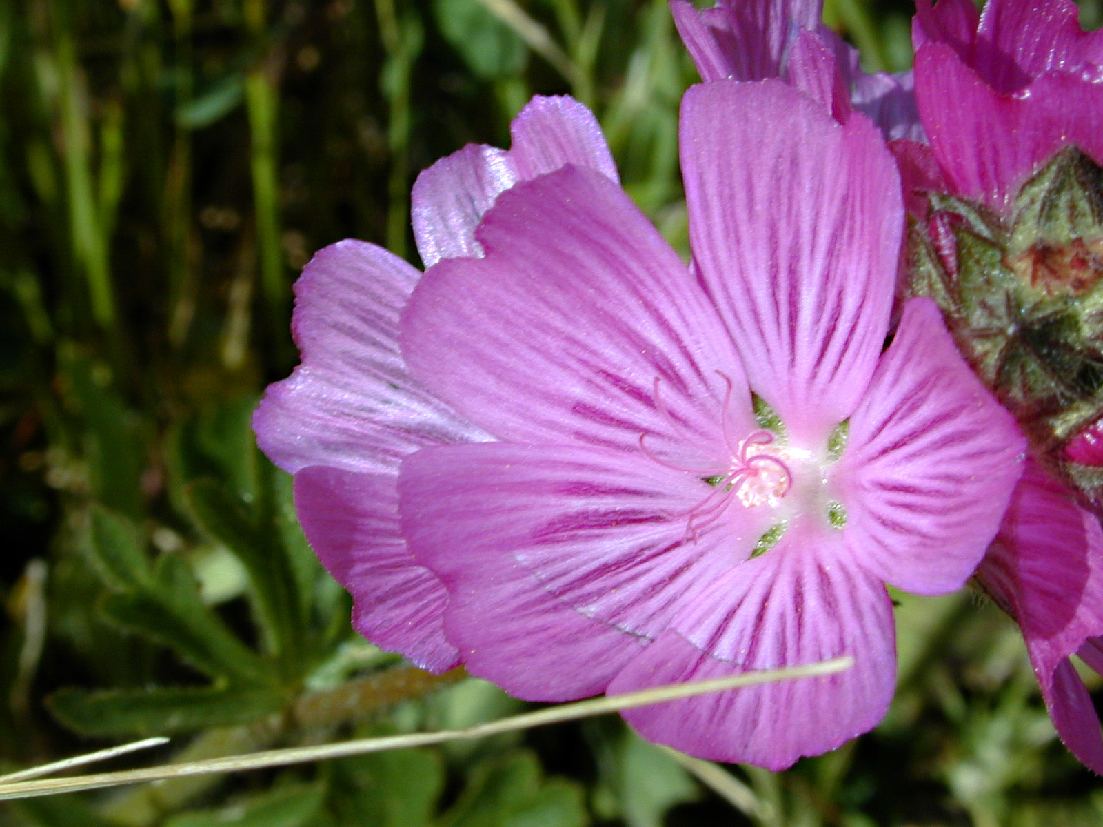
| Deskripsyon | Checkerbloom, Sidalcea malviflora. Found along the footpath between the parking lot and Canyon Trail in a grassland on the south face of a hill at Monte Bello Open Space Preserve. Same plant as this shot. (CalPhotos) (Bay Area Hiker) (Geotagged) |
| Petsa | Taken on 1 Mayo 2005, 15:36 |
| Gigikanan | Checkerbloom |
| Tagsulat | Dawn Endico from Menlo Park, California |
| Camera location | | View this and other nearby images on: OpenStreetMap |
|---|
Pagtugot
This file is licensed under the Creative Commons Attribution-Share Alike 2.0 Generic license.
- Libre ka:
- sa pagsabwag – sa pagkopya, pag-apod-apod ug pagsabwag sa hinimo
- sa pag-remix – sa pag-adap sa binuhat
- Ubos sa mosunod nga mga kondisyon:
- atribusyon – Kinahanglan nimo nga hatagan ang angay nga kredito, maghatag usa ka link sa lisensya, ug ipakita kung adunay mga pagbag-o. Mahimo nimo kini buhaton sa bisan unsang makatarunganon nga paagi, apan dili sa bisan unsang paagi nga nagsugyot nga gi-endorso ka sa licensor o ang imong paggamit.
- share parehas – Kung imong gi-remix, gibag-o, o gibase sa materyal, kinahanglan nimo nga iapod-apod ang imong mga kontribusyon sa ilawom sa parehas o katugma nga lisensya sama sa orihinal.
| This image, originally posted to Flickr, was reviewed on June 3, 2009 by the administrator or reviewer File Upload Bot (Magnus Manske), who confirmed that it was available on Flickr under the stated license on that date. |
[[Category:Midpeninsula Regional Open Space District]
Kaagi sa payl
I-klik ang petsa/oras aron makit-an ang hulagway sa payl niadtong panahona.
| Petsa/Takna | Thumbnail | Mga dimensyon | Tiggamit | Komento | |
|---|---|---|---|---|---|
| kasamtangan | 02:46, 3 Hunyo 2009 | | 1,600 × 1,200 (537 KB) | File Upload Bot (Magnus Manske) | {{Information |Description= Found along the footpath between the parking lot and Canyon Trail in a grassland on the south face of a hill at [http://www.openspace.org/preserves/pr_monte_bello.asp Monte Bello Open Space Preserve]. Same plant as [http://ww |
Mga paggamit sa payl
Ang mosunod nga mga panid misumpay niining payl:
Global nga paggamit sa payl
Kining ubang wiki naggamit ning maong payl:
- Paggamit sa ar.wikipedia.org
- Paggamit sa en.wikipedia.org
- Paggamit sa ru.wikipedia.org
- Paggamit sa sv.wikipedia.org