
Payl:Egypt Sinai location map.svg

Tibuok resolusyon (SVG nga payl, nominally 499 × 796 pixels, size sa payl: 219 KB)
Mubong sugid:
| Deskripsyon |
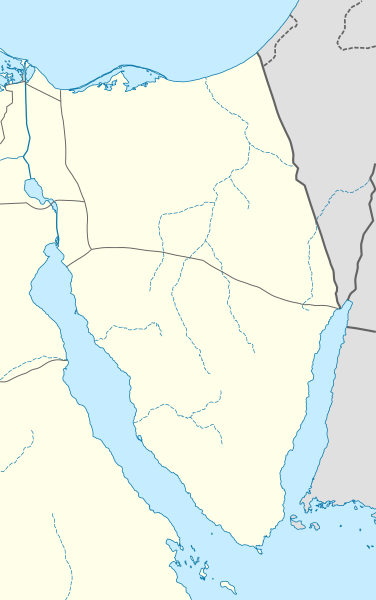
Quadratische Plattkarte, N-S-Streckung 115 %. Geographische Begrenzung der Karte:
Equirectangular projection, N/S stretching 115 %. Geographic limits of the map:
|
|
| Petsa | ||
| Gigikanan |
Kaugalingong trabaho, using
|
|
| Tagsulat | NordNordWest | |
| Pagtugot (Paggamit pag-usab niini nga file) |
This file is licensed under the Creative Commons Attribution-Share Alike 3.0 Germany license.
 This file is licensed under the Creative Commons Attribution-Share Alike 3.0 Germany license.
|


|
This map has been made or improved in the German Kartenwerkstatt (Map Lab). You can propose maps to improve as well.
|
Kaagi sa payl
I-klik ang petsa/oras aron makit-an ang hulagway sa payl niadtong panahona.
| Petsa/Takna | Thumbnail | Mga dimensyon | Tiggamit | Komento | |
|---|---|---|---|---|---|
| kasamtangan | 19:12, 23 Pebrero 2010 | | 499 × 796 (219 KB) | NordNordWest | =={{int:filedesc}}== {{Information |Description= {{de|Positionskarte der Sinai-Halbinsel, Ägypten}} Quadratische Plattkarte, N-S-Streckung 115 %. Geographische Begrenzung der Karte: * N: 31.7° N * S: 27.4° N * W |
Mga paggamit sa payl
Ang mosunod nga mga panid misumpay niining payl:
Global nga paggamit sa payl
Kining ubang wiki naggamit ning maong payl:
- Paggamit sa ar.wikipedia.org
- Paggamit sa azb.wikipedia.org
- Paggamit sa az.wikipedia.org
- Paggamit sa ba.wikipedia.org
- Paggamit sa bg.wikipedia.org
- Paggamit sa bh.wikipedia.org
- Paggamit sa ckb.wikipedia.org
- Paggamit sa cs.wikipedia.org
- Paggamit sa da.wikipedia.org
- Paggamit sa de.wikipedia.org
- Paggamit sa de.wikivoyage.org
- ʿArīsch
- Dahab
- Ṭōr
- Nuweiba
- Scharm esch-Scheich
- Sarābīṭ el-Chādim
- Ṭābā
- Golf von Sues
- Thistlegorm
- Raʾs Sudr
- Nabq Bay
- Raʾs Naṣrānī
- Shark’s Bay
- Tiger Bay
- Gardens Bay
- Naʿama Bay
- Tower Bay und Ḥaiy en-Nūr
- Old Sharm
- Nabq-Naturschutzgebiet
- Haḍabat Umm es-Sīd
- Katharinenkloster (Sinai)
- Moses-Berg
- Katharinenberg (Sinai)
View more global usage of this file.