
Payl:Fall in Utah (15719143625).jpg

Gidak-on ning maong paunang tan-aw: 800 x 533 ka mga piksel. Uban pang mga resoluyon: 320 x 213 ka mga piksel | 640 x 426 ka mga piksel | 1,024 x 682 ka mga piksel | 1,280 x 852 ka mga piksel | 2,560 x 1,704 ka mga piksel | 5,456 x 3,632 ka mga piksel.
Tibuok resolusyon (5,456 × 3,632 pixels, size sa payl: 8.32 MB, MIME type: image/jpeg)
.jpg)
Mubong sugid:
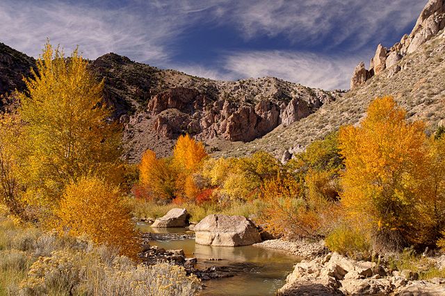
| Deskripsyon | After a long drive through a deserted, dry landscape I was surprised to spot that scenery. |
| Petsa | Taken on 14 Oktubre 2014, 14:33 |
| Gigikanan | Fall in Utah |
| Tagsulat | PiConsti |
| Camera location | | View this and other nearby images on: OpenStreetMap |
|---|
.jpg¶ms=038.569449_N_-112.263439_E_globe:Earth_type:camera_source:Flickr_&language=ceb)
Pagtugot
This file is licensed under the Creative Commons Attribution-Share Alike 2.0 Generic license.
- Libre ka:
- sa pagsabwag – sa pagkopya, pag-apod-apod ug pagsabwag sa hinimo
- sa pag-remix – sa pag-adap sa binuhat
- Ubos sa mosunod nga mga kondisyon:
- atribusyon – Kinahanglan nimo nga hatagan ang angay nga kredito, maghatag usa ka link sa lisensya, ug ipakita kung adunay mga pagbag-o. Mahimo nimo kini buhaton sa bisan unsang makatarunganon nga paagi, apan dili sa bisan unsang paagi nga nagsugyot nga gi-endorso ka sa licensor o ang imong paggamit.
- share parehas – Kung imong gi-remix, gibag-o, o gibase sa materyal, kinahanglan nimo nga iapod-apod ang imong mga kontribusyon sa ilawom sa parehas o katugma nga lisensya sama sa orihinal.
| This image was originally posted to Flickr by PiConsti at https://flickr.com/photos/115785168@N08/15719143625. It was reviewed on 23 Mayo 2016 by FlickreviewR and was confirmed to be licensed under the terms of the cc-by-sa-2.0. |
Kaagi sa payl
I-klik ang petsa/oras aron makit-an ang hulagway sa payl niadtong panahona.
| Petsa/Takna | Thumbnail | Mga dimensyon | Tiggamit | Komento | |
|---|---|---|---|---|---|
| kasamtangan | 11:10, 23 Mayo 2016 | | 5,456 × 3,632 (8.32 MB) | Framawiki | Transferred from Flickr via Flickr2Commons |
Mga paggamit sa payl
Ang mosunod nga mga panid misumpay niining payl:
Global nga paggamit sa payl
Kining ubang wiki naggamit ning maong payl:
- Paggamit sa en.wikipedia.org
- Paggamit sa he.wikipedia.org
- Paggamit sa www.wikidata.org
.jpg)