
Payl:Guyana location map.svg

Size of this PNG preview of this SVG file: 407 x 599 ka mga piksel. Uban pang mga resoluyon: 163 x 240 ka mga piksel | 326 x 480 ka mga piksel | 522 x 768 ka mga piksel | 695 x 1,024 ka mga piksel | 1,391 x 2,048 ka mga piksel | 1,252 x 1,843 ka mga piksel.
Tibuok resolusyon (SVG nga payl, nominally 1,252 × 1,843 pixels, size sa payl: 293 KB)
Mubong sugid:
| Deskripsyon |
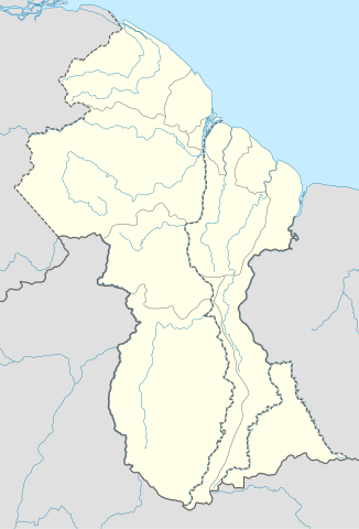
Deutsch: Positionskarte von Guyana
Quadratische Plattkarte. Geographische Begrenzung der Karte:
English: Location map of Guyana
Equirectangular projection. Geographic limits of the map:
|
| Petsa | 02.12.2008 |
| Gigikanan |
own work, using
|
| Tagsulat | NordNordWest |
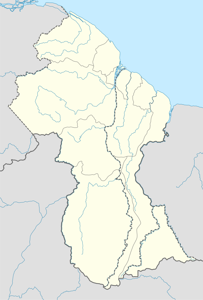
| Other versions | Derivative works of this file: Guyana relief location map.jpg |

|
This map has been made or improved in the German Kartenwerkstatt (Map Lab). You can propose maps to improve as well.
|
Pagtugot
I, the copyright holder of this work, hereby publish it under the following licenses:

|
Gitugot ang pagkopya, pag-apud-apod o/ug pag-usab ning maong dokumento ubos sa mga termino sa GNU Free Documentation License, Version 1.2 o mas bag-ong bersiyon nga gimantala sa Free Software Foundation; nga walay Invariant Sections, walay Front-Cover Texts, ug walay Back-Cover Texts. Ang kopya sa lisensiya gilakip sa bahin nga giulohang GNU Free Documentation License. |
This file is licensed under the Creative Commons Attribution-Share Alike 3.0 Unported license.
- Libre ka:
- sa pagsabwag – sa pagkopya, pag-apod-apod ug pagsabwag sa hinimo
- sa pag-remix – sa pag-adap sa binuhat
- Ubos sa mosunod nga mga kondisyon:
- atribusyon – Kinahanglan nimo nga hatagan ang angay nga kredito, maghatag usa ka link sa lisensya, ug ipakita kung adunay mga pagbag-o. Mahimo nimo kini buhaton sa bisan unsang makatarunganon nga paagi, apan dili sa bisan unsang paagi nga nagsugyot nga gi-endorso ka sa licensor o ang imong paggamit.
- share parehas – Kung imong gi-remix, gibag-o, o gibase sa materyal, kinahanglan nimo nga iapod-apod ang imong mga kontribusyon sa ilawom sa parehas o katugma nga lisensya sama sa orihinal.
You may select the license of your choice.
Kaagi sa payl
I-klik ang petsa/oras aron makit-an ang hulagway sa payl niadtong panahona.
| Petsa/Takna | Thumbnail | Mga dimensyon | Tiggamit | Komento | |
|---|---|---|---|---|---|
| kasamtangan | 17:03, 15 Septiyembre 2017 | | 1,252 × 1,843 (293 KB) | Milenioscuro | corrected disputed border with Venezuela |
| 04:09, 28 Septiyembre 2013 |  | 1,252 × 1,843 (342 KB) | Unukalhai | Reverted to version as of 04:34, 16 October 2012 | |
| 12:36, 24 Pebrero 2013 |  | 1,252 × 1,843 (341 KB) | Wester | Reverted to version as of 19:53, 2 December 2008 | |
| 04:34, 16 Oktubre 2012 |  | 1,252 × 1,843 (342 KB) | Unukalhai | Including disputed area by Venezuela, the same way wich the surinamese one appears in the map. http://treaties.un.org/pages/showDetails.aspx?objid=080000028012b96f | |
| 19:53, 2 Disyembre 2008 |  | 1,252 × 1,843 (341 KB) | NordNordWest | {{Information |Description= {{de|Positionskarte von Guyana}} Quadratische Plattkarte. Geographische Begrenzung der Karte: * N: 8.7° N * S: 0.9° N * W: 61.6° W * O: 56.3° W {{en|Location map of Guyana}} Equirectangular pro |
Mga paggamit sa payl
More than 100 pages use this file. The following list shows the first 100 pages that use this file only. A full list is available.
- Bamboo
- Big Fall
- Bird Island
- Bird Point
- Black Creek
- Blackwater Creek
- Blue Creek
- Blue Mountain
- Blue River
- Breakfast Point
- Buck Island
- Charity
- Cone Hill
- Crab Creek
- Deer Creek
- Devil Creek
- Dog Point
- Dome Hill
- Duck Creek
- Duck Island
- Elang River
- Falls Creek
- Fish Creek
- Flag Island
- George Creek
- Georgetown
- Gold Creek
- Grass Islands
- Green Hill
- Hog Island
- Jacobs Ladder
- Kama
- Kasi
- King Edward River
- Laba Island
- Lama (pagklaro)
- Lama Creek
- Lama River
- Lena Creek
- Long Fall
- Long Swamp
- Louisa Creek
- Mackenzie Creek
- Mango Creek
- Mappa Lake
- Mariba
- Matara Creek
- Matope River
- Matthews Ridge
- Middle Bank
- Middle Channel
- Middle Ground
- Monkey Creek
- Monkey Falls
- Morong River
- Mosquito Creek
- New River
- North Fork
- Oko
- Oring Creek
- Palm Creek
- Parker
- Pigeon Island
- Pipe Creek
- Primrose Hill
- Prospect Creek
- Red Cliffs
- Red Creek
- Red Hill
- Rock Island
- Rock Point
- Rocky Creek
- Rocky River
- Sail Rock
- Saint John’s
- Salt Creek
- Sam Island
- Sand Creek
- Sand Island
- Santa Barbara Creek
- Santa Maria (pagklaro)
- Santa Rosa
- Sardine Creek
- Sawmill Creek
- Sheep Island
- Ship Channel
- Smith
- Smith Creek
- Susan Island
- Takatu
- The Peak
- Thompson Creek
- Tiger Creek
- Tiger Island
- Two Brothers Islands
- Wallace Rock
- Waterloo Creek
- West Channel
- White Cliff
- White River
View more links to this file.
Global nga paggamit sa payl
Kining ubang wiki naggamit ning maong payl:
- Paggamit sa af.wikipedia.org
- Paggamit sa an.wikipedia.org
- Paggamit sa ar.wikipedia.org
- Paggamit sa ast.wikipedia.org
- Paggamit sa az.wikipedia.org
- Paggamit sa ba.wikipedia.org
- Paggamit sa be-tarask.wikipedia.org
- Paggamit sa be.wikipedia.org
- Paggamit sa bg.wikipedia.org
- Paggamit sa bn.wikipedia.org
- Paggamit sa bs.wikipedia.org
- Paggamit sa ce.wikipedia.org
- Paggamit sa ckb.wikipedia.org
- Paggamit sa cs.wikipedia.org
- Paggamit sa da.wikipedia.org
- Paggamit sa de.wikipedia.org
View more global usage of this file.