
Payl:Haute-Normandie region location map.svg

Size of this PNG preview of this SVG file: 465 x 600 ka mga piksel. Uban pang mga resoluyon: 186 x 240 ka mga piksel | 372 x 480 ka mga piksel | 595 x 768 ka mga piksel | 794 x 1,024 ka mga piksel | 1,587 x 2,048 ka mga piksel | 969 x 1,250 ka mga piksel.
Tibuok resolusyon (SVG nga payl, nominally 969 × 1,250 pixels, size sa payl: 377 KB)
Mubong sugid:
| Camera location | | View this and other nearby images on: OpenStreetMap |
|---|
| Deskripsyon |
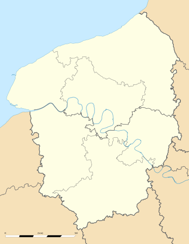
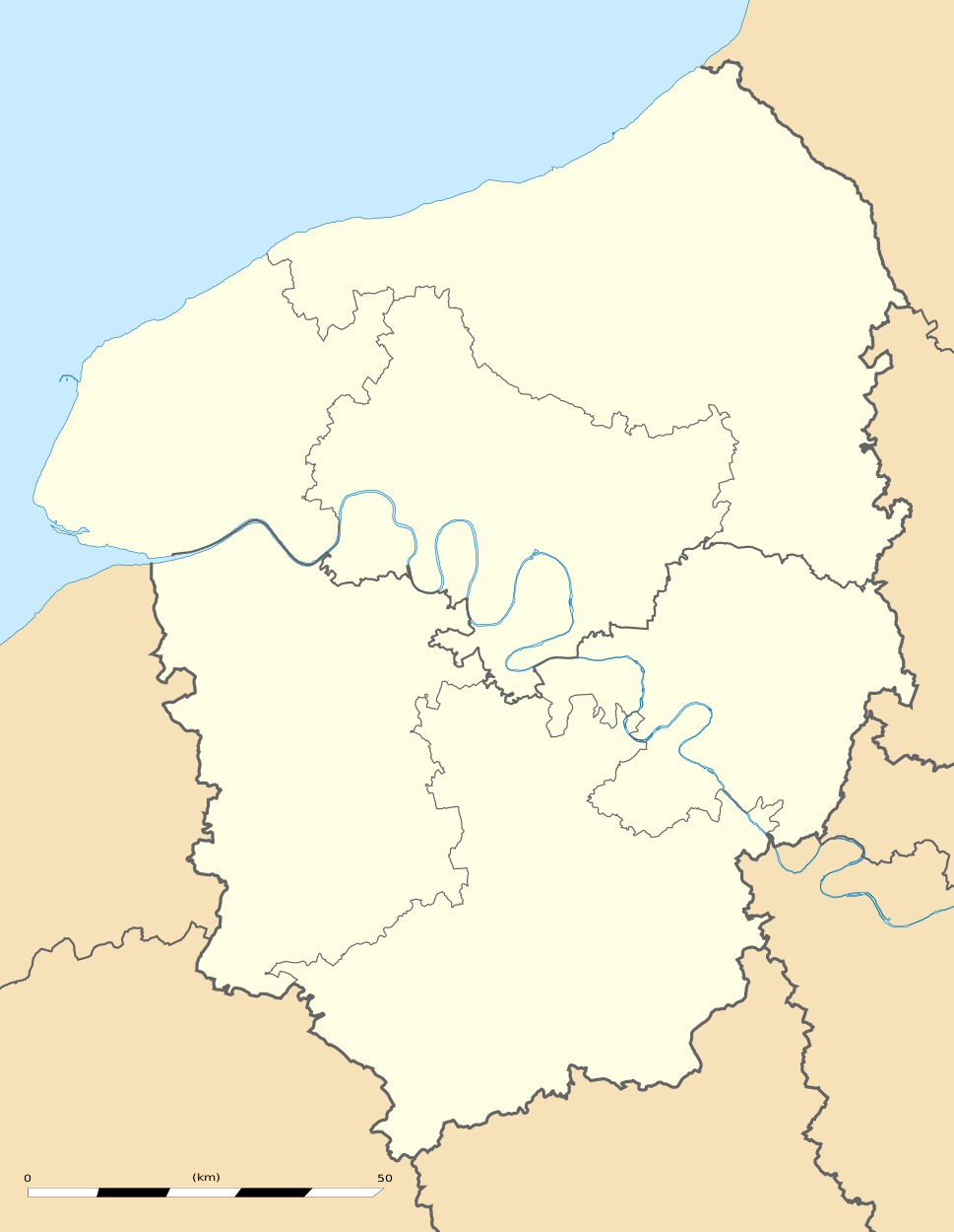
English: Blank administrative map of the region of Upper Normandy, France, for geo-location purpose, with distinct boundaries for regions, departments and arrondissements.
Français : Carte administrative vierge de la région de Haute-Normandie, France, destinée à la géolocalisation, avec limite distincte des régions, départements et arrondissements. Estimated scale: 1:560,000 (precision: 140 m)
Geographic limits of the map:
|
||
| Petsa | |||
| Gigikanan |
Kaugalingong trabaho
|
||
| Tagsulat | Eric Gaba (Sting - fr:Sting) | ||
| Pagtugot (Paggamit pag-usab niini nga file) |
|
||
| Other versions |
|

Pagtugot
Eric Gaba, Wikimedia Commons user Sting, the copyright holder of this work, hereby publishes it under the following license:
This file is licensed under the Creative Commons Attribution-Share Alike 3.0 Unported license.
Attribution: Eric Gaba, Wikimedia Commons user Sting
- Libre ka:
- sa pagsabwag – sa pagkopya, pag-apod-apod ug pagsabwag sa hinimo
- sa pag-remix – sa pag-adap sa binuhat
- Ubos sa mosunod nga mga kondisyon:
- atribusyon – Kinahanglan nimo nga hatagan ang angay nga kredito, maghatag usa ka link sa lisensya, ug ipakita kung adunay mga pagbag-o. Mahimo nimo kini buhaton sa bisan unsang makatarunganon nga paagi, apan dili sa bisan unsang paagi nga nagsugyot nga gi-endorso ka sa licensor o ang imong paggamit.
- share parehas – Kung imong gi-remix, gibag-o, o gibase sa materyal, kinahanglan nimo nga iapod-apod ang imong mga kontribusyon sa ilawom sa parehas o katugma nga lisensya sama sa orihinal.
Kaagi sa payl
I-klik ang petsa/oras aron makit-an ang hulagway sa payl niadtong panahona.
| Petsa/Takna | Thumbnail | Mga dimensyon | Tiggamit | Komento | |
|---|---|---|---|---|---|
| kasamtangan | 17:05, 10 Marso 2010 | | 969 × 1,250 (377 KB) | Sting | == {{int:filedesc}} == {{Location|49|21|45|N|00|56|15|E|scale:500000}} <br/> {{Information |Description={{en|Blank administrative map of the region of Upper Normandy, France, for geo-location purpose, with distinct boundaries for re |
Mga paggamit sa payl
Ang mosunod nga 2 panid misumpay niining payl:
Global nga paggamit sa payl
Kining ubang wiki naggamit ning maong payl:
- Paggamit sa ar.wikipedia.org
- Paggamit sa bg.wikipedia.org
- Paggamit sa ca.wikipedia.org
- Paggamit sa cs.wikipedia.org
- Paggamit sa de.wikipedia.org
- Paggamit sa el.wikipedia.org
- Paggamit sa en.wikipedia.org
- Paggamit sa eo.wikipedia.org
- Paggamit sa es.wikipedia.org
- Paggamit sa fa.wikipedia.org
- Paggamit sa fr.wikipedia.org
- Pont de Brotonne
- École supérieure de commerce de Rouen
- Patinoire de l'Île Lacroix
- Salle des Cotonniers
- Stade Jules-Deschaseaux
- Université de Rouen-Normandie
- Aéroport Rouen Vallée de Seine
- Stade Maurice-Thoumyre
- Stade des Vertus
- Hippodrome de Rouen-Mauquenchy
- Centre commercial de Tourville-la-Rivière
- Palais des sports de Rouen
- Grand port maritime du Havre
- Stade de la Cavée verte
- Stade Marcel-Billard
- Académie de Rouen (éducation)
- Square Marcel-Halbout
- Projet:Cartographie/Cartes standards/France
- Parc de découverte Eana
- Institut national de la boulangerie pâtisserie
- Chapelle Saint-Michel d'Ingouville
- Modèle:Géolocalisation/Haute-Normandie
- Modèle:Géolocdual/Haute-Normandie
- Golf d'Étretat
- Golf du Vaudreuil
- Golf de Rouen Mont-Saint-Aignan
- Golf de Saint-Saëns
- Golf de Dieppe-Pourville
- Modèle:Géolocalisation/Haute-Normandie/Documentation
- Stade Jean-Adret
- Wikipédia:Atelier graphique/Cartes/Archives/juin 2010
- Gare de Turretot - Gonneville
View more global usage of this file.