
Payl:Independent State Of Croatia 1943 Locator Map.png

Gidak-on ning maong paunang tan-aw: 610 x 600 ka mga piksel. Uban pang mga resoluyon: 244 x 240 ka mga piksel | 488 x 480 ka mga piksel | 781 x 768 ka mga piksel | 1,220 x 1,200 ka mga piksel.
Tibuok resolusyon (1,220 × 1,200 pixels, size sa payl: 257 KB, MIME type: image/png)
Mubong sugid:
| Deskripsyon |
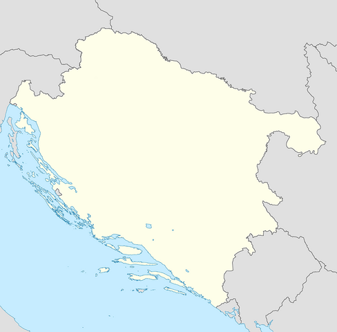
English: Locator Map of the Independent State Of Croatia in 1943 |
| Petsa | |
| Gigikanan | Kaugalingong trabaho |
| Tagsulat | XrysD |
Pagtugot
I, the copyright holder of this work, hereby publish it under the following license:
This file is licensed under the Creative Commons Attribution-Share Alike 3.0 Unported license.
- Libre ka:
- sa pagsabwag – sa pagkopya, pag-apod-apod ug pagsabwag sa hinimo
- sa pag-remix – sa pag-adap sa binuhat
- Ubos sa mosunod nga mga kondisyon:
- atribusyon – Kinahanglan nimo nga hatagan ang angay nga kredito, maghatag usa ka link sa lisensya, ug ipakita kung adunay mga pagbag-o. Mahimo nimo kini buhaton sa bisan unsang makatarunganon nga paagi, apan dili sa bisan unsang paagi nga nagsugyot nga gi-endorso ka sa licensor o ang imong paggamit.
- share parehas – Kung imong gi-remix, gibag-o, o gibase sa materyal, kinahanglan nimo nga iapod-apod ang imong mga kontribusyon sa ilawom sa parehas o katugma nga lisensya sama sa orihinal.
Kaagi sa payl
I-klik ang petsa/oras aron makit-an ang hulagway sa payl niadtong panahona.
| Petsa/Takna | Thumbnail | Mga dimensyon | Tiggamit | Komento | |
|---|---|---|---|---|---|
| kasamtangan | 16:52, 7 Marso 2020 | | 1,220 × 1,200 (257 KB) | XrysD | Changed map projection to UTM to be compatible with locator map standard |
| 10:05, 7 Marso 2020 |  | 2,000 × 1,574 (462 KB) | XrysD | Updated to same standard as NDH Districts Map. | |
| 08:28, 3 Enero 2013 |  | 600 × 600 (98 KB) | XrysD | Removed German/Italian spheres of influence line | |
| 22:02, 2 Enero 2013 |  | 1,614 × 1,614 (90 KB) | XrysD | Added Kommissariat Suschak-Krk | |
| 10:22, 1 Enero 2013 |  | 600 × 600 (104 KB) | XrysD | User created page with UploadWizard |
Mga paggamit sa payl
Ang mosunod nga mga panid misumpay niining payl:
Global nga paggamit sa payl
Kining ubang wiki naggamit ning maong payl:
- Paggamit sa ar.wikipedia.org
- Paggamit sa bs.wikipedia.org
- Paggamit sa en.wikipedia.org
- Operation Rösselsprung (1944)
- Russian Protective Corps
- Battle of Lijevče Field
- 392nd (Croatian) Infantry Division
- Mostar operation
- 373rd (Croatian) Infantry Division
- Module:Location map/data/NDH/doc
- Battle of Knin
- Yugoslav torpedo boat T7
- Yugoslav torpedo boat T8
- Module:Location map/data/NDH
- Sarajevo Operation
- Talk:The Holocaust in the Independent State of Croatia/Archive 1
- Paggamit sa es.wikipedia.org
- Paggamit sa hr.wikipedia.org
- Paggamit sa kn.wikipedia.org
- Paggamit sa pt.wikipedia.org
- Paggamit sa si.wikipedia.org
- Paggamit sa sr.wikipedia.org
- Paggamit sa tg.wikipedia.org
- Paggamit sa tr.wikipedia.org
- Paggamit sa uz.wikipedia.org
- Paggamit sa war.wikipedia.org