
Payl:Kano river 20110918 C.jpg

Gidak-on ning maong paunang tan-aw: 800 x 600 ka mga piksel. Uban pang mga resoluyon: 320 x 240 ka mga piksel | 640 x 480 ka mga piksel | 1,024 x 768 ka mga piksel | 1,280 x 960 ka mga piksel | 1,500 x 1,125 ka mga piksel.
Tibuok resolusyon (1,500 × 1,125 pixels, size sa payl: 389 KB, MIME type: image/jpeg)
Mubong sugid:
| Deskripsyon |
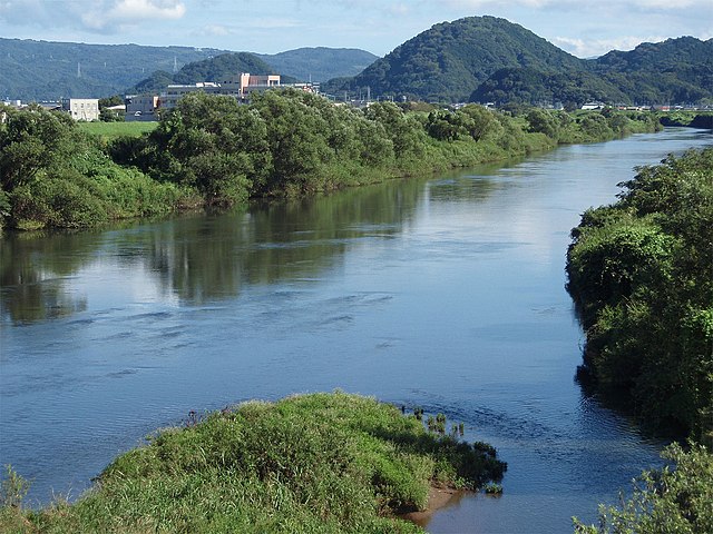
English: Downstream of Kano River in the east part of Shizuoka Prefecture, Japan. Shot on Tokura Bridge in Shimizu. |
||
| Petsa | |||
| Gigikanan | Kaugalingong trabaho | ||
| Tagsulat | Batholith | ||
| Pagtugot (Paggamit pag-usab niini nga file) |
|
| Camera location | | View this and other nearby images on: OpenStreetMap |
|---|
Kaagi sa payl
I-klik ang petsa/oras aron makit-an ang hulagway sa payl niadtong panahona.
| Petsa/Takna | Thumbnail | Mga dimensyon | Tiggamit | Komento | |
|---|---|---|---|---|---|
| kasamtangan | 10:53, 26 Septiyembre 2011 | | 1,500 × 1,125 (389 KB) | Batholith | {{Information |description={{en|Kano river is located in the east part of Shizuoka prefecture, Japan. This photo was took from Tokura bridge in Shimizu town.}}{{ja|[[:j |
Mga paggamit sa payl
Ang mosunod nga mga panid misumpay niining payl:
Global nga paggamit sa payl
Kining ubang wiki naggamit ning maong payl:
- Paggamit sa arz.wikipedia.org
- Paggamit sa en.wikipedia.org
- Paggamit sa es.wikipedia.org
- Paggamit sa fa.wikipedia.org
- Paggamit sa it.wikipedia.org
- Paggamit sa pl.wikipedia.org
- Paggamit sa sv.wikipedia.org
- Paggamit sa www.wikidata.org