
Payl:Kingskettle - geograph.org.uk - 125597.jpg
Walay mas taas nga resolusyon.
Kingskettle_-_geograph.org.uk_-_125597.jpg (640 × 480 pixels, size sa payl: 103 KB, MIME type: image/jpeg)
Mubong sugid:
| Deskripsyon |
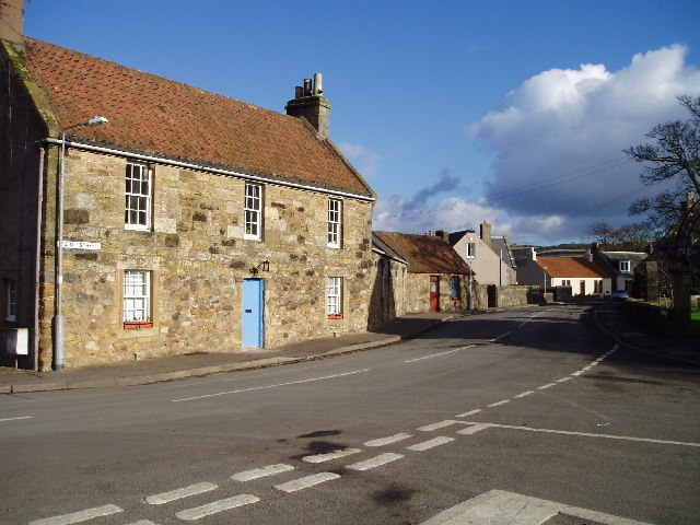
English: Kingskettle. An attractive village in Fife locally known as Kettle which developed in an area which once belonged to the Crown and where an unrecorded battle or Cathel took place, this is how the name Kingskettle came about. The village developed in the 19th century with the opening of the turnpike road and with the development of mining and weaving. |
| Petsa | |
| Gigikanan | From geograph.org.uk |
| Tagsulat | Kevin Rae |
| Attribution (required by the license) | Kevin Rae / Kingskettle / |
| Camera location | | View this and other nearby images on: OpenStreetMap |
|---|
_&language=ceb)
| Object location | | View this and other nearby images on: OpenStreetMap |
|---|
_&language=ceb)
Pagtugot

|
This image was taken from the Geograph project collection. See this photograph's page on the Geograph website for the photographer's contact details. The copyright on this image is owned by Kevin Rae and is licensed for reuse under the Creative Commons Attribution-ShareAlike 2.0 license.
|
This file is licensed under the Creative Commons Attribution-Share Alike 2.0 Generic license.
Attribution: Kevin Rae
- Libre ka:
- sa pagsabwag – sa pagkopya, pag-apod-apod ug pagsabwag sa hinimo
- sa pag-remix – sa pag-adap sa binuhat
- Ubos sa mosunod nga mga kondisyon:
- atribusyon – Kinahanglan nimo nga hatagan ang angay nga kredito, maghatag usa ka link sa lisensya, ug ipakita kung adunay mga pagbag-o. Mahimo nimo kini buhaton sa bisan unsang makatarunganon nga paagi, apan dili sa bisan unsang paagi nga nagsugyot nga gi-endorso ka sa licensor o ang imong paggamit.
- share parehas – Kung imong gi-remix, gibag-o, o gibase sa materyal, kinahanglan nimo nga iapod-apod ang imong mga kontribusyon sa ilawom sa parehas o katugma nga lisensya sama sa orihinal.
Kaagi sa payl
I-klik ang petsa/oras aron makit-an ang hulagway sa payl niadtong panahona.
| Petsa/Takna | Thumbnail | Mga dimensyon | Tiggamit | Komento | |
|---|---|---|---|---|---|
| kasamtangan | 03:30, 31 Enero 2010 | | 640 × 480 (103 KB) | GeographBot | == {{int:filedesc}} == {{Information |description={{en|1=Kingskettle. An attractive village in Fife locally known as Kettle which developed in an area which once belonged to the Crown and where an unrecorded battle or Cathel took place, this is how the na |
Mga paggamit sa payl
Ang mosunod nga mga panid misumpay niining payl:
Global nga paggamit sa payl
Kining ubang wiki naggamit ning maong payl:
- Paggamit sa cy.wikipedia.org
- Paggamit sa es.wikipedia.org
- Paggamit sa eu.wikipedia.org
- Paggamit sa it.wikipedia.org
- Paggamit sa sv.wikipedia.org
- Paggamit sa www.wikidata.org